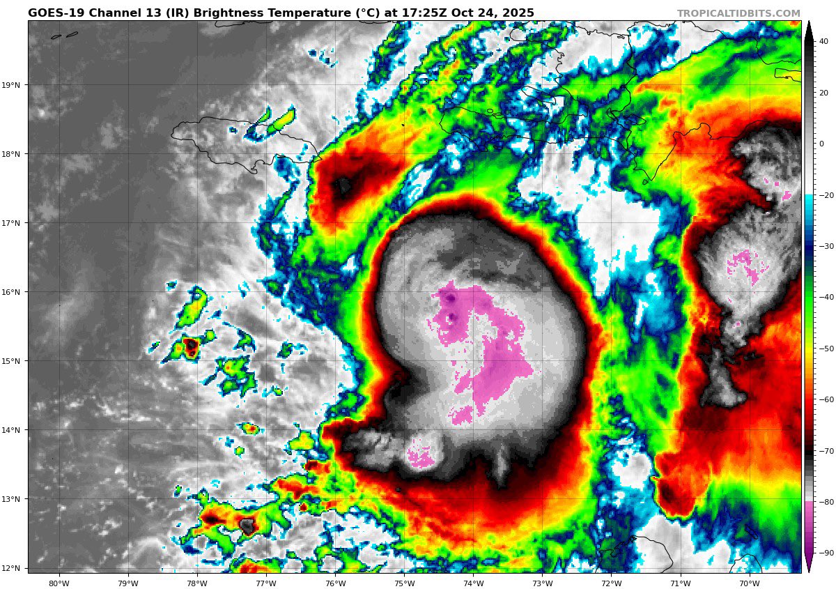
An unfortunate time for reconnaissance to depart- Mellisa has most likely breached the Category 4 threshold, would suspect another pass would be close to, if not <950. Probably will have a C5 by morning.
I run a private weather company and can confirm what Josh is saying is true. If it's a weather forecast, an app, TV weather graphic, Doppler radar stream, or weather model map, the raw data is coming from NOAA.
The US experiences more severe weather than any other nation on Earth. NOAA has been up to the task (death tolls have been falling due to improving tech, timely warnings and collaboration with local meteorologists). Firing 800-1000 experts from NOAA is a giant step backwards.
The tornado, hurricane and flood warnings you receive at home aren't automated. They come from local NWS meteorologists with many years of experience. Best forecasts are man + machine. NOAA was already short-staffed.
These cuts will make it harder to keep your family safe when skies turn threatening. Hype? Wait for it.
This isn't efficiency. It's insanity. A potentially deadly edition of FAFO.
@NWSGreenBay is the inclusion of Outagaimie county in the Winter Storm warning more specifically for the northern portion of the county? Wondering if expected impacts have changed at all for the Appleton area.
@BrokerWx don’t know what the practical implications are of this. The only application of this would be adjusting all rating wind ranges up 40 mph, not increasing every tornado rating by 1.5-2.
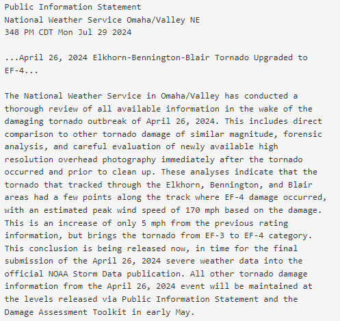
The April 26, 2024 Elkhorn-Bennington-Blair area tornado has been upgraded to an EF-4 rating, a change in estimated maximum wind speed from 165 to 170 mph. Please see the attached for more information regarding this adjustment.