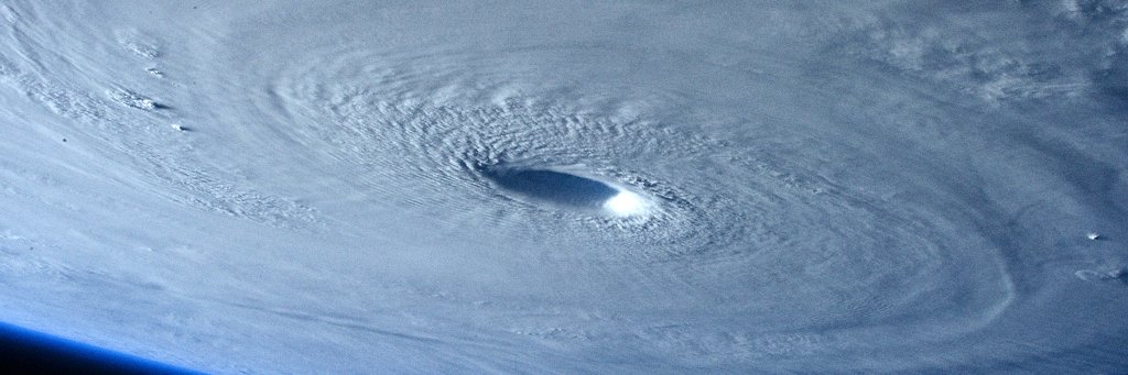
2 AM CDT Update: Eyewall of #Laura pushing inland across southwestern Louisiana. Catastrophic storm surge, extreme winds and flash flooding ongoing. More on Laura at https://t.co/tW4KeFW0gB or your local forecast at https://t.co/SiZo8ohZMN
Hurricane #Laura Advisory 29A: Extremely Dangerous Category 4 Hurricane Laura Makes Landfall Near Cameron Louisiana. Catastrophic Storm Surge, Extreme Winds, and Flash Flooding Occurring in Portions of Louisiana. https://t.co/VqHn0u1vgc
The visible satellite imagery of the very strong low pressure system over the western Great Plains is wonderful. The surface low is now in western KS, just across the CO/KS border. Take a look!
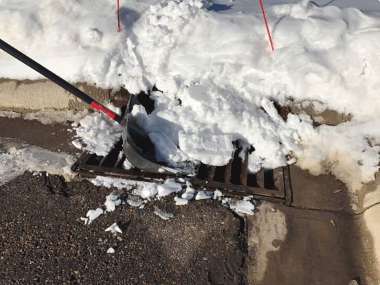
Another way to prepare for the upcoming snowstorm is to clear the snow and ice from the nearest storm drain. When the snow melts, it will need a place to drain to prevent localized flooding. #mnwx#wiwx
A #MnDOT snowplow was hit earlier today in west central Minnesota. Even on the interstate, plows move at approx. 30 mph while they work. Stay alert and stay back at least 10 car lengths—if you can’t see them, they can’t see you. https://t.co/kt5FT1QgA5
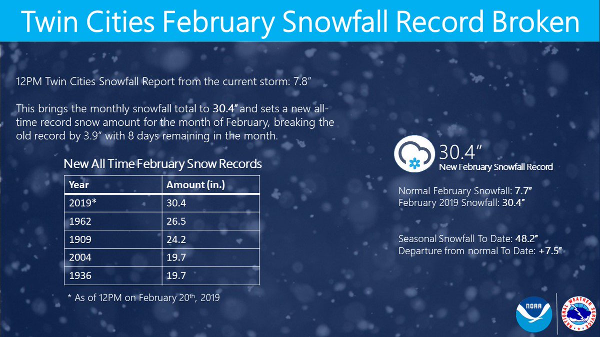
February 2019 is now the snowiest February on record for the Twin Cities, and there is still 8 days to go! In the second picture, some of our meteorologists posed for a picture during the storm this morning as the record was being broken. #snow#minnesota#mnwx