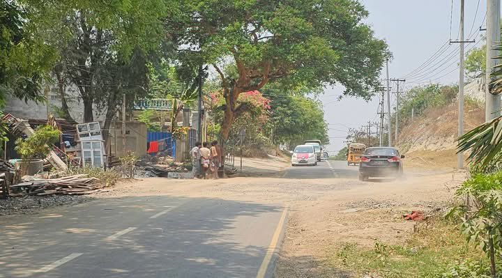
Since the 2021 coup, nearly every facet of life in Myanmar has become a battlefield: public services, aid delivery, and political legitimacy, @ANachemson writes. https://t.co/SRZMU1e6bL
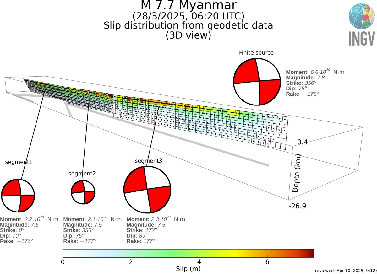
The ~500 km long fault of the M 7.7 #Myanmar#earthquake completely inferred from geodetic (#InSAR and pixel offset) is available at:
https://t.co/OWQ0A7AUhJ
Refinements are expected in the next days.
Thanks to @CnrIrea, @INGVterremoti GeoSAR Lab, @maferp_13, @FraxInSAR
The earthquake that hit Myanmar last week appears to have been a rare type known as supershear - in which the energy of a rupture moves exceptionally fast through the ground, amplifying the destruction
https://t.co/gmJcbGSP2S
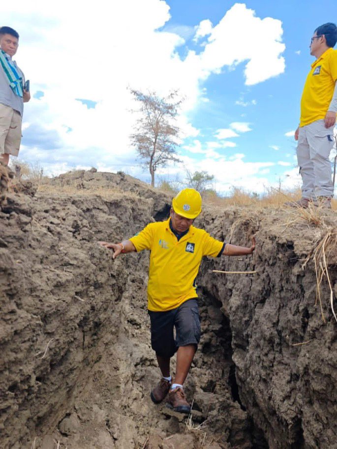
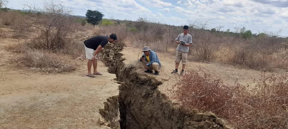
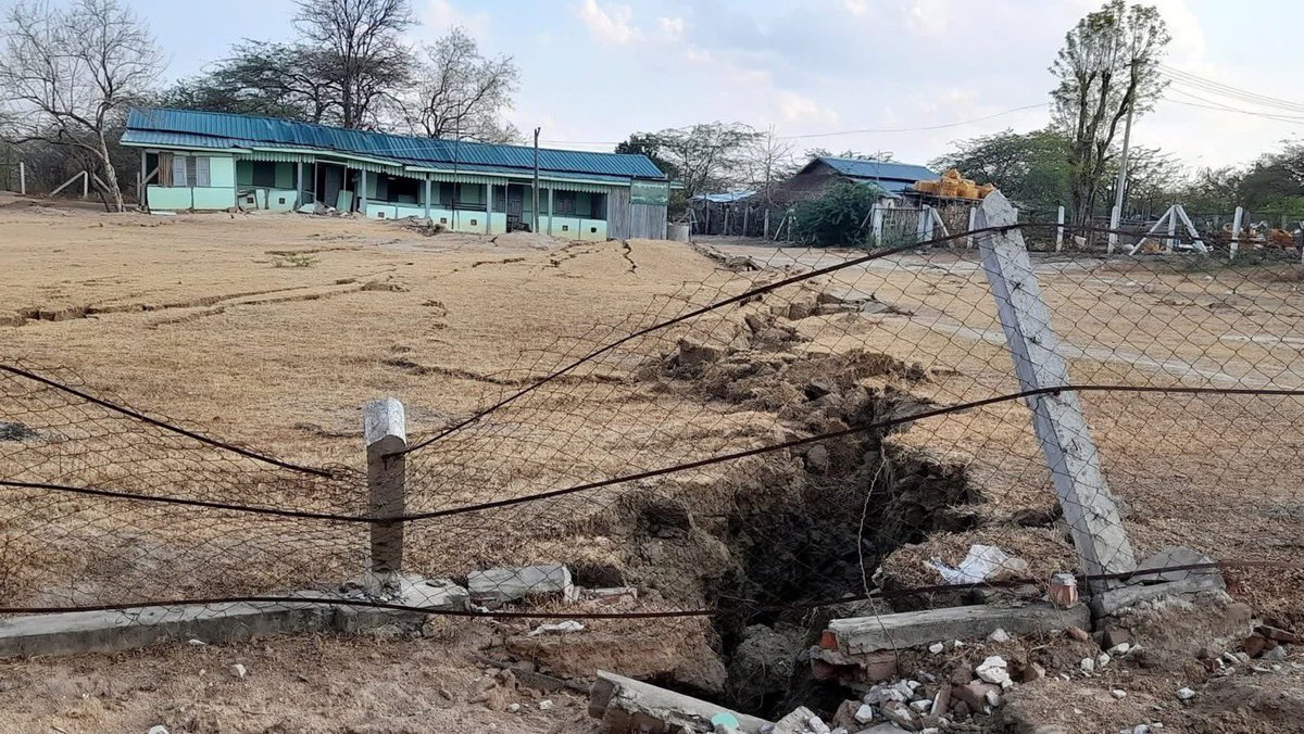
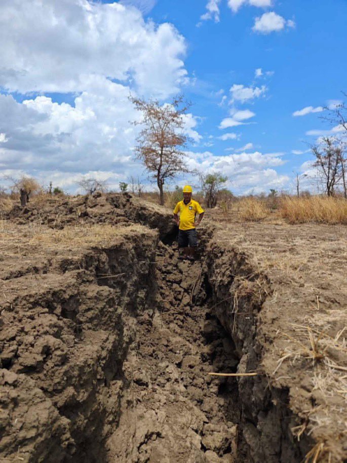
Newly available high-resolution satellite imagery collected by Maxar reveals sections of the surface rupture near the zone of maximum surface displacement of last week’s Mw 7.7 earthquake in Myanmar. Rupture is ~500 km long, with up to 5 meters of fault slip.
People bathe in the Irrawaddy River in front of the collapsed Ava Bridge, also known as the Inwa Bridge, in Sagaing on April 2, 2025, as residential areas remain without electricity or running water five days after a major earthquake struck Myanmar.
📷: AFP
#Myanmar#earthquake
This figure informs us about the historical and current seismicity in Myanmar especially in the Sagaing fault. Also, the Mag 7.7 was strongly felt until 2000 km where massive damages can be found in Thailand.
Severe flooding around Loikaw, Karenni #Myanmar. Left: maximum flooding in 2023 (for reference). Right: 20 Sept 2024. This humanitarian crisis is hitting a city already affected by 3 years of war.
Free synthetic aperture radar (#SAR) data by @esa is such a powerful tool.
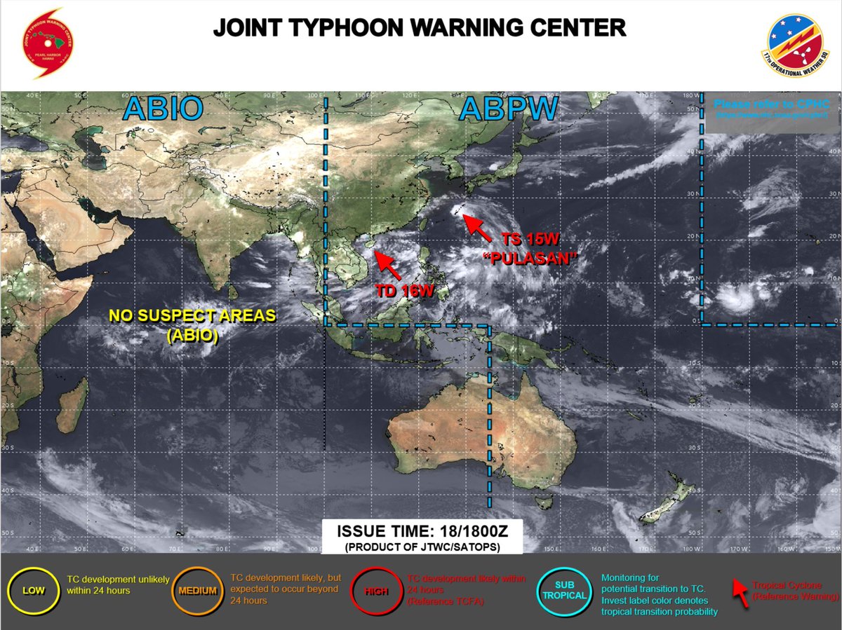
According to Joint Typhoon Warning Center (#JTWC), the Tropical Depression 16W over South China Sea has been moving westward. It may further intensify and begin crossing into Eastern Myanmar on 21st September. Please stay informed. https://t.co/erc39nZkKL