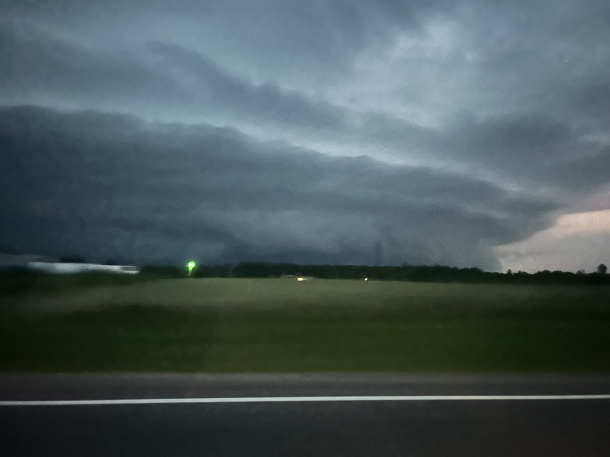
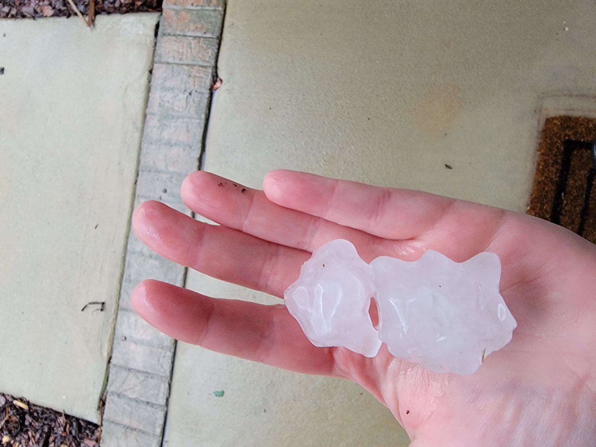
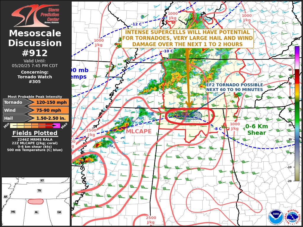
[7AM] Please share any damage or flooding/rainfall reports you might have from the storms last night. Make sure to tell us when & where they occurred. Feel free to share any photos too! Also, please be safe if you head outside, as there may still be debris over some roads! #HUNwx
From Tyler Brady “Hey James! Wanted to share this video of the Madison tornado. This was filmed near the intersection of Newby Rd and Mooresville Rd in Madison/Athens looking south.”
In April 2025, northeastern Arkansas experienced one of its most severe agricultural floods in decades, submerging commodity crops like rice, corn, soybeans & wheat.
False-color #Landsat imagery reveals the extent of the flooding along the Cache River.
https://t.co/gOHtu4oJhq
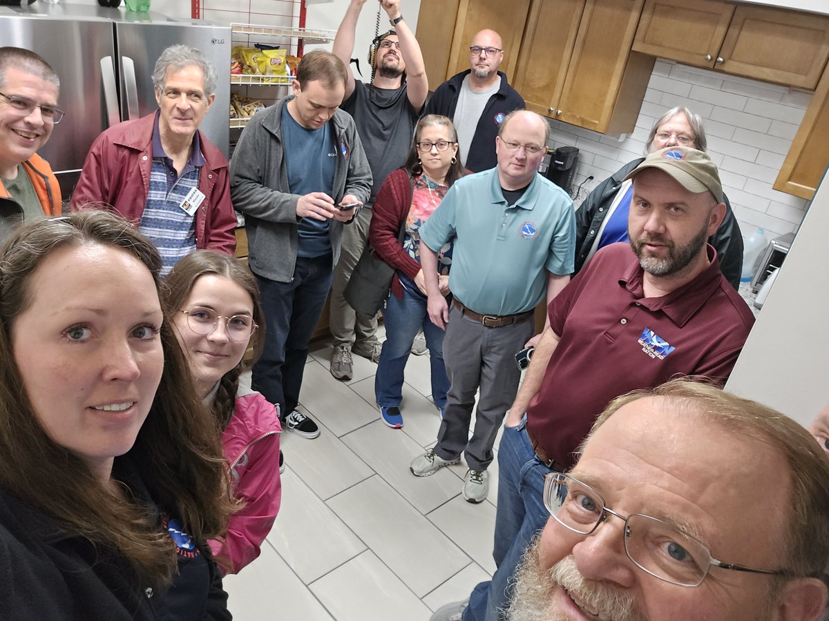
You gotta practice what you preach, and we did just that earlier this evening. Our staff took shelter when a tornado-warned storm was approaching our office. (Our break room is our safe room.) We also took that time to check on coworkers who were in the tornado's path.
Good to see people prepared for the severe thunderstorm/tornado threat.
Remember…
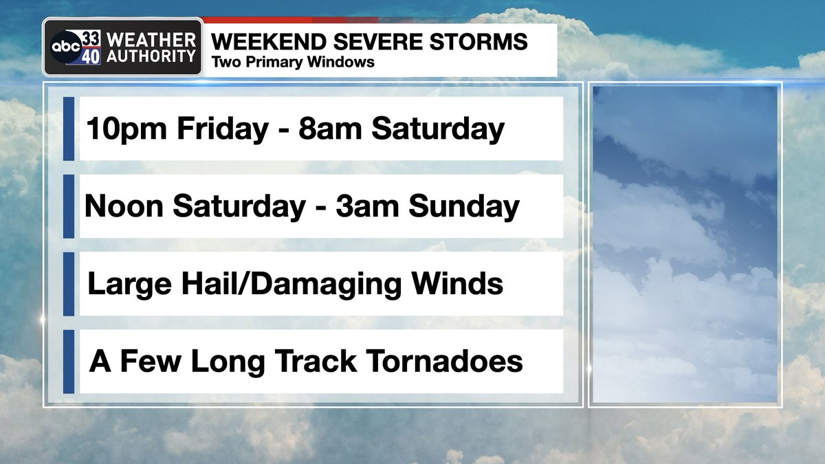
*Round one is late tonight and early tomorrow morning, mainly for the western half of Alabama. 11pm to 8am.
*Round two (the main event) will come tomorrow afternoon and tomorrow night. 11am to midnight for most of Alabama. A few violent, long track tornadoes are possible during this window.
Have a reliable way of hearing warnings. A NOAA Weather Radio is the baseline for every home and business. On your phones, have emergency alerts enabled. NEVER rely on an outdoor siren. Never.
Respect the polygon. If you are in a tornado warning polygon…
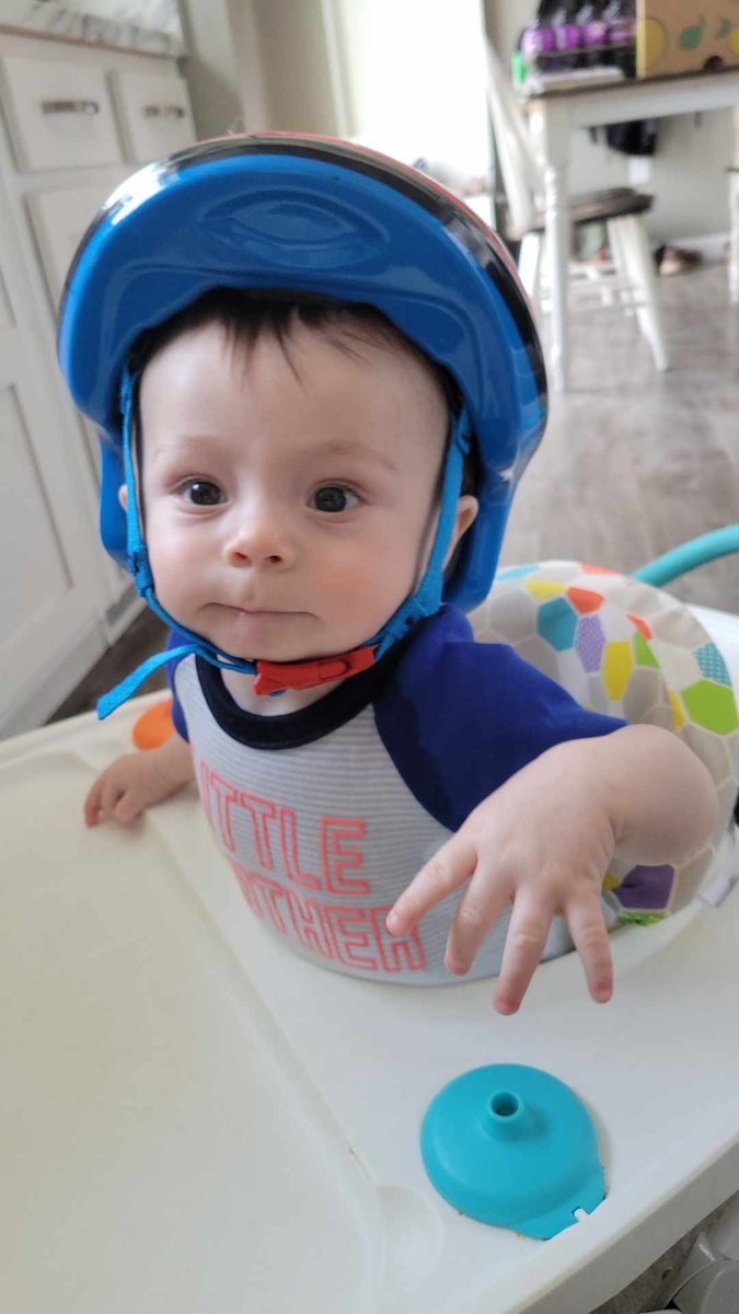
Small room, lowest floor, away from windows, and near the center of the house. In that safe place have helmets for everyone.
If you live in a mobile home, know the location of the nearest shelter, or business open 24/7 that can serve as a shelter. Have transportation arranged.
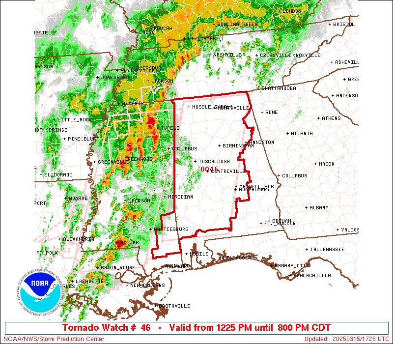
DANGEROUS SEVERE WEATHER THREAT: Alabamians will need to pay very close attention to the weather tomorrow night through Saturday night as a dynamic storm system will bring two rounds of severe thunderstorms to the state.
ROUND ONE
*This comes in the window from 10:00 p.m. tomorrow through 8:00 a.m. Saturday.
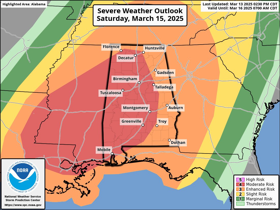
*SPC has defined an "enhanced risk" (level 3/5) for much of West Alabama for this event, with a "slight risk" (level 2/5) as far east and south as Scottsboro, Prattville, and Jackson.
*Highest risk of severe storms with "round one" will be over the western half of the state, mainly along and west of I-65.
*Where storms develop, they will be capable of producing hail and damaging winds. A few tornadoes are possible as well.
ROUND TWO
*This is the "main show"; the window is from 12 noon Saturday through 3:00 a.m. Sunday.
*A "moderate risk" (level 4/5) has been expanded in the latest SPC update to include most of Alabama.
*Storms will be capable of producing large hail, damaging winds, and tornadoes. A few violent, long track tornadoes are possible.
KEY MESSAGES
*Our goal for any severe weather event in Alabama is no loss of life, and no serious injuries. It takes us all working together to make that happen. Everyone must have a reliable way of hearing warnings. Never, ever an outdoor siren. Never. A NOAA Weather Radio should be in every Alabama home and business. On your phone, have WEA (Wireless Emergency Alerts) enabled (look under notifications and be sure "emergency alerts" are active), and have the 33/40 weather app installed.
*In your safe place, have helmets for everyone, including adults. Most serious injuries in tornadoes involve blunt force trauma above the shoulders. Wearing hard shoes is also a good idea. Have a portable air horn for everyone; they can alert first responders to your location if you are injured.
*If you live in a mobile home, know the location of the nearest shelter, or business open 24/7 that can serve as a shelter. Have transportation arranged so you can get there quickly. You cannot stay in a mobile home if you are in a tornado warning polygon.
*If you are reading this, you pay attention to weather. Understand many people don’t keep up with the weather, so you can be a hero during the severe weather event. Let them know this is a high end threat. During the event, if you have a friend or loved one in a tornado warning polygon, call or text them to let them know of the immediate danger. You can play a huge role in saving lives.
*Subscribe to the James Spann and ABC 33/40 YouTube channels so you can watch our live coverage. We are thankful for the out of state YouTubers who do long form severe weather coverage, but to be truly successful in reaching people and communicating warnings in high end severe weather events like this, you have to understand the people, culture, geography, and microclimate of the region impacted.
*We don't share any of this to scare people. But strong wording is necessary on occasion, and this is one of those times. Get the warnings, have a good plan, and we get through this together.
Holy outflow jets! Easy to see why Milton is making a run at sub-900mb again. Shear from the trough is just far enough away to evacuate mass on the northern semicircle, and it’s established a separate anticyclonic outflow jet on the southern semicircle.
🔥Hot off the Press🔥
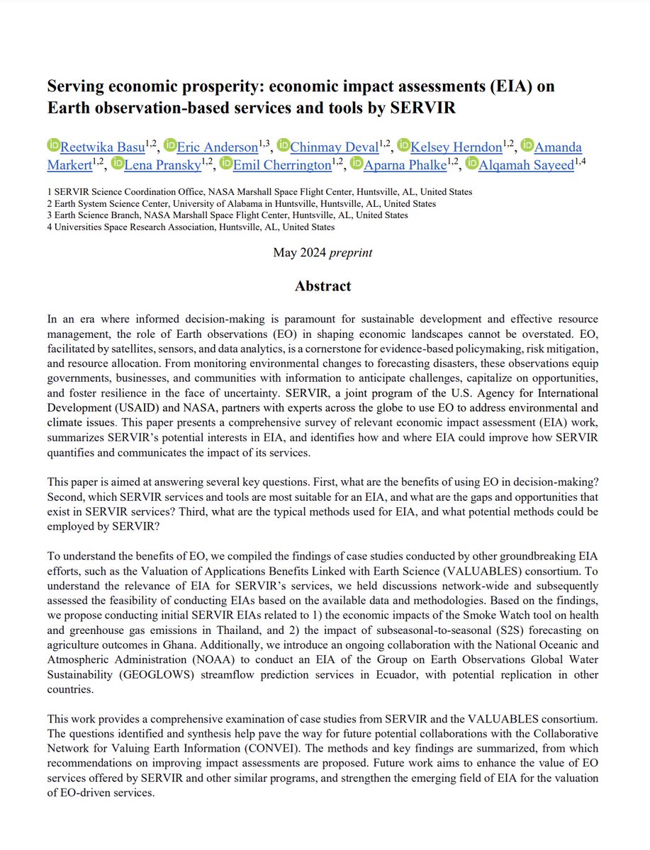
A new white paper led by @UAH_LAS Research Scientist, Dr. @ReetwikaB, highlights the potential of economic impact assessments for quantifying the value of #EO to address environmental challenges across the @SERVIRGlobal network! 👉https://t.co/HHlRbq5M0b






![NWSHuntsville's tweet photo. [7AM] Please share any damage or flooding/rainfall reports you might have from the storms last night. Make sure to tell us when & where they occurred. Feel free to share any photos too! Also, please be safe if you head outside, as there may still be debris over some roads! #HUNwx https://t.co/DVrI1xe2Lh](https://pbs.twimg.com/media/GrdxlghW0AA0T0p.jpg)