Today we celebrate the rich diversity of our planet's wildlife and the vital role they play in maintaining a healthy and balanced ecosystem.
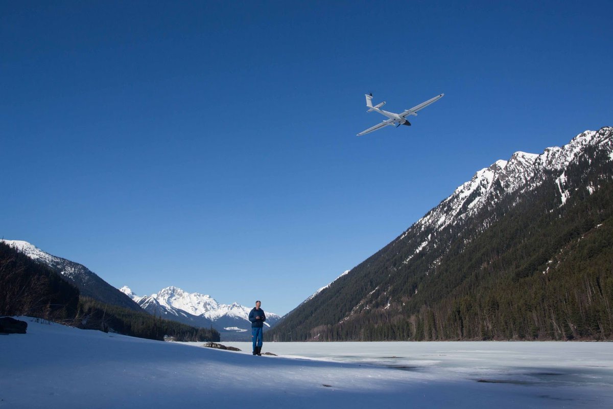
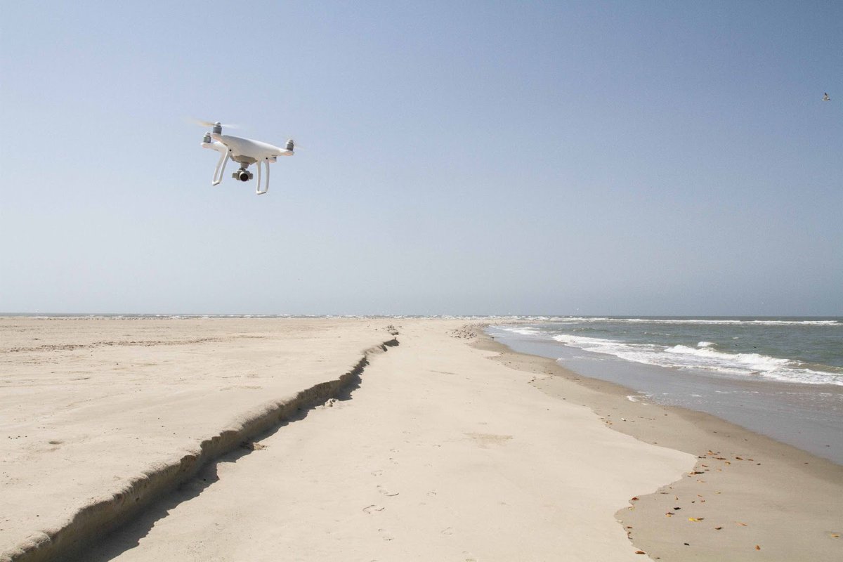
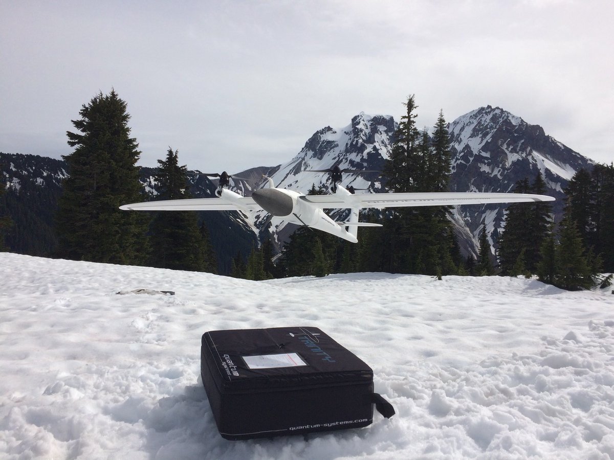
Proud to see our drones assisting organizations like @AeriaAI in their efforts to make a difference.
#WWD2023#Conservation#Surveying
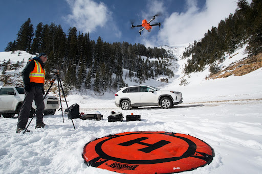
This winter we mapped avalanche paths in the USA using UAVs and a terrestrial laser scanner (TLS) with our colleagues from the Subzero Lab (https://t.co/1S6ymRrBaa). Next step is comparing the accuracy of the pointclouds of the two methods. @wsdot@WYDOTNews
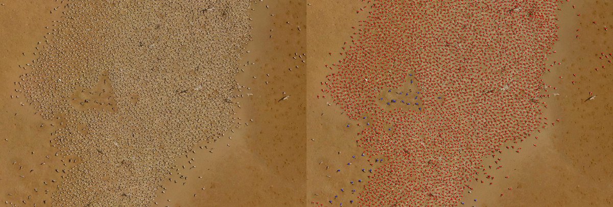
Next, meet Benjamin Kellenberger! Beni is a postdoc at @EPFL_en with @devistuia , where he works on efficient methods to detect wildlife in aerial imagery. Check out his recent work detecting 21K birds in a new dataset in just 4.5 hours: https://t.co/TtpkNMswSh
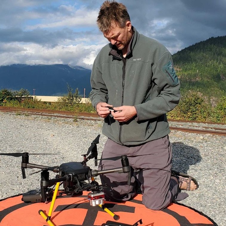
Checking integration of the @MicaSense Altum with the @DJIEnterprise m210 for an upcoming field project. The Altum is quite the amazing payload with both multispec and thermal.
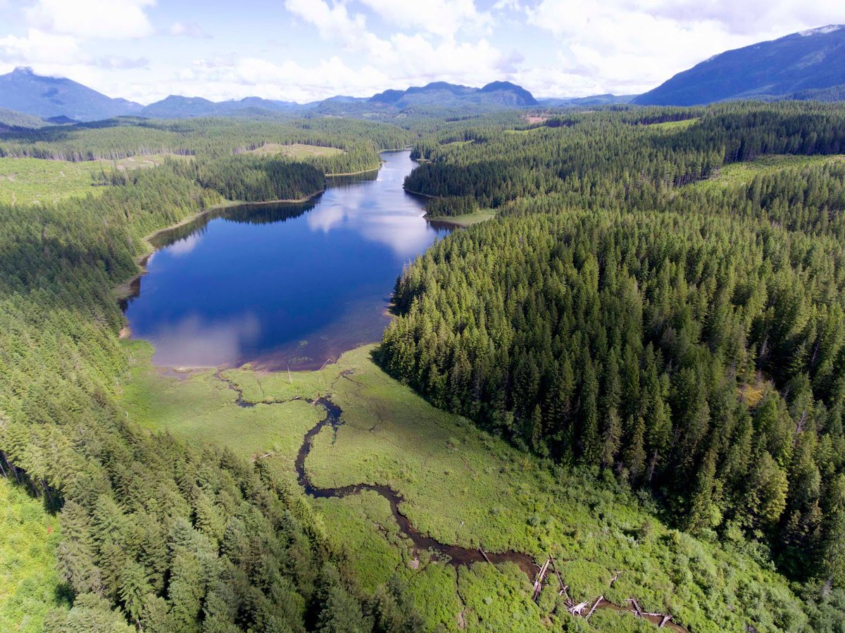
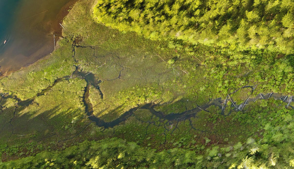
Besides giving a stunning bird’s eye view of our study site on Vancouver Island, aerial imagery provides insight into ecological factors that shape the adaptation of threespine stickleback fish to lakes and streams. #beautifulbc
To analyze our African seabird data we developed a Convolutional Neural Network for automating the detection and counting of the different species together with Benjamin K. (https://t.co/qULrOZtKBv) and @devistuia with support of an AIforEarth (https://t.co/gfQY8Tg0RH) grant.
In 2019 we had the incredible opportunity to census the global breeding population of West African crested terns across five countries. We aim to repeat this in 2022 after a two-year Covid hiatus.
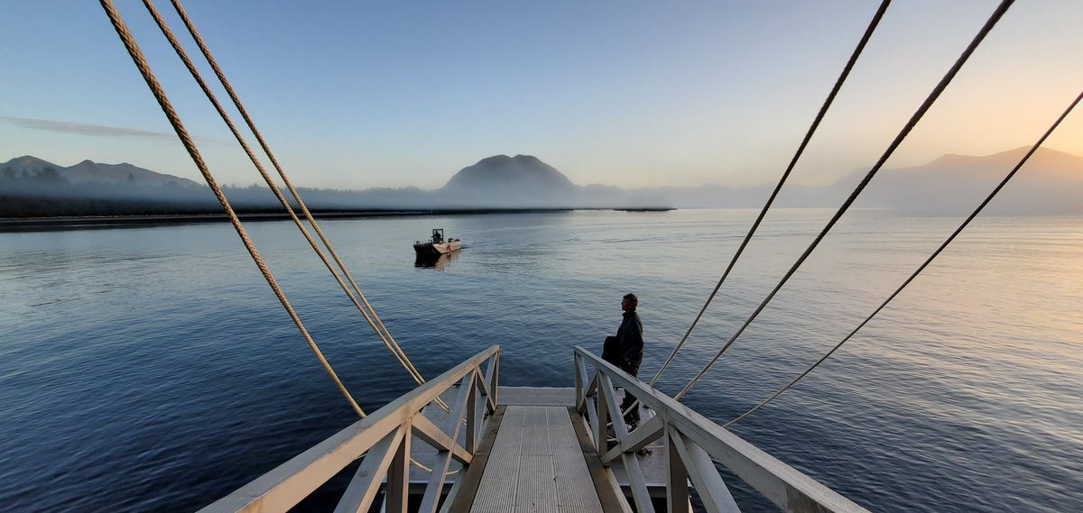
Last year we started collaborating with @FieldCoast Station to investigate the use of RPAS to detect salmon and automate the counting process. After a successfully first season, we are excited that the Pacific Salmon Commision granted us funding for a second year.