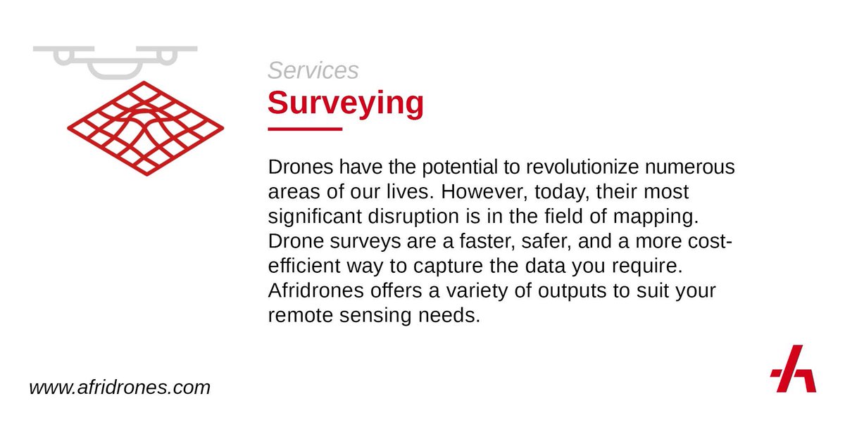
In the surveying and construction industries, it’s becoming an accepted fact that drones offer a better way to complete mapping projects.
However, the technology is so new that most professionals are unsure where to begin. Contact us do kick-start your operations.
#dronesforgood
Are you looking to plan contours for your fields? Measure stockpiles at your business facility? Or monitor progress on a construction site. We extract the data, make sense of it, and report right back to you.
#dronesforgood#afridrones#drone#aerospace#survey#mapping
"The drones go out on patrol on risky routes where our ground patrols or checkpoints have failed."
Tax authorities in Zambia have started using drone surveillance to track down lorries smuggling in goods to avoid customs duty.
More from @KennedyGondwe: https://t.co/yJrChGthTh
Where we’re going we don’t need roads. Or railways. Or runways. Or bridges. Or tunnels. We want to deliver 360° connectivity for communities without the need for expensive and environmentally damaging infrastructure.
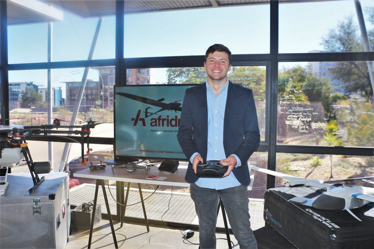
At Afridrones, we create practical and innovative UAV solutions for individuals or companies alike. From concept to accomplishment, we’re here to transform the way drones integrate into your business’ growth strategy and operations.
#dronesforgood#afridrones#drone#uav#africa
We've got awesome and exciting news to share 🙌
Westair Aviation announced yesterday the launch of their new Scheduled Passenger Airline, FlyWestair.
#namibia#fly#airline#flywestair https://t.co/OJlByupvXu
"While mapping and inspections are usually outsourced to [Drone Service Providers] DSPs, surveying and monitoring jobs are mainly kept in-house"
@Droneii states in its newest report.
Contact us for a consultation session on how your business can leverage drone data!