DroneSurv is the aerial survey department of Land and Minerals Consulting Limited (a multi-disciplinary geological, geotechnical and survey consultancy).
Yan, Tan, Tether, Mether, Pip....Dick....Bumfitt....Jigget. I lost count at 20. If you require a proper drone pilot, do please contact us! This looks like it will be another great show.
"In just 25 minutes I’ve completely mastered sheeping” - @JeremyClarkson
[10 seconds later]
"Oh shit."
Clarkson's Farm starts on 11th June, you herd it here first.
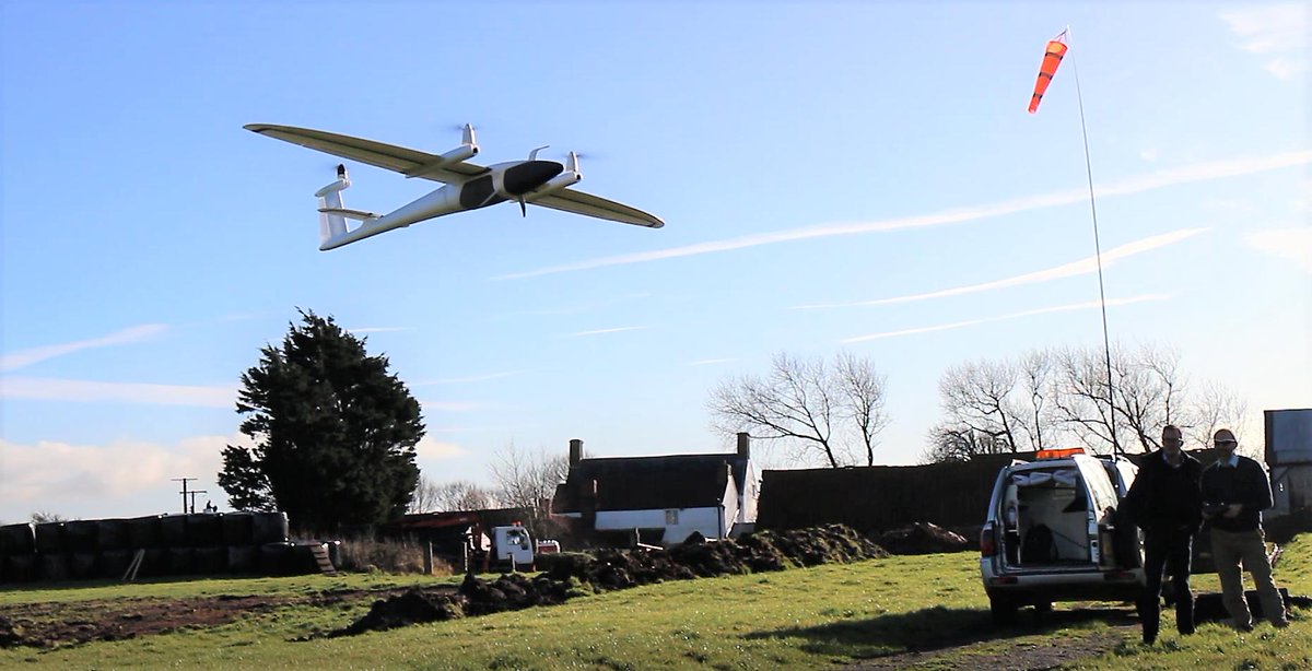
After we have integrated the #Altum#multispectral camera into our #VTOL#drone#TrinityF90Plus in close cooperation with @Micasense a few months ago, we are happy to present another world novelty soon!
https://t.co/0XQNsBcG0g
Stay tuned!
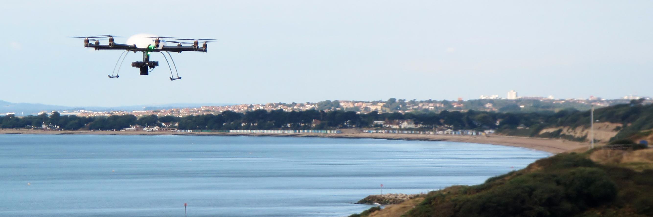
Challenging week ahead of surveying in Gibraltar. UAS flight planned from the top cable car station tomorrow. Today Matt was helped by his new survey assistant! We had to remember to not put the controller down otherwise an ape would pinch it!
Interesting location for sea cliff survey at Torr Point, Co Antrim. Site of a proposed film location in 2020. Surveyed with Adam Morrison from Quarryplan
DroneSurv's Pilot and Maintenance Engineer (Matthew) receiving training to maintain, replace and repair @quantumdrones Trinity. If you buy a #vtoldrone TrinityF9 or F90+ from us in the UK you will be assured of the best possible after sales assistance.
Half of @quantumdrones international resellers (including Dronesurv for the UK) receiving some Advanced Flight Training (the other half were on Maintenance). Trinity was demonstrated safely flying an unaided Visual Line of Sight flight out to 1.2km within 2.5km of an airfield.
During @quantumdrones Advanced Pilotage Training this morning we were shown how to use a contour base map and the "corridor planning" element to survey a steep alpine valley side with Trinity. Even with terrain following this was still a challenging survey area.
DroneSurv staff are currently on an informative 3-day "Advanced Flight Planning, Maintenance & Repair" course held by @quantumdrones staff at their Bavarian Headquarters for their Trinity F9 and new Trinity F90+ drones.
Great and informative day @quantumdrones. We've met and listened to some interesting and fantastic presentations from around the world. Amazing to see #EVLOS#lBVLOS applications of Trinity. We hope UK authorities can learn form them. #Safedrones! #Usefuldrones!
We present the #TrinityF90Plus – 90+ minutes flight time – 700g payload (dual @MicaSense and Sony camera options), PPK ready, 2.4 GHz telemetry with 7.5 km range, ADSB in & out and 100km flight range #UAV#drones#rpas#UAS
https://t.co/0XQNsBcG0g
Today was a great day to demonstrate @quantumdrones Trinity VTOL drone to @ARPASUK Anna-Lise. Weather NW F3 gusting F4-5. I'm sure there are many mutually beneficial experiences to be shared after today.
We're ready for @GEOBusinessShow. #LiDAR#Drone#Survey. Visit us on stand B11 in 'The Drone Zone' to discuss remote geological and geotechnical mapping services.
Land and Minerals Consulting (Dronesurv and QuarryDesign) will be exhibiting at @GEOBusinessShow stand B11 next Tuesday and Wednesday. We will be showcasing our LiDAR and Drone acquisition methods, processing techniques, mapping abilities and analytical software.
Today we ordered our 2nd Trinity @quantumdrones VTOL Drone (this time their PPK F9 version) further strengthening our wide variety of drone capabilities. Whatever your application, we probably have a drone that will deal with it (from large scale surveys to building inspections).
Today is the last day to secure an extra discounted offer for our #UAVs Tron, Trinity & #TrinityF9. Don't miss the chance and contact your @quantumdrones reseller directly. #drones#eVTOL#UAV
https://t.co/I1TAwrlg85