Impassioned by the power of technology, analytics, & economics to change the world. Mom, constant gardener, and long distance runner. Tweets are my own.
Our annual flagship event, the Innovation Summit for Preparedness and Resilience (InSPIRE), will be held April 6-8th as a VIRTUAL EVENT. Registration will open in March! https://t.co/M8AUAJGFq3
SHARE YOUR EXPERIENCES to inform a data-driven COVID-19 AAR process! A questionnaire is now open to collect feedback on the use of data-driven decision support tools & tech by the public safety community in COVID-19 response. Participate at https://t.co/DB4lbNGAOd.
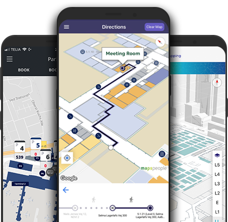
The @napsgfoundation i-Axis Team will be presenting and answering questions about Indoor Mapping, Tracking, and Navigation at the virtual #PSCR2020 Digital Experience. No-cost! Sign-up here: https://t.co/1nWPLKMqOL
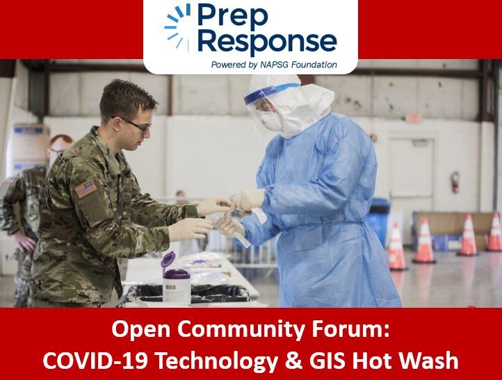
Slide deck & recording now available! Open Community Forum: COVID-19 Technology & GIS Hot Wash (Part 1) -- https://t.co/uZylL3DhtM
Ensure your voice is heard by completing the COVID-19 Technology & GIS AAR Questionnaire! https://t.co/LJYKRjnlGk
Learn about the latest technology, national guidance & tools available to increase your agency's readiness to hurricanes. TUESDAY, June 30th, 2:00-3:00 pm Eastern https://t.co/T3x0PfPMAW
Sitting in on the @napsgfoundation#COVID19 Open Forum today. Recording and slides will be available as soon as possible.
Link: https://t.co/H1h9cGLkME
p.s. Nice work @alexisgieseker@KB3JUV@BoulderOEM and thank you for contributing!
Last chance to register! Listen, learn, and share your location-enabled technology and GIS-related challenges and success stories in COVID-19 response. June 23rd, 2:00-3:30 pm Eastern https://t.co/Wkcj6uHd5y
It's not too late to sign up for Thursday's EM Geo Forum! Learn about building a geospatial game plan for tornado readiness, response, and recovery. Register for this virtual event at https://t.co/mnJKIBle9D.
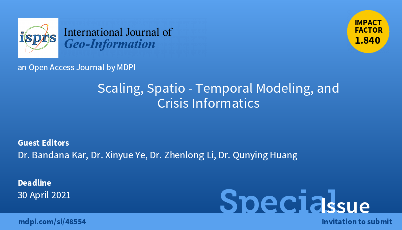
The ISPRS International Journal of Geo-Information is soliciting articles that advance theories in crisis informatics to aid with crisis/disaster preparedness, mitigation, recovery, and resilience. For details, visit https://t.co/kmIyfVZMJr
Deadline: 30 April 2021 #Call4Papers
Call for Participation. @napsgfoundation@nsgic and @URISA are requesting your participation in a nationwide Inventory of Data Feeds for Health/Medical Capabilities.
Please take 5 minutes today to complete the Inventory Form: https://t.co/FClYwvcQ2b #Covid19#GIS
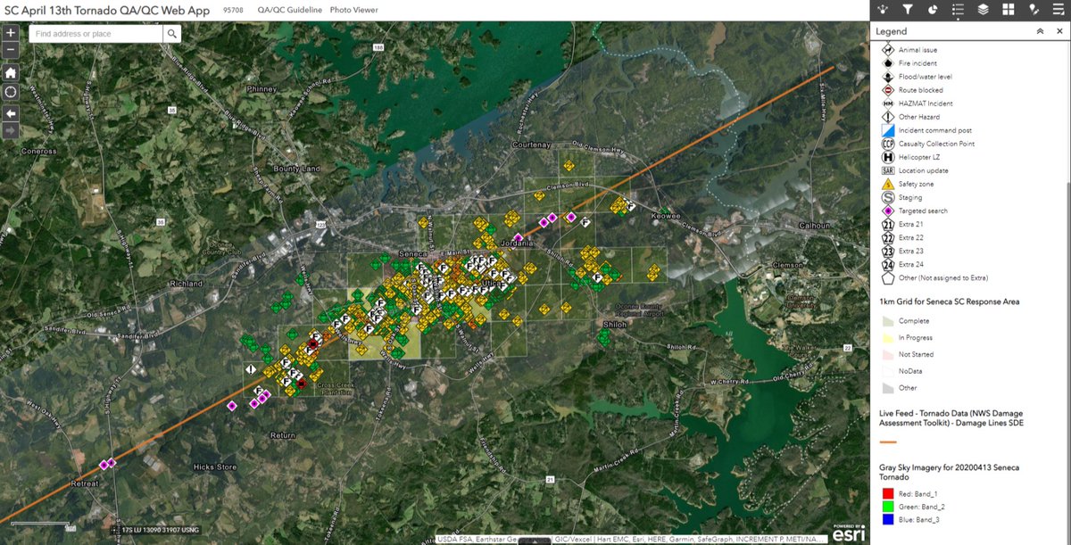
On April 13th, tornadoes broke out across the Southeast. NAPSG & @GISCorps team supported the SC Emergency Response Task Force with validating field data for damage assessment -- https://t.co/eGJZrSgmWf. Special thanks to @gic_org for gray sky imagery.
Help Reduce Reporting Burdens! Contribute to the Inventory of Data Feeds for #Health & #Medical Capability Reporting https://t.co/8u85ZdszIA #covid19#preparedness
How does YOUR agency manage resources? Complete our anonymous Resource Management Maturity Study to help inform future resource management guidance and systems -- https://t.co/8qCTlYjMhM. For more information on the study: https://t.co/uCWYTx5f8M
The @GISCorps mapping photos from tornadoes in #Alabama#AL
Map: https://t.co/iKlYYxl2e8
Platform with links https://t.co/roy39EKRQx
+@ed_harrell let us know if there is an area of interest you need.
Contribute to the National Inventory of Data Feeds for Health & Medical Capability Reporting. Join the effort! https://t.co/8u85ZdaYR2 #covid-19 #publichealth#datapreparedness
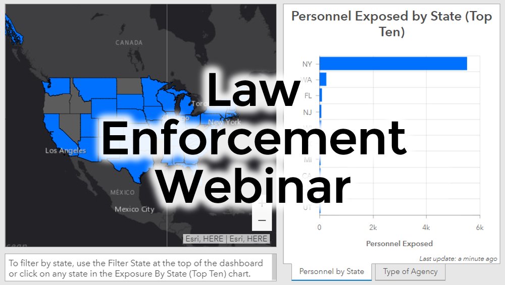
Join our NAPSG team, Esri & the National Police Foundation on Thursday, April 9, 12:00 pm ET as we discuss a real-time COVID-19 situational tool for law enforcement reporting & tracking of COVID-19's impact on first responders. Register at https://t.co/b7adt6Nvgo. Hosted by Esri.