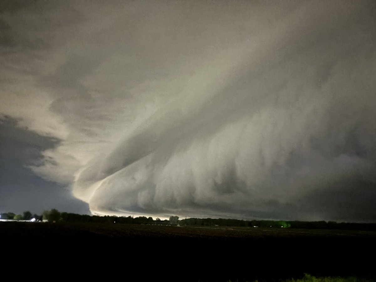
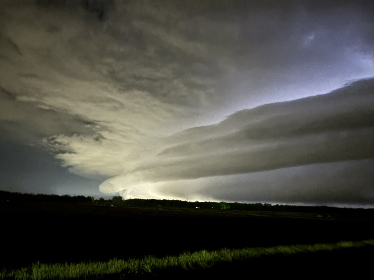
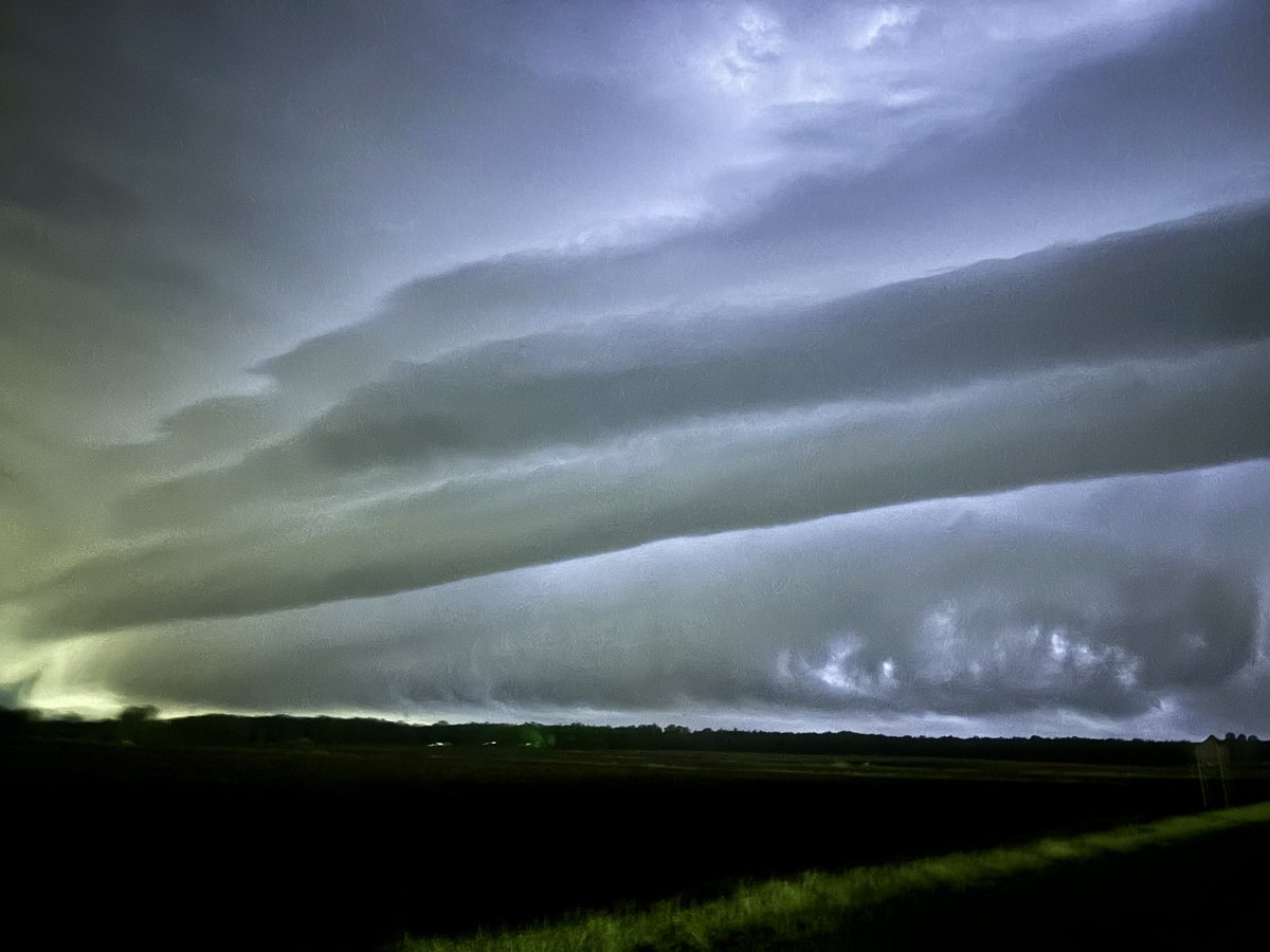
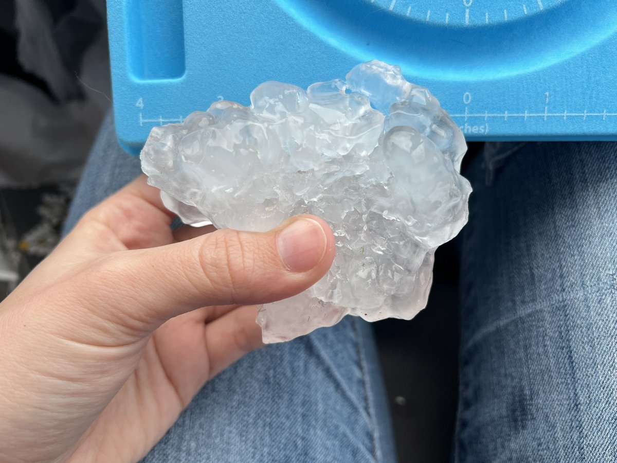
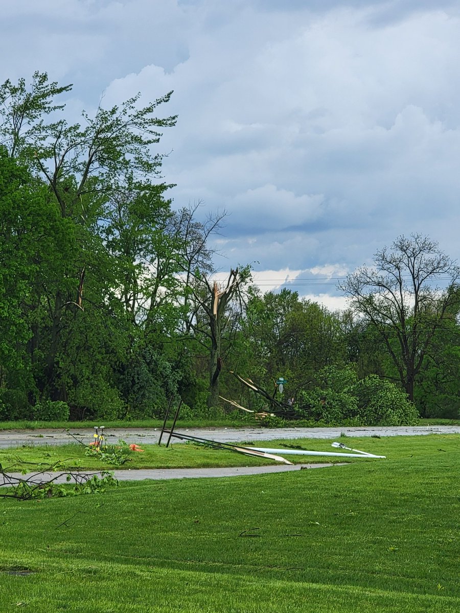
Episodic thunderstorms the past three days resulted in patches 1.5 to 4 inches of rain in West Michigan. The Holland area had 3 to 4 inch totals the last three days, a big turnaround compared to the 4 to 5 inch totals from the entire three-month span of June, July, and August.
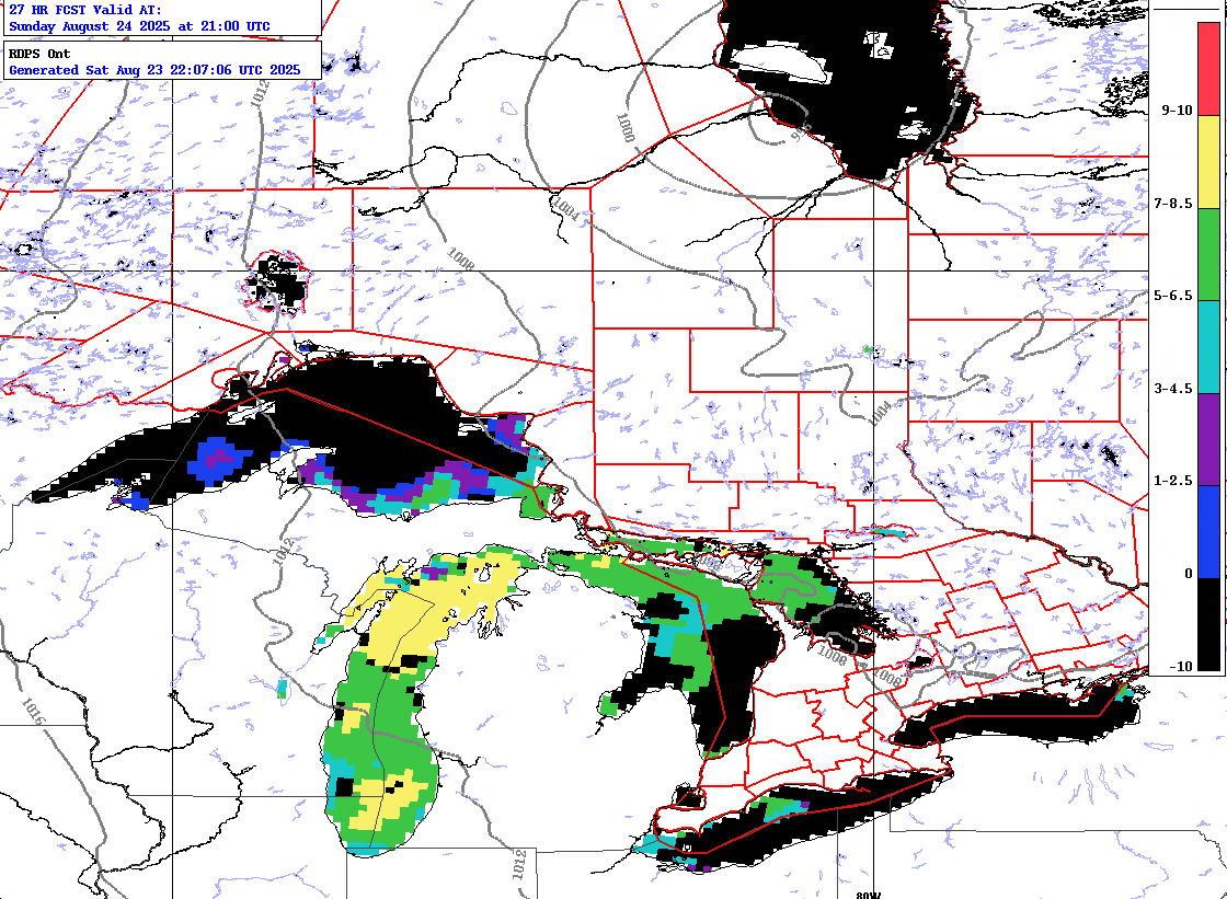
Callout to all waterspout hunters around Lake Michigan. We expect numerous waterspouts over the lake on Sunday. Send us your reports! Below is the waterspout potential forecast map for 5 pm EDT. https://t.co/WPioHG0Az6 #miwx#wiwx@NWSIWX@NWSGrandRapids@NWSGaylord
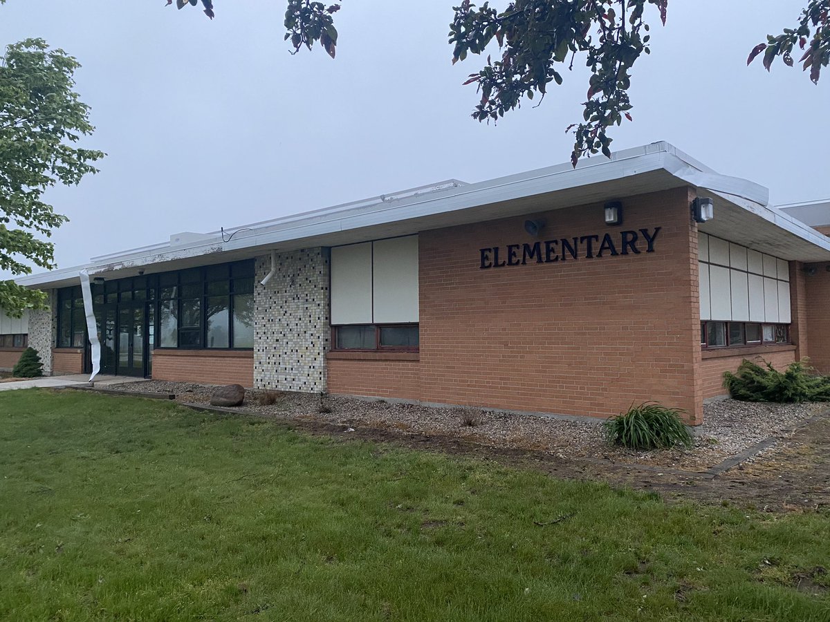
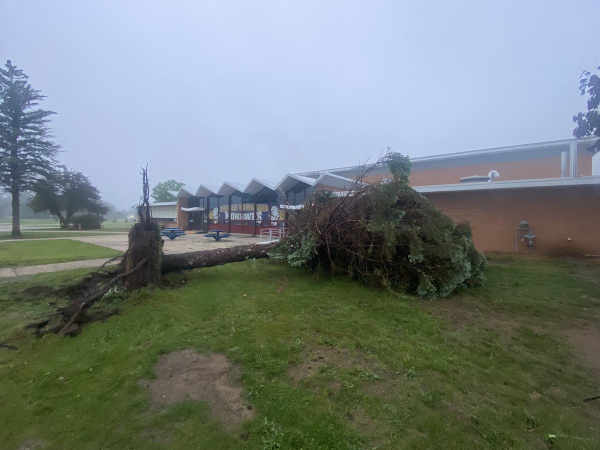
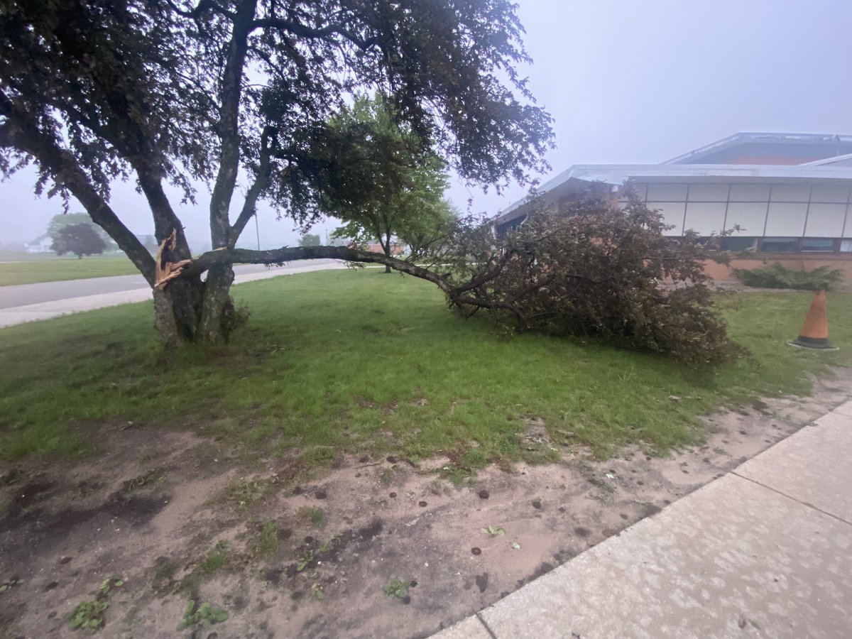
Sporadic tree damage on the grounds of Morley-Stanwood Community Schools.
One particular pine uprooted, some minor roof/siding damage at the elementary school. @NWSGrandRapids
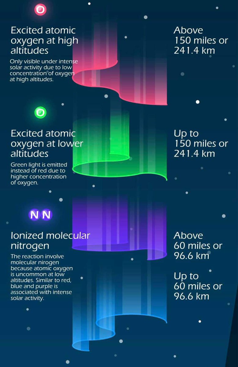
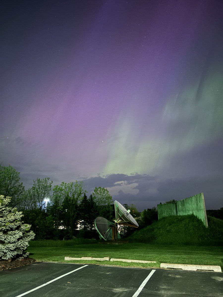
Additional Aurora sightings (weather permitting) may be possible this evening into tomorrow! A Geomagnetic Storm Watch has been issued for Sunday, May 12th. Periods of G4-G5 geomagnetic storms are likely! 👀
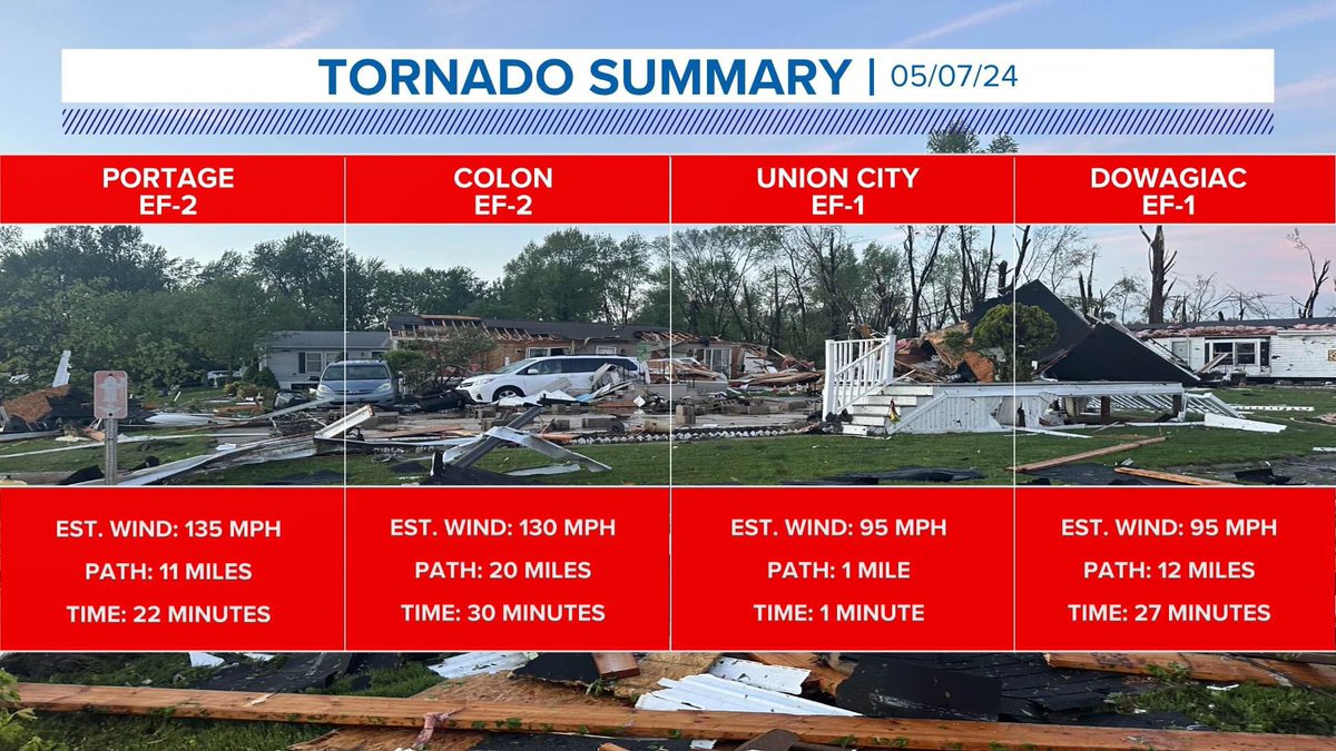
A fourth tornado has now been confirmed for Michigan on Tuesday. A second EF-2 in Colon with winds at 130 mph with a 20-mile-long path that lasted on the ground for 30 minutes. @wzzm13
Here are the rotation tracks (NROT) of the tornadic supercells from Tuesday.
Notice the two distinct rotation tracks that followed nearly the same path from Decatur through Portage to Battle Creek. #miwx
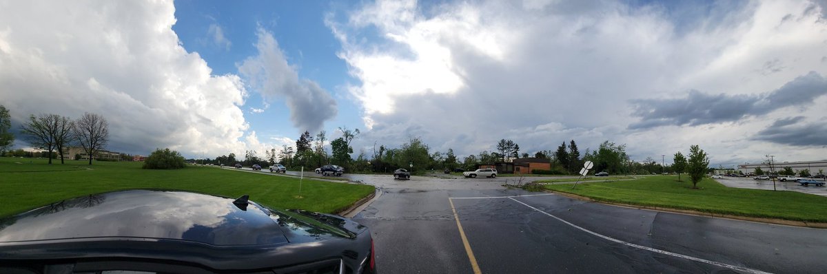
This is all that’s left of a strip mall at the corner of Oakland and Centre in Portage after a #tornado this evening. @JuliaGorman10 just spoke with a man who was INSIDE this building when it collapsed around him. We’ll share that interview with you as soon as we can on @wzzm13