Just lost power moments ago as 100+mph winds are absolutely rocking us in Sargent, Texas.
Had a 122mph wind gust associated with the outer eyewall with #hurricaneberyl@NWSHouston@ryanhallyall
These #bucees employees in Freeport, TX, earning their paycheck, re-wrapping gas station pumps in the outer eyewall of #HurricaneBeryl Still open for business too! #txwx@bclemms
Not good to see Category 4 Hurricane #Beryl intensifying as its northern eyewall slams the southern part of Jamaica.
Beryl was expected to weaken due to wind shear, but has continued to defy the odds, with sustained winds of 140 mph and gusts to 175 mph.
🚨#BREAKING: Emergency officials have just issued a warning that the Lake Livingston Dam spillway is at risk of potential failure 📌#Livingston | #Texas
Currently, emergency officials have declared a "potential failure watch" for Lake Livingston Dam in Livingston, Texas. This means officials will monitor and evaluate the spillway's integrity and make repairs or take other necessary actions. Recent rainfall and flooding have caused issues at the dam, particularly with the spillway. So far, they have stated that there's no immediate danger of failure, but the possibility is there
NEW: Surveillance footage captures the moment a 100 foot wide and 30 foot deep sinkhole swallows a soccer field in Alton, Illinois.
The footage shows bleachers and a light pole getting completely swallowed by the sinkhole at Gordon Moore Park.
According to local reports, the sinkhole was caused by an underground mine owned by New Frontier Materials.
Thankfully, no one was injured.
“No one was injured in the incident, which has been reported to officials at the Mine Safety Health Administration in accordance with applicable regulations,” said a New Frontier Materials rep.
“Safety is our top priority. We will work with the city to remediate this issue as quickly and safely as possible to ensure minimal impact on the community.”
Source: KSDK News
Southwestern Florida could receive up to 22 inches of rain, which is on par with a major slow-moving tropical storm or hurricane. https://t.co/7DhEv7LPrx
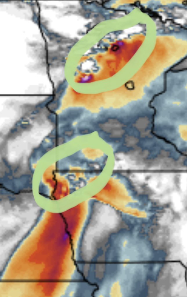
I could see a regionally bimodal severe weather and #tornado setup tomorrow (Wednesday) late afternoon and evening across the extreme eastern Dakotas into Minnesota and northern Iowa! We will be activating live storm chase mode tomorrow. Team Dominator is BACK!
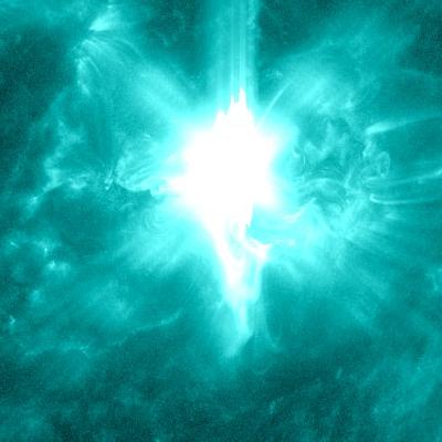
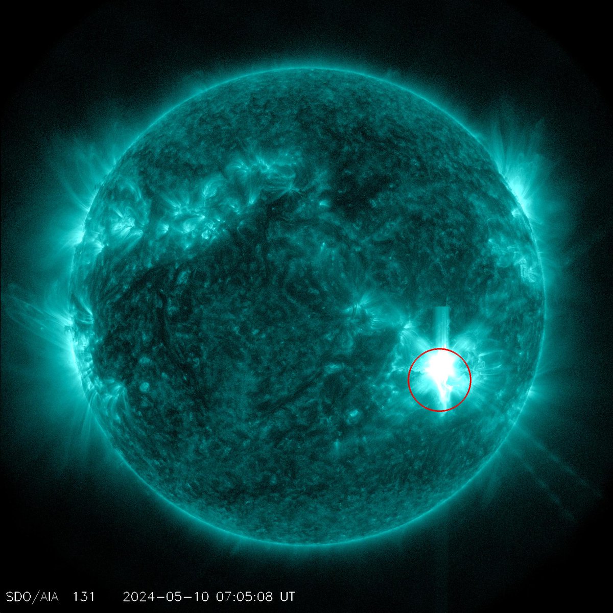
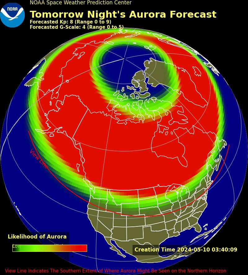
ICYMI, @NWSSWPC has issued the first G4 (Severe) geomagnetic watch since 2005. The aurora tomorrow may become visible over much of the northern half of the country, and maybe as far south as Alabama to northern California.
https://t.co/SFKgB9x678