TRAFFIC ALERT; Eastbound & westbound lanes of Cape Coral Pkwy are shut down at Skyline Blvd due to a sinkhole. Please avoid the area! We will post updates here. (4:25PM TUE).
BIG NEWS: THE US POSTAL SERVICE confirms to @winknews that mail will be delivered from the Downtown Fort Myers Post office starting Monday. No retail (indoor) operations yet - stay tuned.
#Inflation is hitting hard in SWFL, affecting many lives in so many ways. No one should worry about putting food on the table. Join the generous 92.5 FOX News audience & support @HCFBSWFL & contribute to @winknews March to a Million Meals! https://t.co/EfmouG04MQ
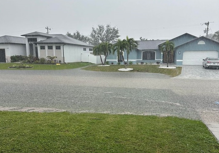
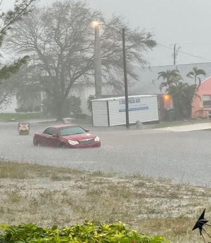
NEW: Significant street flooding right now in progress in Southwest Cape Coral after 2 - 4" of rain...and counting. Turn around, don't drown! @WINKNews@NWSTampaBay#swfl
@dansenor@dansenor Can we use your video at 68th and Lexington for our local news in Fort Myers FL? Please DM if you are ok with that (with credit, of course).
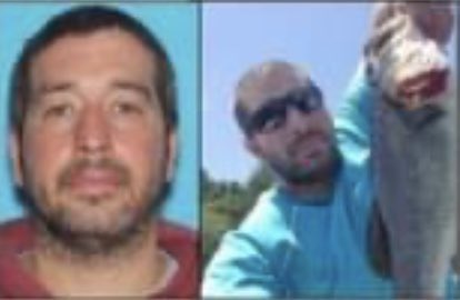
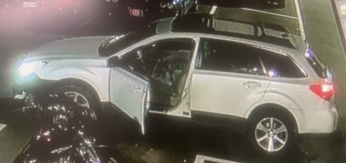
#Sources: police found what appears to be a suicide note in Robert Card's home. It was addressed to his son. Today investigators began searching the river near where his car was found Wednesday night. #LewistonMaine#WBZ#ITeam#CBSNews
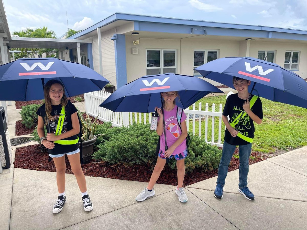
LOVE THIS! The safety patrols over at Cape Elementary School @CapeElem are staying dry while on safety patrol duty with some @winknews umbrellas! ☔️🤩❤️
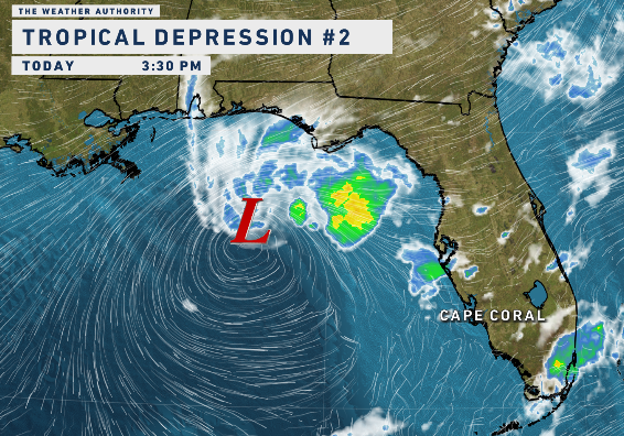
TROPICAL UPDATE 🌀 Odds are increasing for a tropical system to impact Florida for the first half of next week. Here's the latest as of Thursday evening:
👉 TRACK: Highest probability is Florida, but too early for precise track and what part of the west coast. As a result, we can't talk specifics yet on rain, wind, etc.
👉 INTENSITY: Big range in models from just a rainmaker to a tropical storm or even Category 1 Hurricane. The reason for the range is because it hasn't formed yet. If and when it forms, models will get a better handle after on what this becomes. Very warm waters with a lot of energy in its path would help promote strengthening. Wind shear, however, in the Gulf could create a more hostile environment for the system. We'll see how things unfold.
👉 TIMING: For Florida it would be as early as Monday to as late as Wednesday. Within that window.
Best case scenario is a weak and disorganized rainmaker across the state that helps with our west coast drought. We need the rain! But also monitor for the (other) side of possibilities. Please be smart and put things into perspective if you see a worst case scenario model floating around the internet. Always look for model consistency and trends, not what just shows the worst. Relax and monitor for now until specifics become more clear soon. I'll keep you updated on WINK News 24/7 with no hype, just facts weather. @WINKNews
🌈 FLORIDA RAINBOW! 🌈
One of the most vibrant of the year spotted this evening near Arcadia. Might even be able to see the pot of gold at the end too. 😉 Credit: @WINKNews viewer Johnathon McDaniel @stormhour@WXRules@nikkisheaks