Recent rains have brought water down the Darling River, New South Wales🇦🇺 as seen by #Sentinel3 🛰️ comparing 3 September with 23 November, with time-lapse at the end. Uses data processed with @sentinel_hub
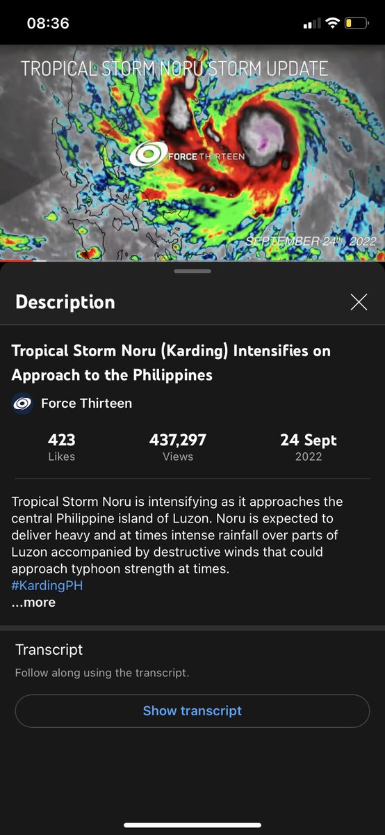
437k views is something I never thought I would reach on any one of my storm updates, however Noru Update 2 on the Force Thirteen channel proved that dead wrong. I will forever remember this!
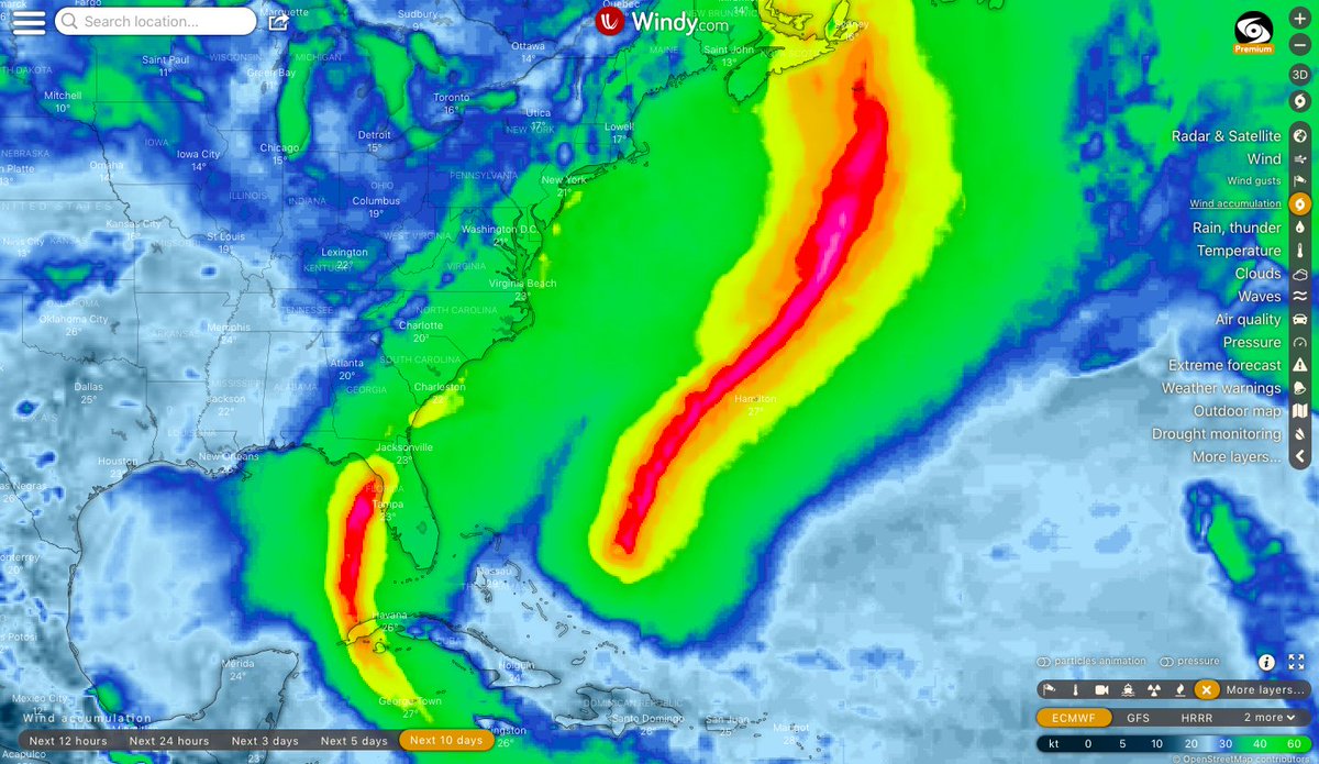
Well the ECMWF just wants to see the world burn lol. Two swathes of #category5 gusts in the #atlantic as the #hurricaneseason rolls through its peak. The right swathe is from #hurricanefiona and the left swathe is from what will become on #98L.
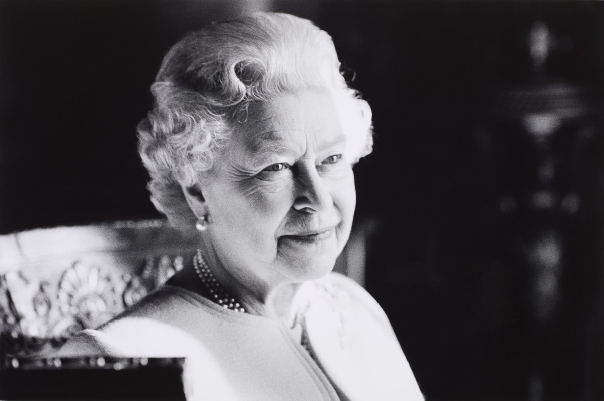
The Queen died peacefully at Balmoral this afternoon.
The King and The Queen Consort will remain at Balmoral this evening and will return to London tomorrow.
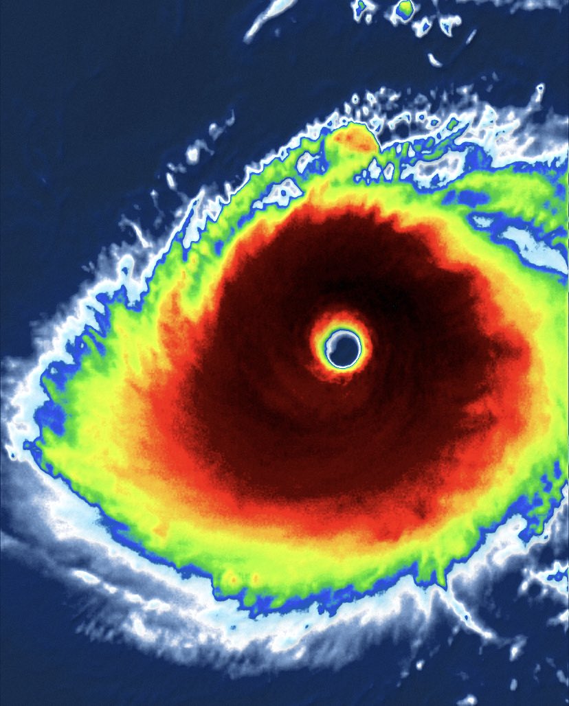
Well… looks like we are about to see a #category5 out of #typhoon#Hinnamnor. #TyphoonHinnamnor will continue strengthening, coming out of a successful EWRC, and could scrape a peak of 180mph. Stay safe out there.
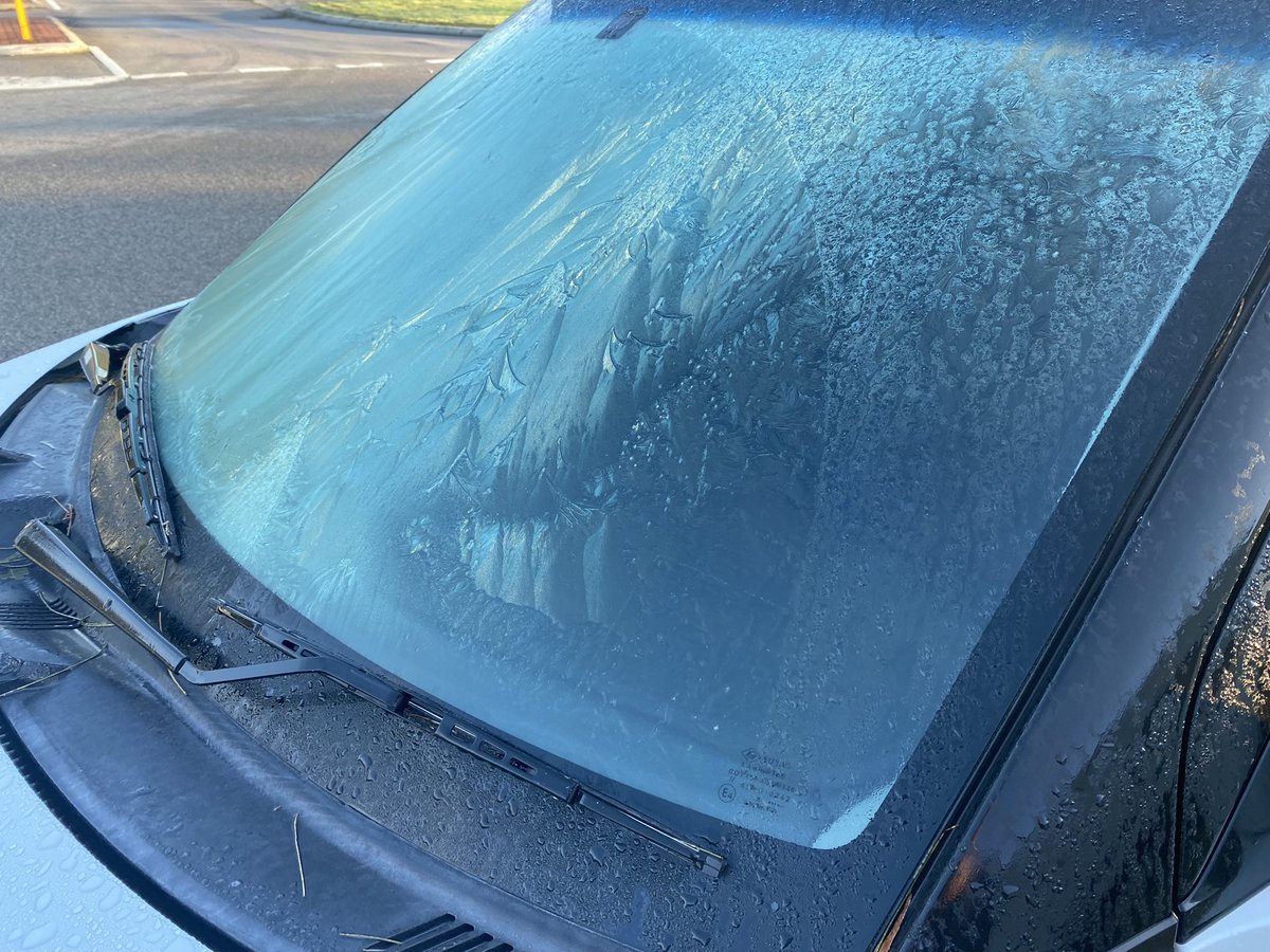
Freezing morning in #Perth! The southern suburbs likely fell below 0, with ice materialising on car windshields this morning and persisting into mid morning. Weather Station dropped to -0.7C. @7NewsPerth @9NewsPerth@abcperth
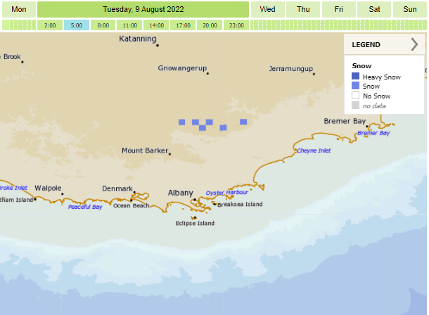
❄️ SNOW FORECAST ❄️
The airmass behind today's cold front is looking cold enough for us to get a dusting of #snow on the #StirlingRanges tomorrow morning! Do take care if you're planning on heading up #BluffKnoll, and let us know if you see anything! https://t.co/H8eX6mAx7D
The GFS really hyping things up in the Western Hemisphere, with what looks like four #tropicalstorms and two #hurricanes (one of which is #celia) over the next ten days. Please note this is wind accumulation courtesy of @Windycom