🌕🗳️ Ballon d’Or voting now closed and one of the biggest races ever to win it will finish on October 26th.
Who’s your winner? 👀
Download the @BetwayScores app: https://t.co/LRiiMkIKTc ⚽️📲
🚨 Real Madrid have started José Mourinho operation with direct contacts now taking place.
Benfica want Mou to stay at all costs but aware of Real talks ongoing; it depends on Madrid.
Up to Florentino Pérez: he will decide if Mourinho returns or not.
🎥 https://t.co/J6yTl9JBcd
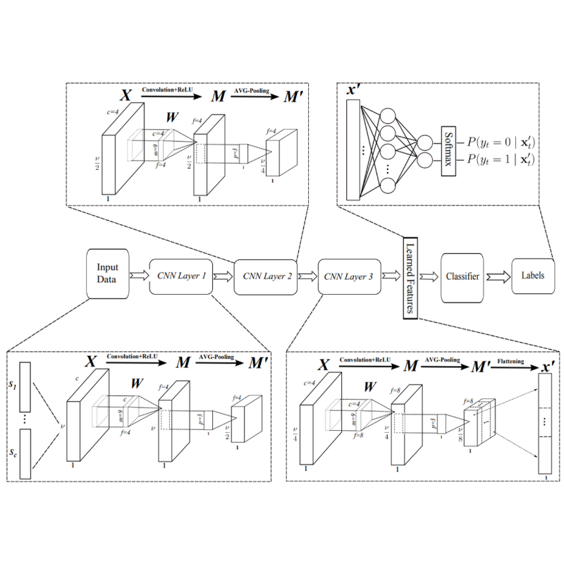
Click below to discover a curated range of highly cited articles published in @RemoteSens_MDPI. 👇
Remote Sensing (ISSN 2072-4292) publishes regular research papers, reviews, technical notes and communications covering all aspects of remote sensing scienceClick below to discover a curated range of highly cited articles published in @RemoteSens_MDPI. 👇
Remote Sensing (ISSN 2072-4292) publishes regular research papers, reviews, technical notes and communications covering all aspects of remote sensing scienceClick below to discover a curated range of highly cited articles published in @RemoteSens_MDPI. 👇
Remote Sensing (ISSN 2072-4292) publishes regular research papers, reviews, technical notes and communications covering all aspects of remote sensing scienceClick below to discover a curated range of highly cited articles published in @RemoteSens_MDPI. 👇
Remote Sensing (ISSN 2072-4292) publishes regular research papers, reviews, technical notes and communications covering all aspects of remote sensing scienceClick below to discover a curated range of highly cited articles published in @RemoteSens_MDPI. 👇
Remote Sensing (ISSN 2072-4292) publishes regular research papers, reviews, technical notes and communications covering all aspects of remote sensing scienceClick below to discover a curated range of highly cited articles published in @RemoteSens_MDPI. 👇
Remote Sensing (ISSN 2072-4292) publishes regular research papers, reviews, technical notes and communications covering all aspects of remote sensing science.
🚀 GeoAI Tutorial 21: Training a Segmentation Model for Water Detection from Satellite Imagery — with Just One Line of Code 🛰️
In this tutorial, I demonstrate how to train a deep learning segmentation model to detect water bodies using satellite imagery. While previous tutorials focused on geospatial raster formats like GeoTIFF, this one adds support for non-georeferenced images such as JPG and PNG — making it even easier to apply to your own datasets!
🔗 Tutorial video: https://t.co/HnX56KQvbF
📓 Interactive notebook: https://t.co/LREikVUGGU
💻 GitHub repo: https://t.co/TBxio7GvtY
📚 Documentation: https://t.co/0w6i7oyBxN
🎥 Full playlist: https://t.co/XbFm1TUqaa
#GeoAI #geospatial #AI #Python #DeepLearning
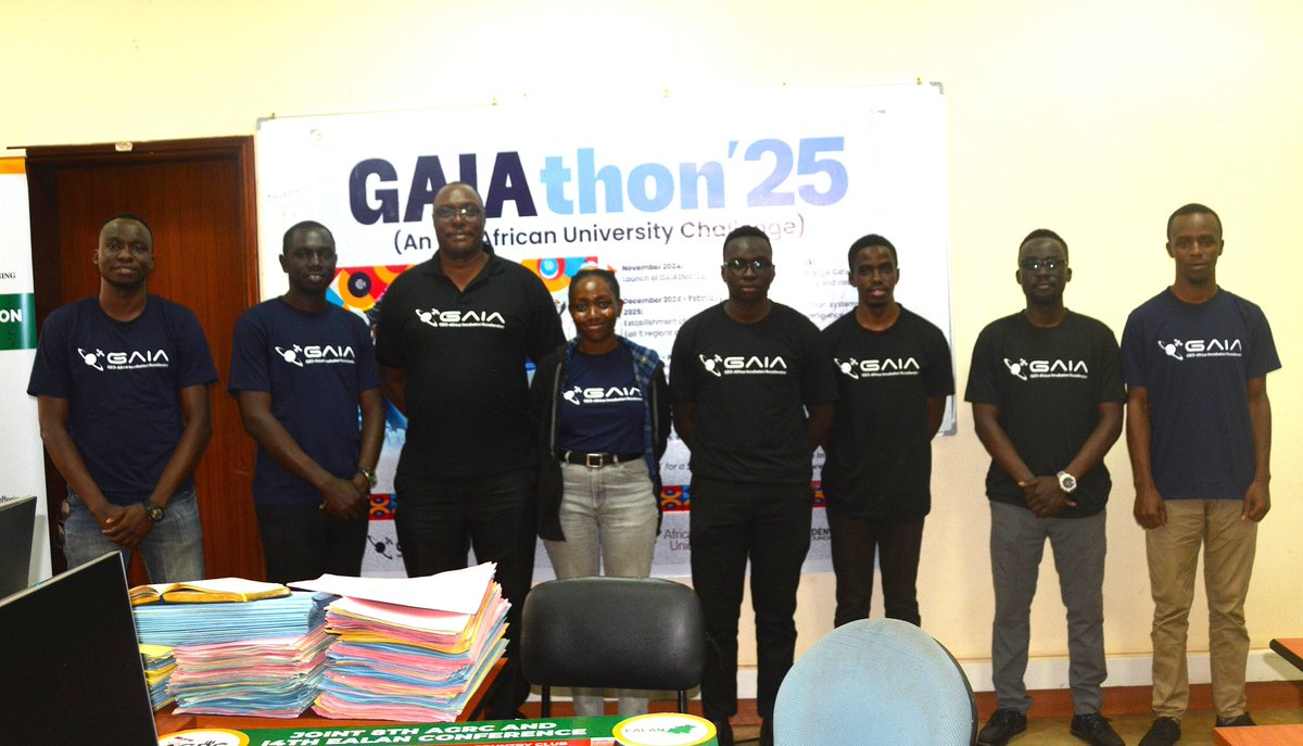
Next Generation Green Minds, a trio of GIS Master's Students at @MakCEDAT won the GIATHON 2025. They earn a slot in the Ghana Africa-wide competition from July 18–21, to show case their smart Internet of Things irrigation platform to boost crop yields and conserve water.
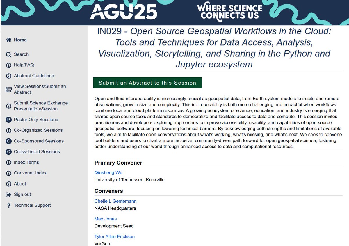
📣 Call for Submissions: AGU Session on "Open Source Geospatial Workflows in the Cloud" 🌍
We invite you to submit your work to our exciting AGU session focused on the innovative use of open-source geospatial workflows in cloud environments. Join us in exploring cutting-edge practices and tools that are shaping the future of geospatial data.
Submit here: https://t.co/vqPoGdb94W
Session convener: Chelle Gentemann, Max Jones, Tyler Erickson, Matt Fisher, Fernando Pérez
#geospatial #opensource #datavisualization #AGU25
🎉 I just got my author copy of my book from Amazon! While the front cover wasn't trimmed perfectly, the printing quality is very good. I am impressed 👍
📘 Grab your copy here: https://t.co/V0KoXb73OS
Prefer digital? The PDF version is available on Leanpub: https://t.co/lr2wwsPKFN
Book website: https://t.co/CQa04Uiart
#geospatial #python
IGAD is offering 3-month internships for 14 young professionals passionate about gender equality and regional integration!
📍 Location: IGAD offices in your home country
🕒 Duration: 3 months
📅 Deadline: April 30, 2025
🧑🎓 Who can apply? Emerging leaders ready to grow and make impact
✨ What’s in it for you?
✅ Hands-on experience
✅ Professional development & mentorship
✅ Support meaningful programs on gender & integration
✉️ How to apply:
Send your Cover Letter, CV, academic documents, ID/passport copy + 3 referees to: [email protected]
Subject: IGAD-INTERNSHIP
🔗 Learn more: https://t.co/2UCqZ8EpKK
GIS consulting is more than just maps and applications.
You're not just a developer - you collect data, develop, deploy, train, maintain and ensure systems run seamlessly.
It’s a mix of:
- Tech
- Strategy and
- Problem-solving
Here are some key skills you need to master:
- Geospatial development – Build and customize GIS applications (Programming languages, libraries and web GIS frameworks)
- Spatial data management – Handle databases like PostGIS and optimize spatial queries for performance.
- System deployment and cloud GIS - Set up GIS servers (GeoServer), manage cloud-based GIS (AWS, Azure), and ensure scalability.
- Remote sensing and image analysis - Process satellite data, apply machine learning to raster analysis, and extract insights.
- GIS automation & scripting – Automate workflows using code.
- API development & integration – Build and integrate GIS APIs to enhance interoperability with other systems.
- Spatial analysis & modeling – Perform advanced geospatial analytics, network analysis, and predictive modeling.
- Training & user support – Communicate complex GIS concepts, create documentation, and conduct user training.
- Project management – Plan, execute, and maintain GIS solutions while managing client expectations and deliverables.
A GIS consultant wears many hats.