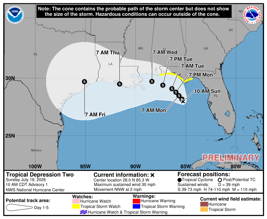
First cone issued for soon to be #bertha. Winds are forecasted to peak at 60mph as of now and is likely to pass over, or just offshore southern Louisiana at that intensity but could possibly reach hurricane strength if it does manage to stay offshore
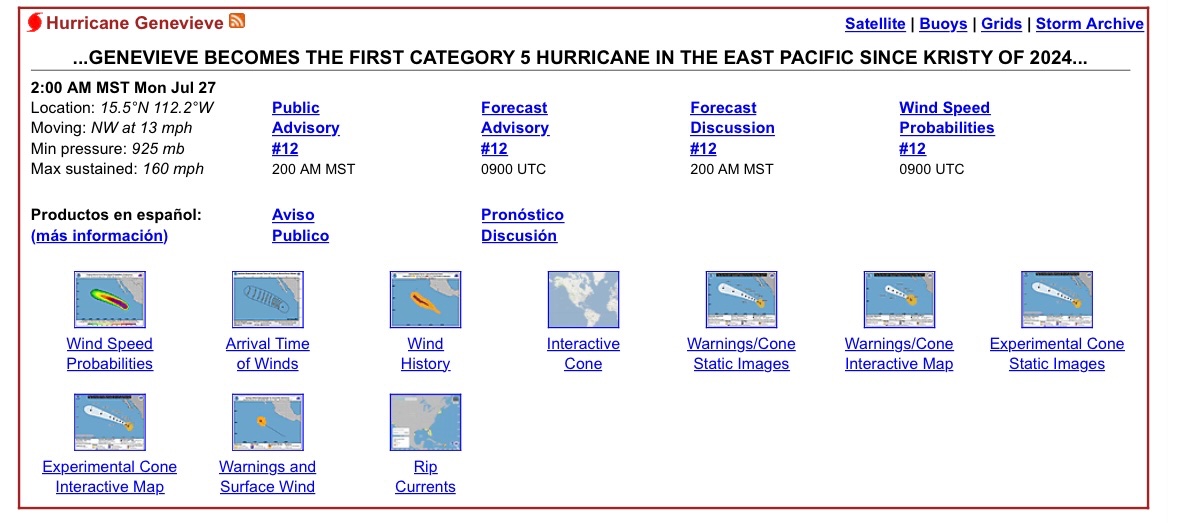
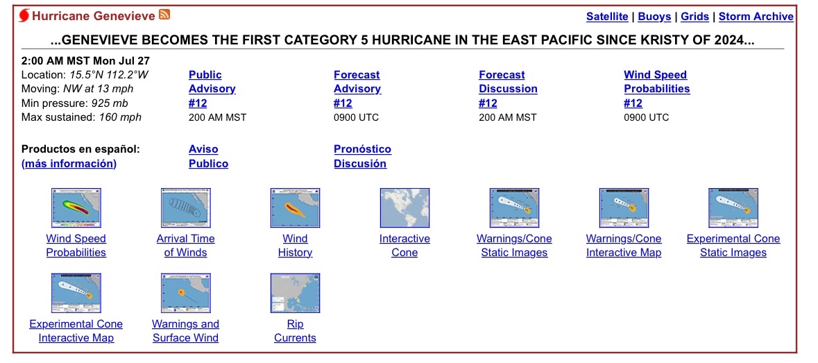
#BREAKING: Hurricane #GENEVIEVE is now a Category 5 Hurricane with sustained winds of 160mph per the 5:00 AM EDT update from the NHC. The storm poses no threat to land and is the first category 5 hurricane in the Eastern Pacific since 2024.
We will have a few rare Pacific recon missions flown by the Hurricane Hunters that will fly into Hurricane Fausto through at least tomorrow due to its eventual close proximity to Hawaii, likely as a weakening tropical storm.
@phillywxguy_ It indeed is! I’m in Verona currently and the storm is in between Venice and where I am currently. I was in Venice a few days ago! It’s a nice place ngl.
⚠️A scary-looking image may generate more clicks, but it does not always provide the best picture of expected impacts. Look beyond the colors and focus on trusted forecasts, official advisories and the specific hazards expected for your location. https://t.co/aysCB7rOQx
@bradbesial@ItsRobWX It is forecasted to stay the same strength even though it is over land due to the storm still having some moisture access. Take Julia 2016 for example.
First cone issued for soon to be #bertha. Winds are forecasted to peak at 60mph as of now and is likely to pass over, or just offshore southern Louisiana at that intensity but could possibly reach hurricane strength if it does manage to stay offshore