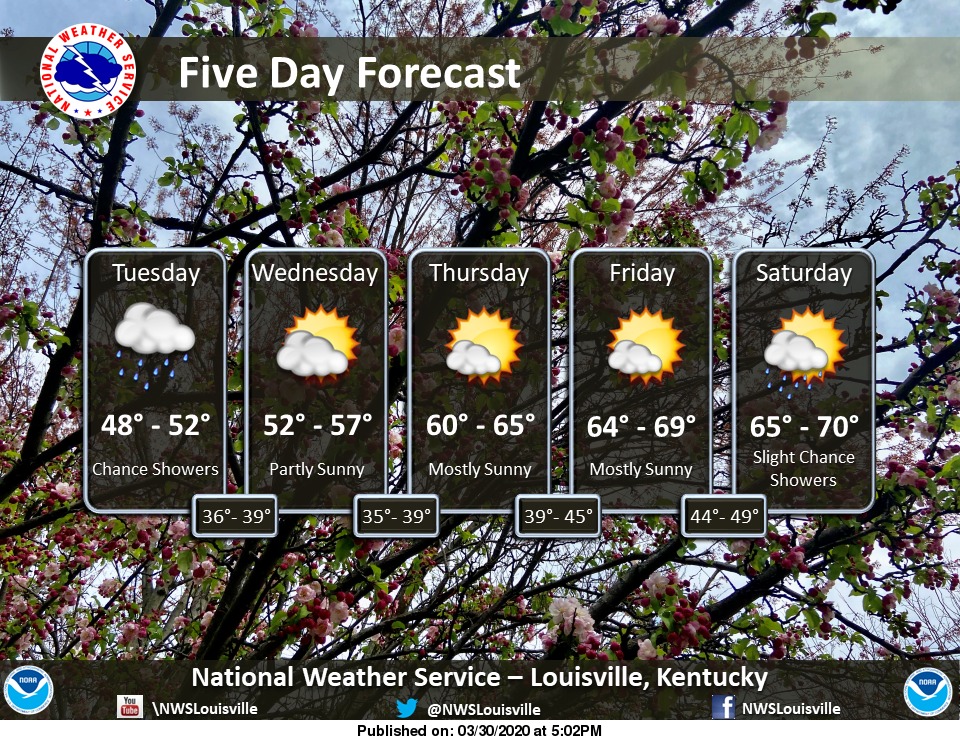
Showers and scattered storms will continue into the overnight hours, put gradually push eastward early tomorrow morning. Dry weather persists the next couple of days, though showers and storms look to return as early as Thursday night or Friday morning for some. #kywx#inwx
Light snow accumulations will be possible tonight through tomorrow morning. Highest snow totals will generally be in eastern Kentucky. Lesser snow amounts as you work your way west of I-65. #kywx#inwx
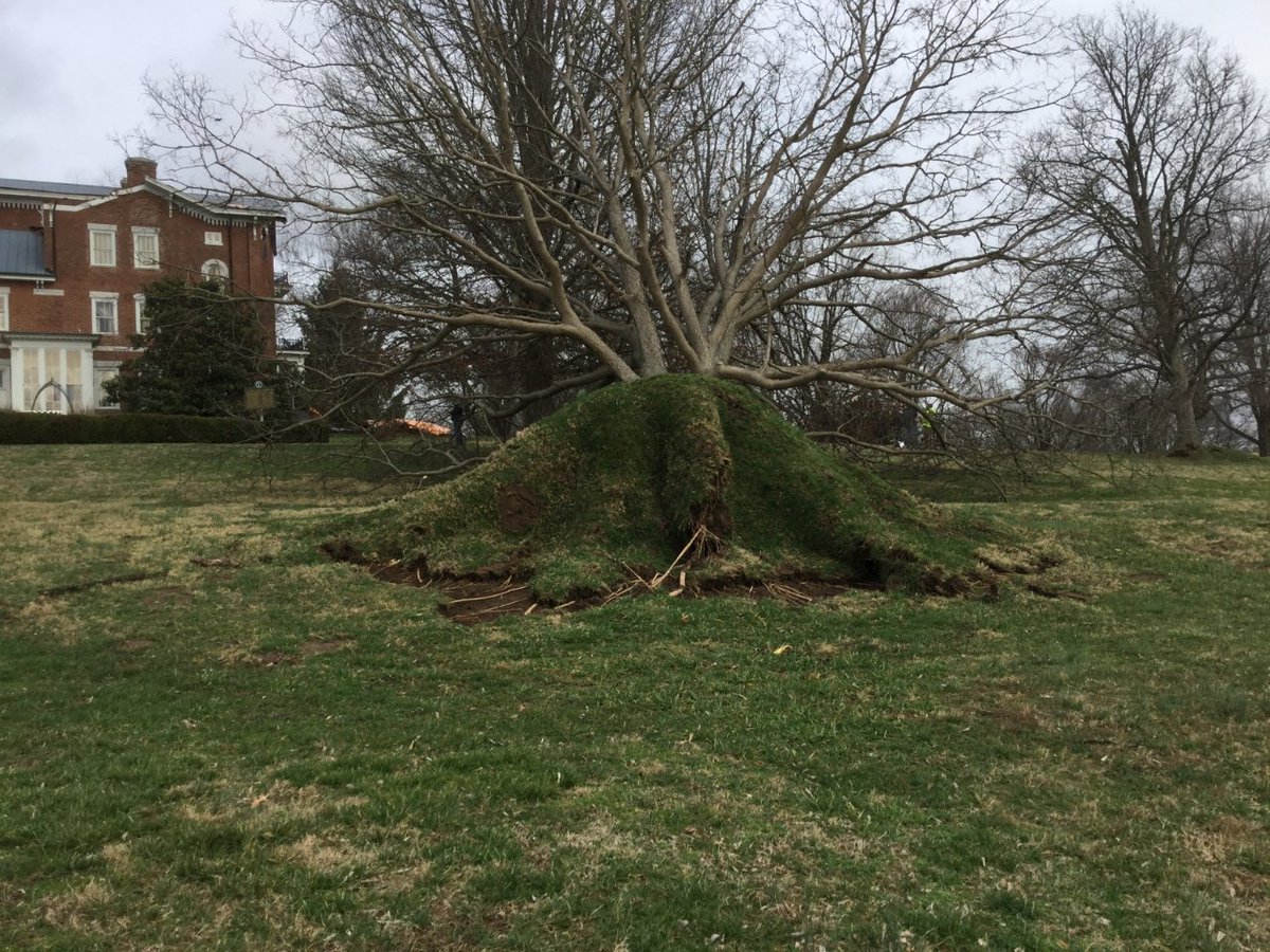
Preliminary NWS damage survey results for northern Madison and south Clark counties in Kentucky are straight line winds with max speeds 60-70 mph. This covers the White Hall Shrine Road and Boonesboro Road areas. Crews headed to Charlie Norris Road area now. #kywx