OSM community has mapped 1637 subdistricts. As of now, there are a total of 6,532 subdistricts, up from the 5,564 in the 2011 Census of India.
https://t.co/nGXK9ESFNU
https://t.co/CwHzn77qZk
Let's map buildings, roads and waterways to help the victims of floods and landslides in Southern Nepal and Northern India!
https://t.co/sKM2dkMjf3
https://t.co/uSv2L34KaY
https://t.co/Xwui5VBIEi
@suraiya95@pravesh Not essential at this point but licensing is an important issue in general. Especially if we want to push the open data movement.
We are sure those interested to use this data commercially, or otherwise, will do so nonetheless! Thanks!
Open #transit data for #Delhi is available! You can download the data by providing your contact info and purpose. Real time data needs an account.
Interestingly this has not been released under an open data license. Questions questions!
Open data platform for public transit in Delhi is live, with route and bus shelter details and live GPS of cluster buses. Many thanks to @IIITDelhi team led by @pravesh who made it for us! https://t.co/1Y5IJ8vYaz We will add DTC buses when the new GPS vendor is in place.
The OSM community from Indonesia has made a strong case for the use of @openstreetmap for disaster relief. From predictions to interagency cooperation, it is serving as a fundamental building block in the government's disaster relief and preparation efforts #sotmasia18
Lighting of the lamp is a tradition of India. But mapping is a tradition of the #SotMAsia. 💥 Here's Prof. Abhoy K Ojha mapping a data point of the IIMB campus on OpenStreetMap and kicking off the conference in style 😀🎉🎆 #SotMAsia18
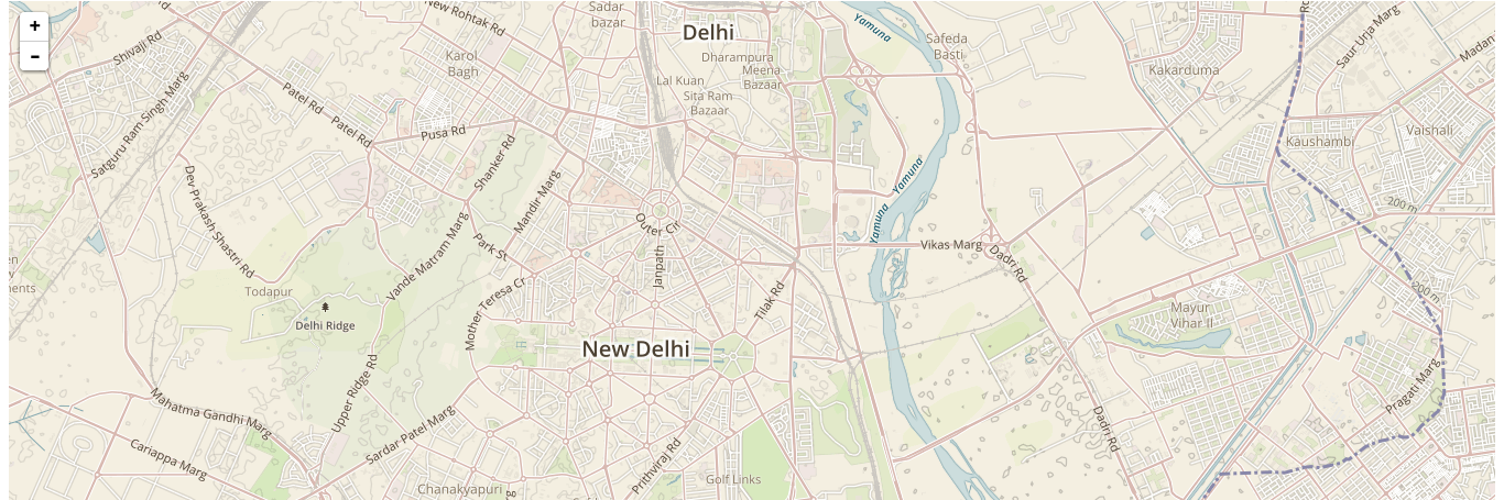
Ever wondered how a river is perceived by different communities & users? Mahima is all set to answer these questions through her talk on the relational geography of the river Yamuna in Delhi & how it is better to map it according to the community perception and use! #sotmasia18
Lets host mapping events at colleges, community centers and other institutions to map places around the globe. !!!
Let us celebrate GIS day on Nov 14 !!!
https://t.co/4JgHbDUznj
@isro@GeoDelhi@GeoHyderabad @geoawesomeness @geoworldmedia
All those POI's we went around collecting are now up on @openstreetmap :) looks nice!
We used OsmAnd, https://t.co/x7PwYmr9Gy, OSM contributor apps to do this. Next time, field papers!
@SotmAsia