Setting up a new Koordinates site couldn’t be simpler. Configuration is user-friendly and needs zero technical skills. No IT or infrastructure required.
Check out the video below for a quick tour of the site settings UI:
1/ Make the site your own with logos and corporate colours
2/ Configure your site to be publicly accessible or totally private
3/ Add custom navigation menus to guide your users
4/ Create data categories and custom licences
Want to know more? We have 3 webinars running this week.
EMEA: Tuesday, 3rd September, 2024 at 9.00AM BST
Register here --> https://t.co/aK4Do6y2pM
Americas: Wednesday, 4th September, 2024 at 2.00PM PDT
Register here --> https://t.co/UIGWF6jZFm
APAC: Friday, 6th September, 2024 at 1.00PM NZST/11.00AM AEST
Register here --> https://t.co/ImLvsAqLlO
All welcome!
Building a Shared Map Viewer is ridiculously easy. Using Koordinates, you can quickly build a map from your data and share it with anyone you need in minutes.
1/ Add the layers you want
2/ Style the layers (using simple or professional tools)
3/ Pick a title and map settings (2D/3D, etc)
4/ Choose who you want to share it with
5/ All done.
Share a permanent link to the full-screen map, or let your site users find your collection of Shared Map Viewers in the Data Browser.
Create unlimited maps and share with unlimited users on the Business Cloud and Enterprise Cloud Plans.
Follow us for more updates or reach out to schedule a demo.
Introducing new Shared Map Viewers:
Web maps are powerful communication tools and have quickly become vital to sharing and exploring geospatial data. Although the industry’s tools have improved, technical know-how, licences, and hosting can still create barriers to wider use and rapid delivery.
Koordinates new Shared Map Viewer solves this by making it simple to create and share maps for users of all skill levels - with no limits or IT required.
Our Shared Map Viewers -
1/ Let you craft, save and share fast, immersive 3D maps built from your data.
2/ Update your shared map with new data or styling; users will see the changes immediately.
3/ Control access. Share with everyone, your team, or keep it private.
4/ Share sets of data, letting users export all or some of the data with a click or two.
5/ Shared Map Viewers appear in the Koordinates data browser, similar to any layer, letting you build your own collection of useful maps.
Available to Business Cloud and Enterprise Cloud customers. Reach out if you would like a demo.
Esri is the world’s #1 GIS platform, but scaling up Esri REST services quickly becomes expensive and people-heavy.
Koordinates makes it easier and more cost-effective to scale your use of Esri-compatible REST services and is included as part of all new Business Cloud and Enterprise Cloud plans. No IT required. No allocating GIS analysts into GIS IT.
Business Cloud and Enterprise Cloud subscribers can now:
- Manage vector data in Koordinates Cloud for the Esri platform
- Automatically deploy Esri-compatible REST endpoints, scalable from tiny to massive datasets
- Share vector data securely into the Esri ecosystem without utilising named users, including support for webmap building
You can check out Koordinates' Esri-compatible REST services in the short video below.
@giswqs Neat! Have you tried incorporating 2 elevation services/layers within ML4? Either a terra and bathy or 2 terra of differing resolutions? I guess building a single custom layer would be the most logical, but I'm imagining a situation where I need to combine 2 third-party services.
Does your team have trouble cost-effectively scaling your Esri REST services?
Join our upcoming webinar to learn about Esri-compatible REST services in Koordinates Cloud.
With Koordinates, teams can now scale their GIS without worrying about massively escalating licensing costs or performance.
We'll cover:
1/ How to use Esri REST endpoints from Koordinates to get data into your GIS
2/ How Koordinates interoperates with Esri environments.
3/ Koordinates’ licensing structure and how this compares to alternatives.
4/ How to load data into Koordinates, how to manage data in the cloud, and how to style and distribute data as a webmap.
5/ How users can find and interact with data in the Koordinates data portal.
New Zealand / Australia / APAC is on Wednesday, 26 June at 3.00PM NZDT and 1.00PM AEDT
Sign up here —> https://t.co/UvW3uAwg2r
America is on Wednesday, 26 June at 4.00PM CDT
Sign up here —> https://t.co/xO94ir2N59
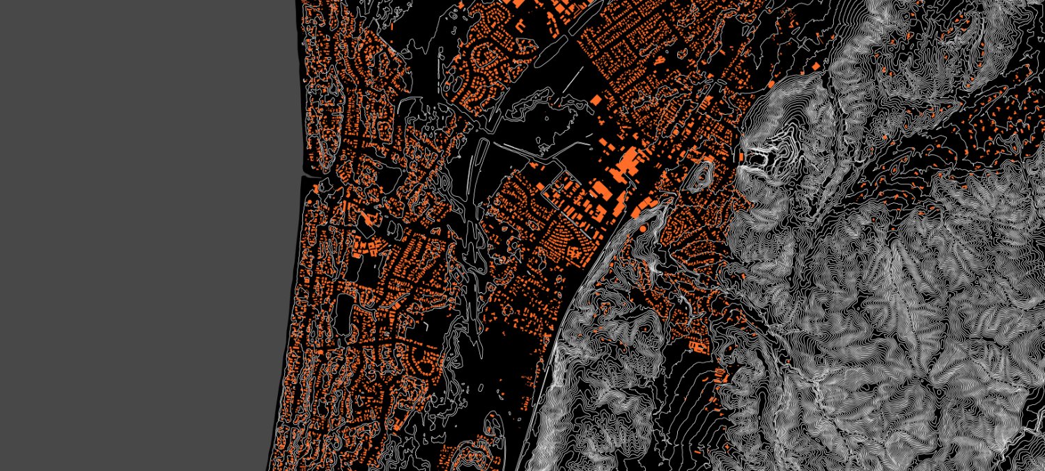
Check out the first section of Hawke’s Bay #LiDAR captured under the North Island Weather Event (NIWE) project. The DEM, DSM and PC are all available on the LINZ Data Service https://t.co/RFf17vD4jW #OpenData (Image: Napier CBD colorised PC) Thanks to Hawke's Bay Regional Council
I'm often the person behind these feature videos, and this feature has been huge for me. Although simple, being able to change layer colours quickly means I can get that 80% value for 20% effort. Combining custom colours and shared Map Viewers will make sharing web maps a breeze.
The beautiful thing about cartography is the unique mix of art and science. At Koordinates, we handle both.
We all know that maps need to be precise to do their job, which is why we solve the problem of authoritative data distribution. You can’t generate better maps without accurate, up-to-date data.
But great maps also need to communicate with their audience. Cartographers make important creative decisions to help their audience effectively engage with their maps.
This is why we’ve built out an increasing number of cartographic controls into the Koordinates Map Viewer. At its most simple, every vector layer can be assigned a custom colour and transparency with a click or two, allowing all users to build their own maps. For more complex layer styling, we also support custom tile sets per layer using CartoCSS.
Coming soon to Koordinates: Shared Map Viewers that change how you view, share and explore data.
Here is what you need to know:
1/ Maps on Koordinates can now be saved and shared publicly, with a group, or via a URL, just like datasets. Shared Maps have a static URL that can be published (and won’t change!)
2/ Shared maps can be found as a datatype in the Koordinates data browser. This means your saved maps can be easily discovered by colleagues and collaborators.
3/ Koordinates supports a growing range of styling and cartographic options, including customisable 3D settings.
4/ Shared Maps open in immersive, clean, full-browser map mode.
5/ And — as you might have guessed — data in a map viewer can be easily exported in any projection or format (including DWG).
Check out the video below to see how they work.
Could this change how you deliver and share your geospatial data with teams, stakeholders or the public? Get in touch for an advanced preview.
Exciting update: Koordinates will soon offer Esri REST services for geospatial data.
This means that data stored in Koordinates can be used via Esri REST Map and Feature services — immediately and at scale.
Your colleagues, collaborators, or wider Esri user base can start getting much more value from your geospatial data, without any licensing worries or IT blockers.
Of course, this complements our existing range of APIs and web services, including the Koordinates Query API, OGC WFS and WMTS.
Could this change how you deliver and share your geospatial data with teams, stakeholders or the public? Get in touch for an advanced preview!
I'm super excited to have taken this bid so far.
Simon has done an incredible job with the preparation and now it's up to the OSGeo conference committee to make a difficult decision!
To get the most value from geospatial data, you need three things:
1/ A 3D map viewer that supports the visualisation of vector, raster, grid, and point cloud data.
This needs to be usable by everyone, not just GIS professionals. The data should be easily queried with a click and have customisable styling. And anyone should be able to make and share a map of the data for their own projects.
2/ An export service that supports a broad range of formats and projections.
It’s wild to think that some people still share data via generic file-sharing services like Dropbox or only provide links to a single format and projection. It’s 2024 — we need to stop outsourcing this to our end users. It’s extremely inefficient. And there’s a better way.
With Koordinates, you can crop data to your chosen extent, export multiple datasets at a time, choose the projection you need and pick your format (including DWG).
3/ Services to get data directly into GIS (or other) software.
We’ll talk more about this in future posts, but GIS professionals need to get data from where it’s stored into their software without exporting it each and every time. That’s why we support OGC web services, cloning and — coming soon — ArcGIS REST services.
Although Point Cloud data is complex and difficult to share, we have simplified the landscape. We are very close to allowing users of all skill levels to find, view, and explore point cloud data while also helping professionals export data as DWG & LAZ.
Exciting news: Soon, you’ll be able to view and explore point clouds in Koordinates Map Viewer, before exporting as DWG (and other formats).
Why did we build this? Businesses are collecting an enormous amount of highly valuable point cloud data. The problem is that they struggle to distribute it in the format, projection, and extent users actually want.
After all, GIS systems aren’t built for sharing point cloud data, and generic file-sharing software doesn’t support geospatial preview and translation.
With Koordinates, point cloud data can be stored, viewed, managed, and shared alongside other geospatial data. This means users can visualise and explore point cloud data in the browser, right next to aerial imagery and vector data.
We’ll be launching this feature soon — but if you want early access, get in touch for a demo.