Governments pooling technical talent to collaborate on projects with reproducible, impactful results, saving time and money. 🌆 Join the USS/HMS Friendship!🌅⛵️
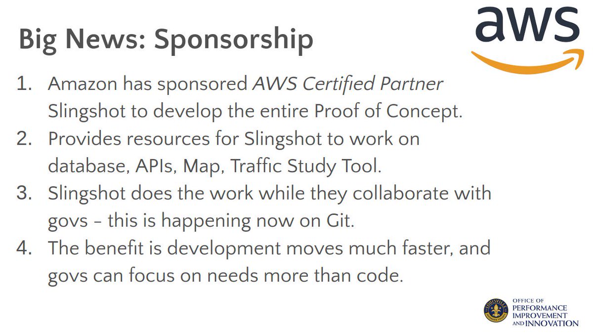
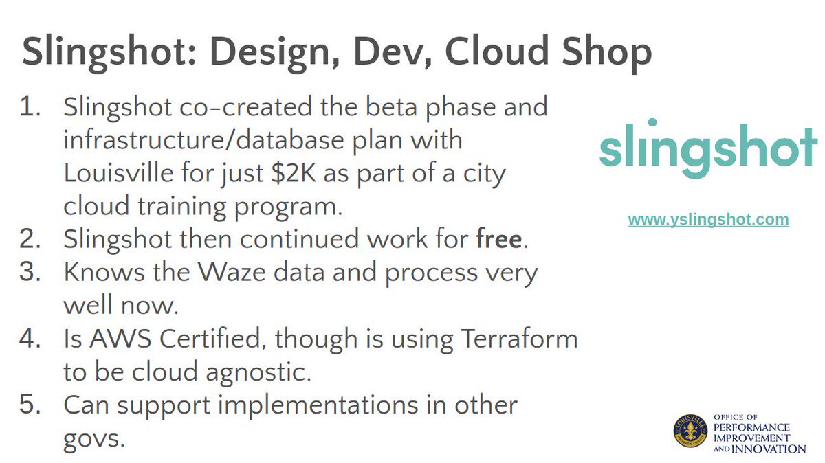
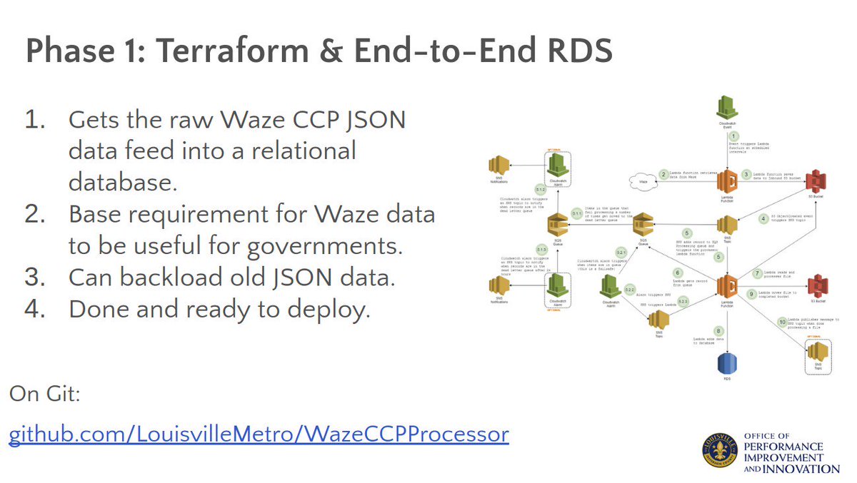
Today, govs collaboratively launched our open source, end-to-end data processor and cloud database for @waze CCP partners. @AWS_Gov funded development for @heyslingshot. @LouDataOfficer & @edblayney are project managing. Get the code here: https://t.co/9d7uuLmyE7
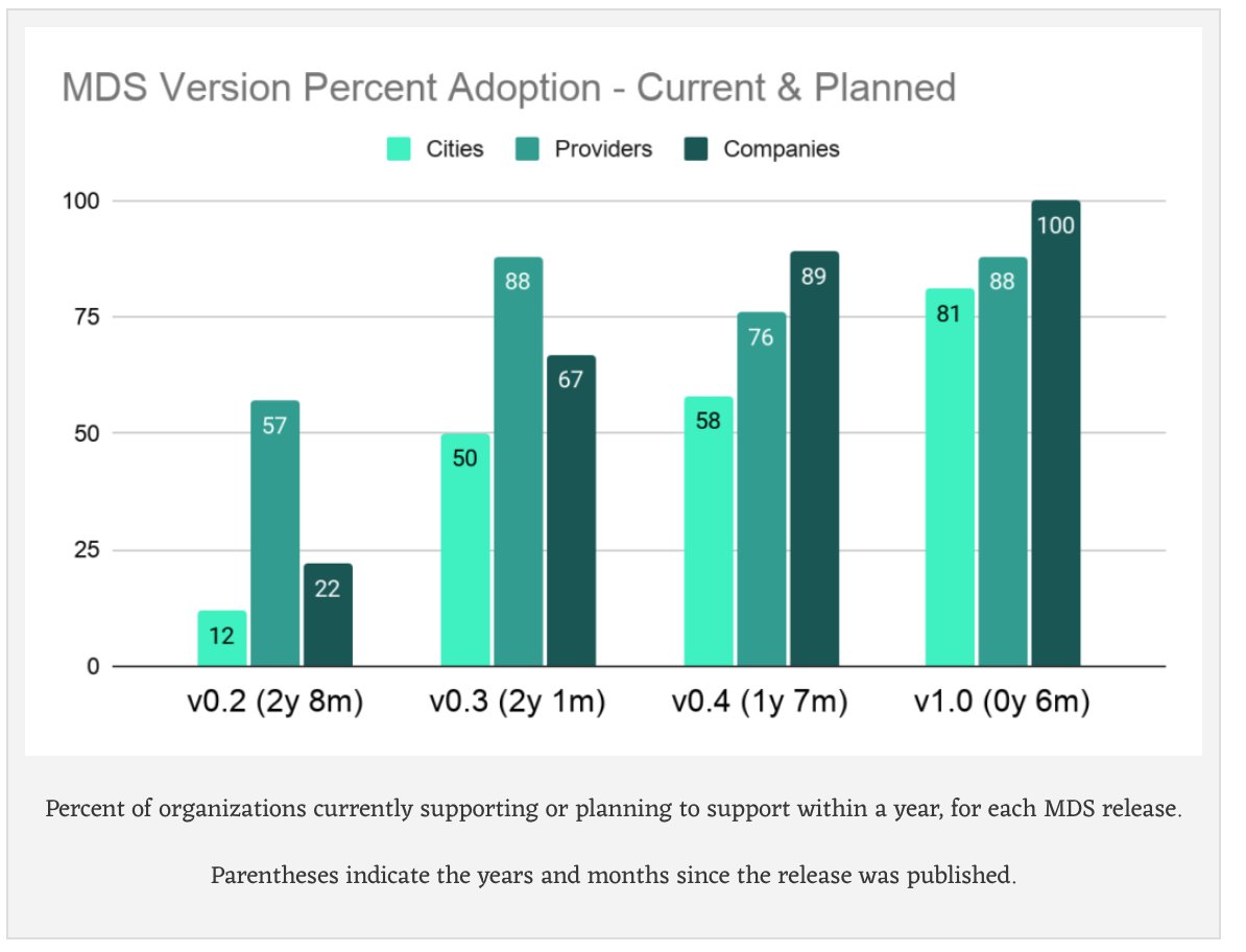
Dig into our summary of the first 'State of MDS' survey, live on the blog. 75 individuals across 60 organizations worldwide responded and shared how they use MDS, including many smaller cities. We are using the results to guide development, documentation, and workshops.
As CDO with @LouGovIT I was able to help build open source tools for cities with partners like @GovInTheOpen, @IFTTT, @Waze, @awscloud, @carto, and @heyslingshot, & this role with OMF will continue that work: building free tools to help cities manage the public right of way. 3/x
@joshsimmons Yes please join. It's been a bit quiet recently but I hope to pick up some momentum with an update to our Waze WARP and IFTTT Open Data projects.
https://t.co/iDiNJJzkae
@jtag Our organization works on open source projects for and managed by cities, and gets funding and support from private companies. One example is this Waze project mostly funded by Amazon: https://t.co/Pr2yZhc3hn
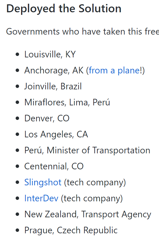
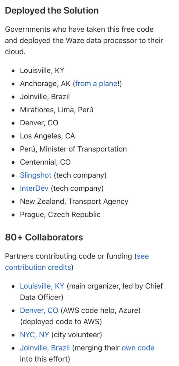
Are there any other cities that have deployed @Waze WARP from @GovInTheOpen that aren't listed here? Also you should totally deploy this project. https://t.co/kF7kpVhaeK @LouDataOfficer#CFASummit
@firebethfox @krues8dr We try to do this by building common tools in the open with multiple cities. Also has the benefit of reducing costs and creating free shared software for real solutions, and helps fund and promote the work from outside sources. It works!
As part of their article featuring Louisville’s success with Gold certification, @WhatWorksCities highlights the open source collaboration of @waze WARP and other OGC projects!
.@louisvillekygov built a platform to analyze #data from @waze & elsewhere to improve traffic & road safety. But it didn't stop there and shared the platform for other cities to use for free. 🚗🚌🚙
Check out our feature! 👉 https://t.co/eUsQV2OvBx
#CitiesWinWithData
Our Waze WARP open source @GovInTheOpen platform won the 2019 @IDC Smart Cities Award in Transportation! https://t.co/ZUQEK8nQcA
#IDCSmartCities19 illustrates best practice examples of urban innovation with a focus on the use of technology & data.
Info: https://t.co/evt3GG86AQ
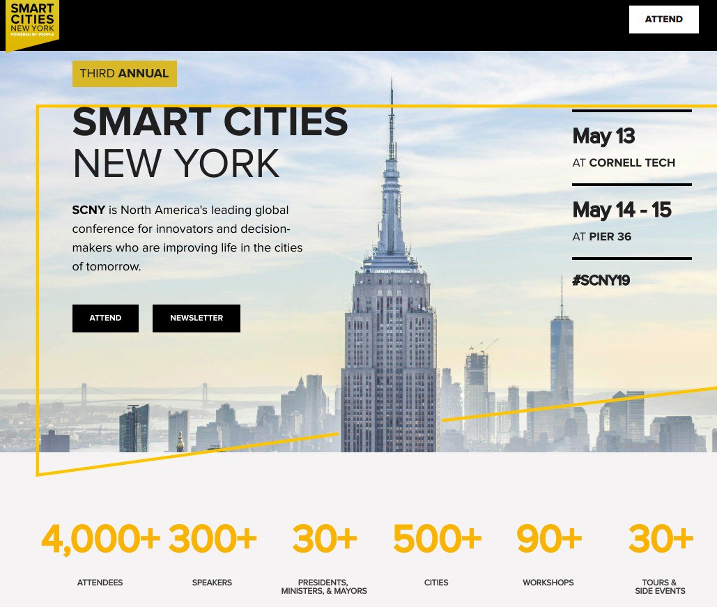
VOTE FOR US! Louisville is one of 3 Transportation finalists in @IDC's Smart Cities contest for our @Waze WARP + @GovInTheOpen work, saving us and other cities $100K's of dollars by building open source. Awards at #SCNY19. https://t.co/DVz9KvuMas #IDCSmartCities19#UrbanCatalysts
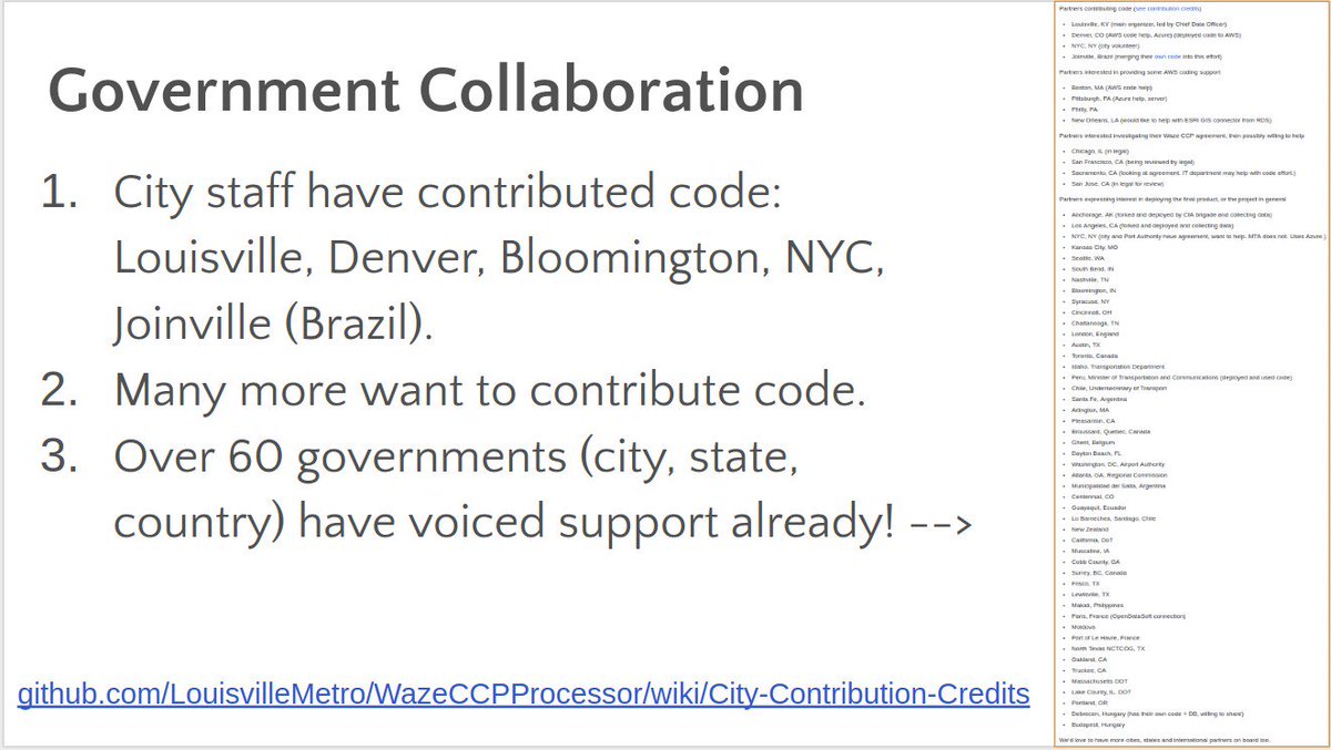
Cities like @austintexasgov@LADOTofficial @KansasCityEric @Sarasti@hunter_owens can collaborate on building these open source tools like cities did with @waze data warehouse, map, and APIs through @GovInTheOpen instead of building in silos w/ higher $. https://t.co/2OzJRKFHqU
If you haven’t heard - there are great things occurring in mobility in #Kentucky and right in #Louisville!
@LouDataOfficer and team have sparked an amazing open source tool that cities/countries around the world are leveraging and building upon.
https://t.co/wd24F973Wq
@pahlkadot@codeforamerica We in brigades and city gov have been releasing open source code for a while, with minimal reuse. I think if we 1) write it as infrastructure-as-code in the cloud it becomes a platform to build on and easy to redeploy ( see https://t.co/xoPEtjb6HB ) and 2)...
Amazing that @Carto created a connector built on top of our Waze WARP platform! It pulls in filtered historic mobility data for easy mapping and analysis. We are looking for feedback and ideas, so try it out: https://t.co/aVq74hmDEP