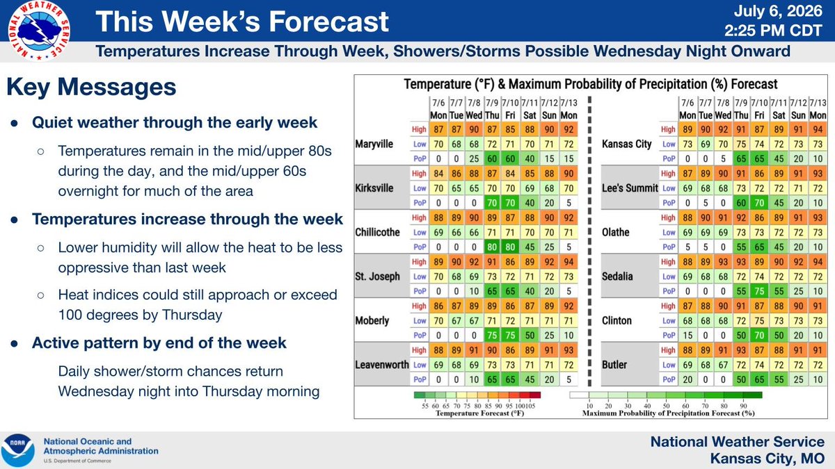
Highs will be in the mid-to-upper 80s over the next couple of days before temperatures are expected to climb through the week. Lower humidity will keep conditions from being too oppressive. Daily shower/storm chances return Wednesday night through the end of the week. #mowx#kswx
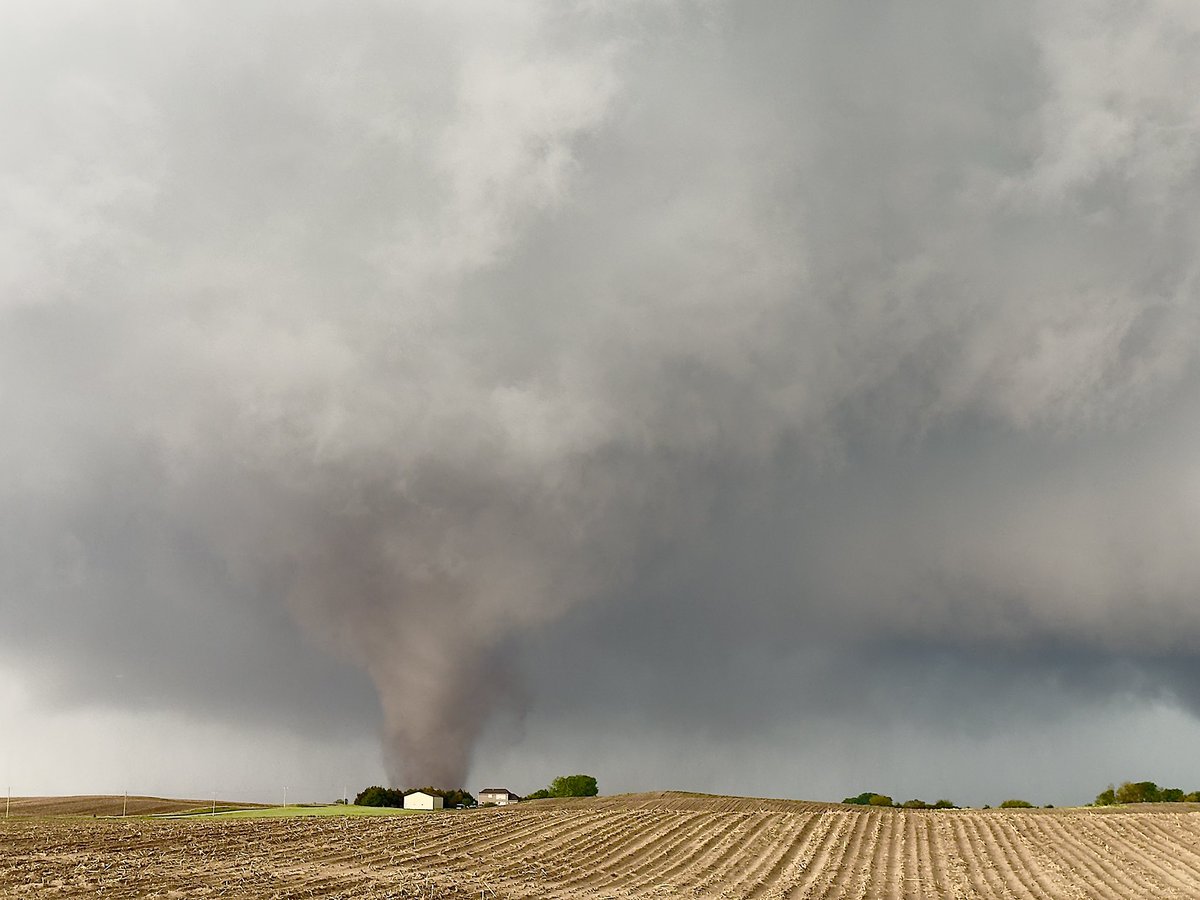
The tornado near St. Lobory, NE as it developed and full condensed. Second pic was a couple minutes before we bailed South as it directly approached our location.
May 4th is a big tornado anniversary day in KC...and elsewhere. More on that and the risk of some severe storms later this evening. Blog is linked in the 1st comment. JL @fox4kc#mowx#kswx#kcwx
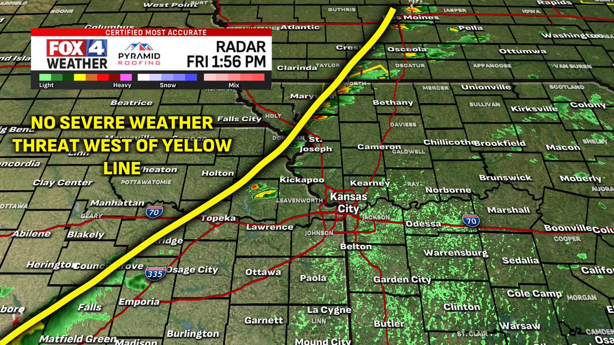
YES there will be another round of severe storms in Kansas City overnight, but probably not until after 1 AM. We get a several hour lull for now. ⛈️ Here is what radar could look like ~3 AM... wind, hail, & spin up tornado risk into early Monday morning. @fox4kc#KCwx#MOwx#KSwx
The first tornado ever photographed tore a 10-mile path through the Kansas countryside, damaging homes and barns and supposedly carried a man named David Metheney and his wagon through the air. He was injured but survived. 🌪️ https://t.co/cT3u0f6IRq
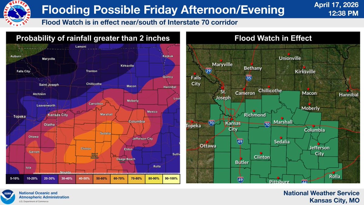
Storms will develop this afternoon, affecting much of the region through this evening. For areas near/south of the I-70 corridor, storms may train over the same areas for longer periods of time. Should this occur, localized flash flooding may occur. A flood watch is in effect.
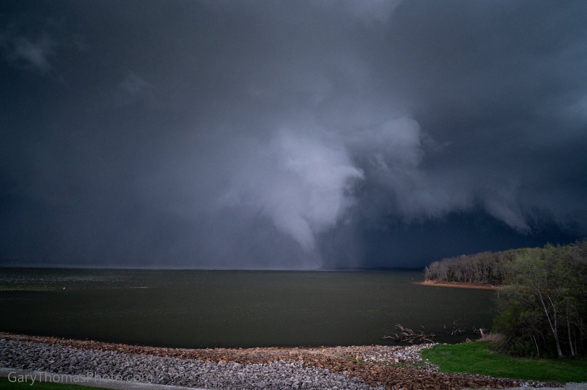
Just got confirmation of a rare Kansas waterspout. 👀🌪️ This one is of the supercell variety, but Monday’s Hillsdale EF-2 tornado looks to have actually started over Hillsdale Lake! Fantastic photo from Gary Thomas. @fox4kc@fox4wx#KSwx
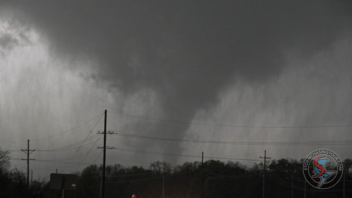
This was an image of the tornado developing yesterday evening before it moved into the town of Ottawa, Kansas. Video of this tornado can be found in the comments. #kswx#Ottawa#tornado
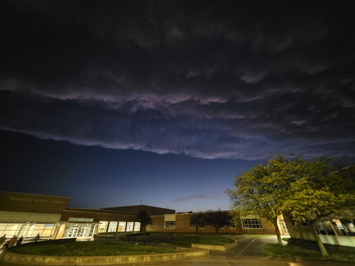
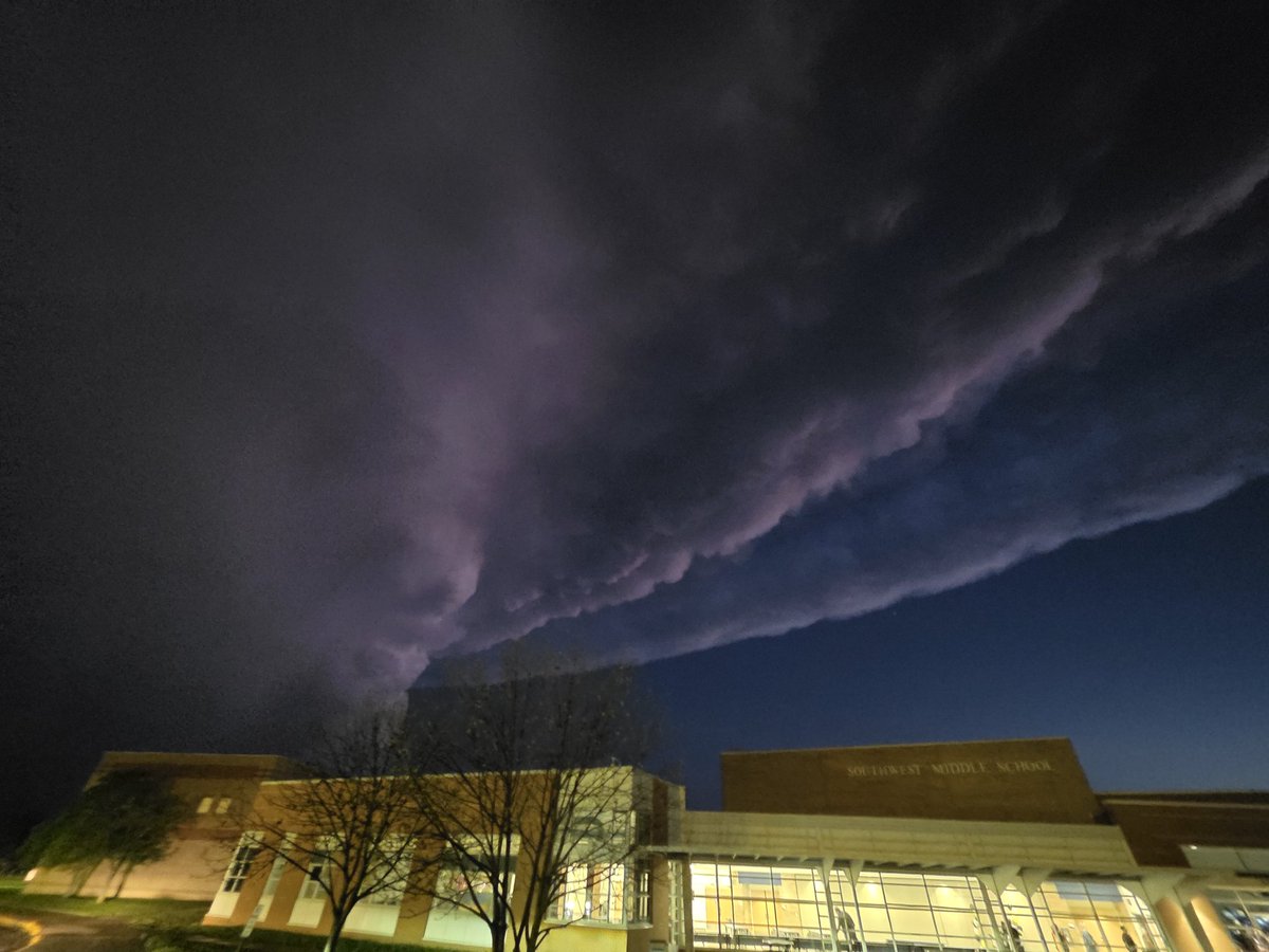
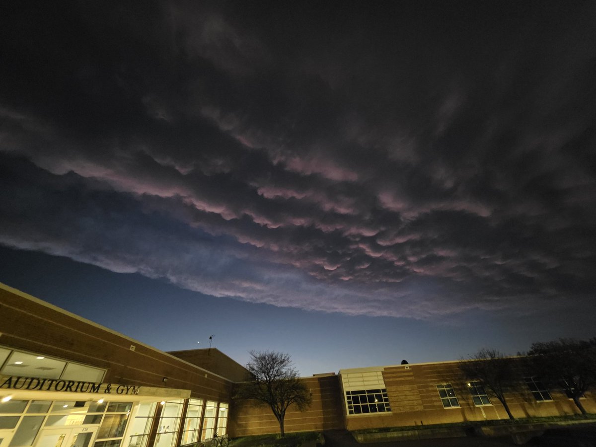
It just took these photos in Lawrence, Kansas, after the storm went south of the city. These photos are looking to the west, south and southeast. #kswx@fox4wx