How do fluids and fault heterogeneities affect earthquake rupture and ground shaking? Our paper on the Noto earthquake provides some information that could be useful in untangling the mystery (Ma et al. on this Science cover https://t.co/E5R3TJ6Wow).
The 2024 magnitude 7.5 Noto earthquake in Japan occurred on a fault system that has seen repeated seismic swarms since 2020. New research in Science deciphers the intense ground motion of the event.
Learn more in this week's issue: https://t.co/Z8r6LH4FtG
Please consider submitting to our AGU session:
T011 - Linking Tectonic Processes to Relative Sea Level Changes in Subduction Zones: Observations and Models Across Various Timescales
https://t.co/lRlmn18n3k
Abstracts are due in two weeks!
🚀 Exciting News! ctSent version 2.0 is released. P.S. finally had some time to package it up 🤪. I've added parallel computing for lightning speed and introduced burst overlap interferometry. 🌐✨ Check it out for a faster, more advanced experience!
https://t.co/kbm4CKZPKM
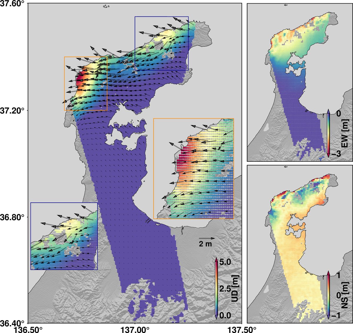
🆕Please find our newly updated 3D deformations. It is just a preliminary result with 1 km resolution. The higher resolution map is on the way. Deformations are well consistent with the reported coastal change. More to post ~
--@HLuo18@kmno4_deliang Shengji @Dr_Yu_Jiang and me
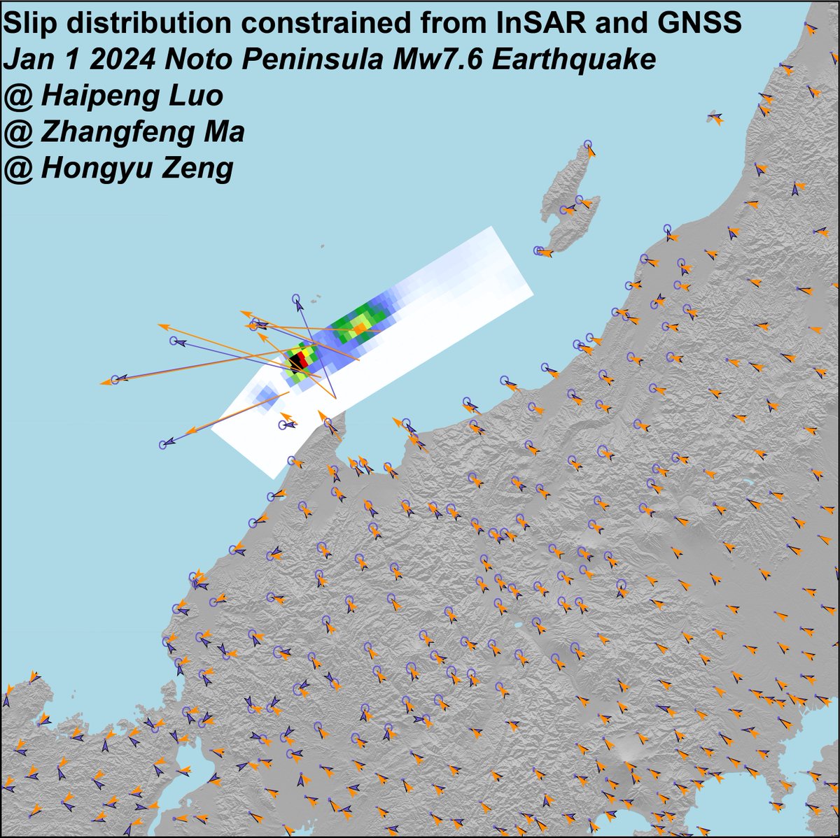
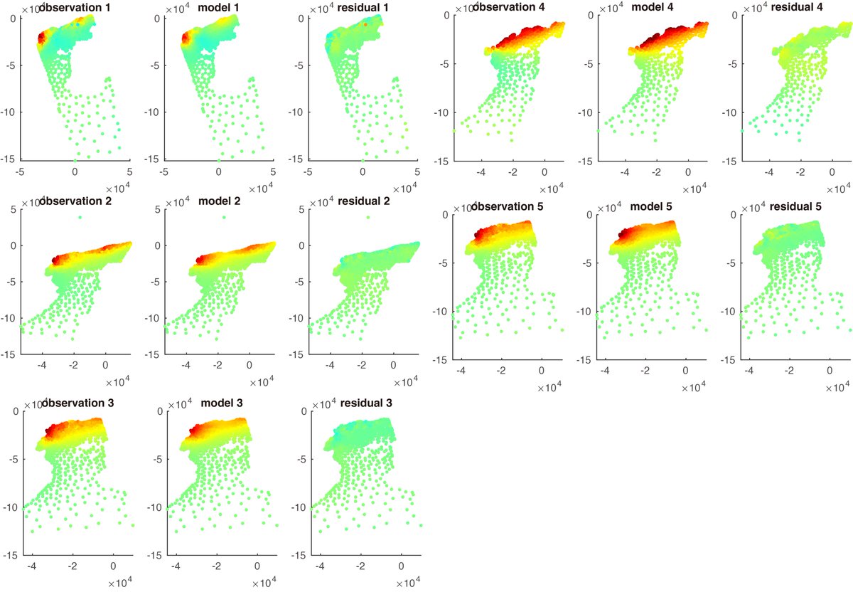
🆕Our (@MarsZeff@kmno4_deliang and me) preliminary slip distribution of this Mw 7.6 Noto earthquake, from joint inversion of InSAR and GNSS data. Seems 🤔 a good correlation with all geodetic data and BP results. More to post~
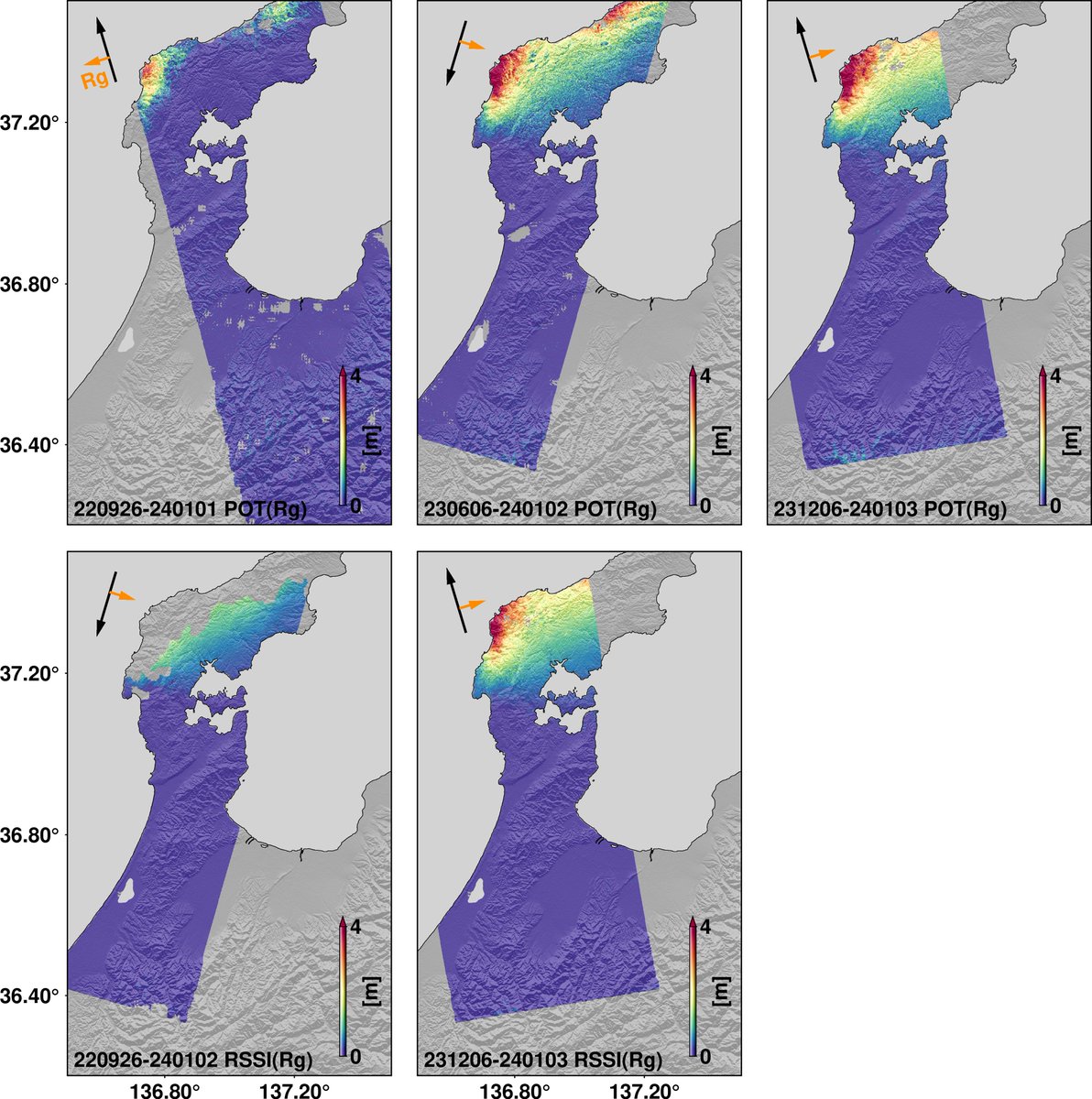
I just quickly processed InSAR displacements for this Mw7.6 earthquake. Please see the preliminary results below. From it, we can clearly see two large deformation asperties. These data can only cover region onshore, but what for the northern part offshore🤔?
@GengJianghui@arapks I just checked the location of TONG. It is located in the city... Is there anything unusual related to atmospheric influence that can be considered or be indicated in the GPS time series?
@GengJianghui@arapks It is interesting. The eruption occurred at ~04:15 while the large displacements at TONG started at ~04:30. The eruption itself seems to have generated limited movement at TONG. But what caused the time-series signals then.... Tsunami or some triggered seismicity?
In most regions, quake magnitudes follow a simple pattern: for every M8, there are ~10 M7s & ~100 M6s, etc. The PacNW (Cascadia) does not seem to fit the usual mold, with 1 M9 every 500-600 yrs on average, but not, so far as we can tell, ~10 M8s in that same span.
Congrats #UVic researchers Haipeng Luo and Kelin Wang @UVicScience for their published research this week in @NatureGeosci, studying internal structures of the subduction zone system. #Univresearch