Next week looks relatively wet for the southern US (monsoon in the Southwest) and drier for the Northern/Central Plains and Midwest.
Temps: Warmer than normal chances for almost all of the US except the Northeast and Alaska. https://t.co/HtSRAT6mRz @NOAA@NWS
#DroughtMonitor 7/7: Spotty precip led to very localized improvements and degradations. Many states saw both.
States w/ large degradations: OR, WY, CO, NC, SC
States w/ large improvements: ID, MT, KS, AR, NJ
#Drought2026 Footprint: 39.6% of the US
https://t.co/mljsjQE3B9 @NOAA
Has your state hit 100º yet this year? 🥵☀️ 35 of the 50 states have reached triple digits so far in 2026, and more could join the list as summer continues.
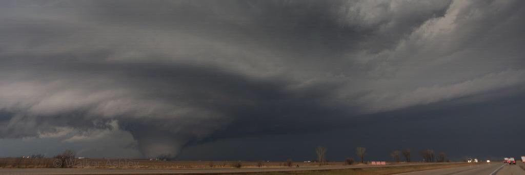
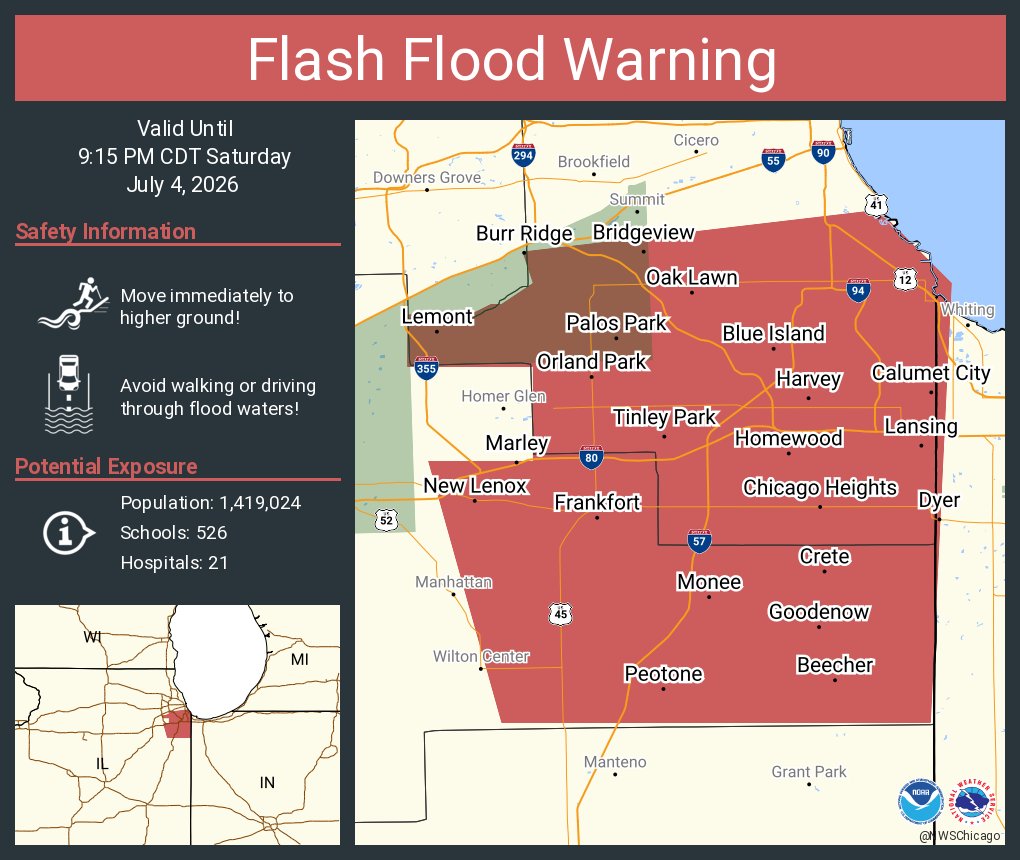
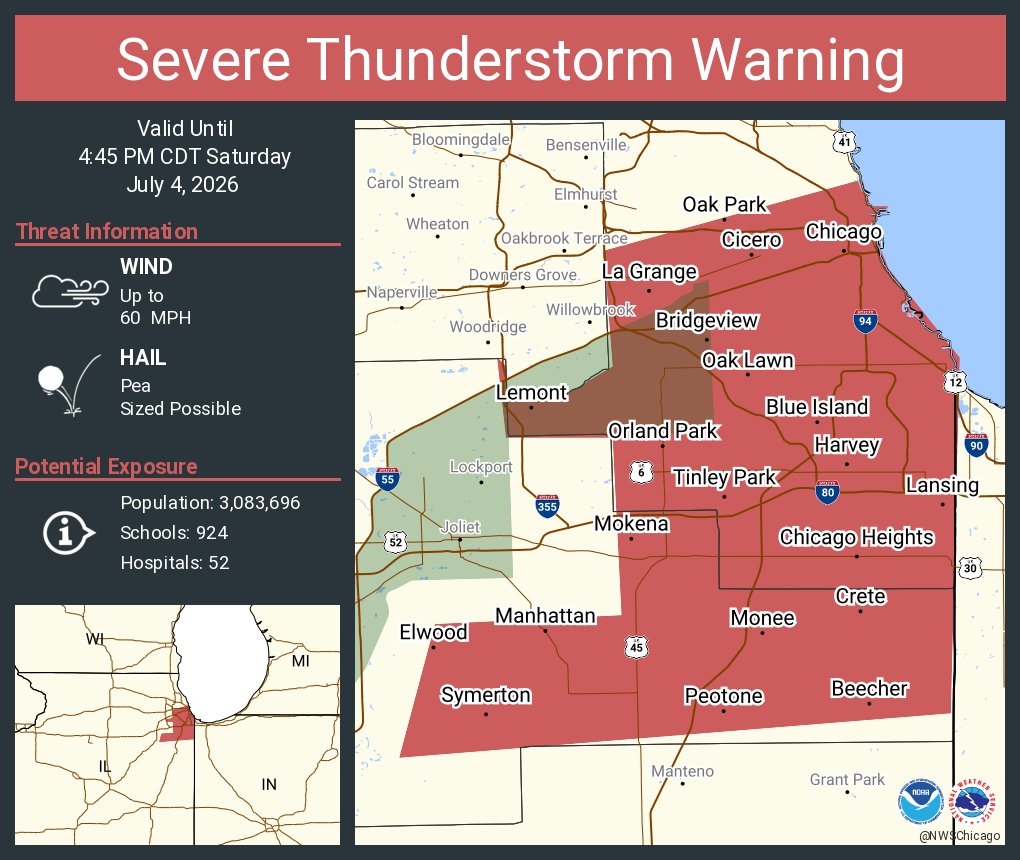
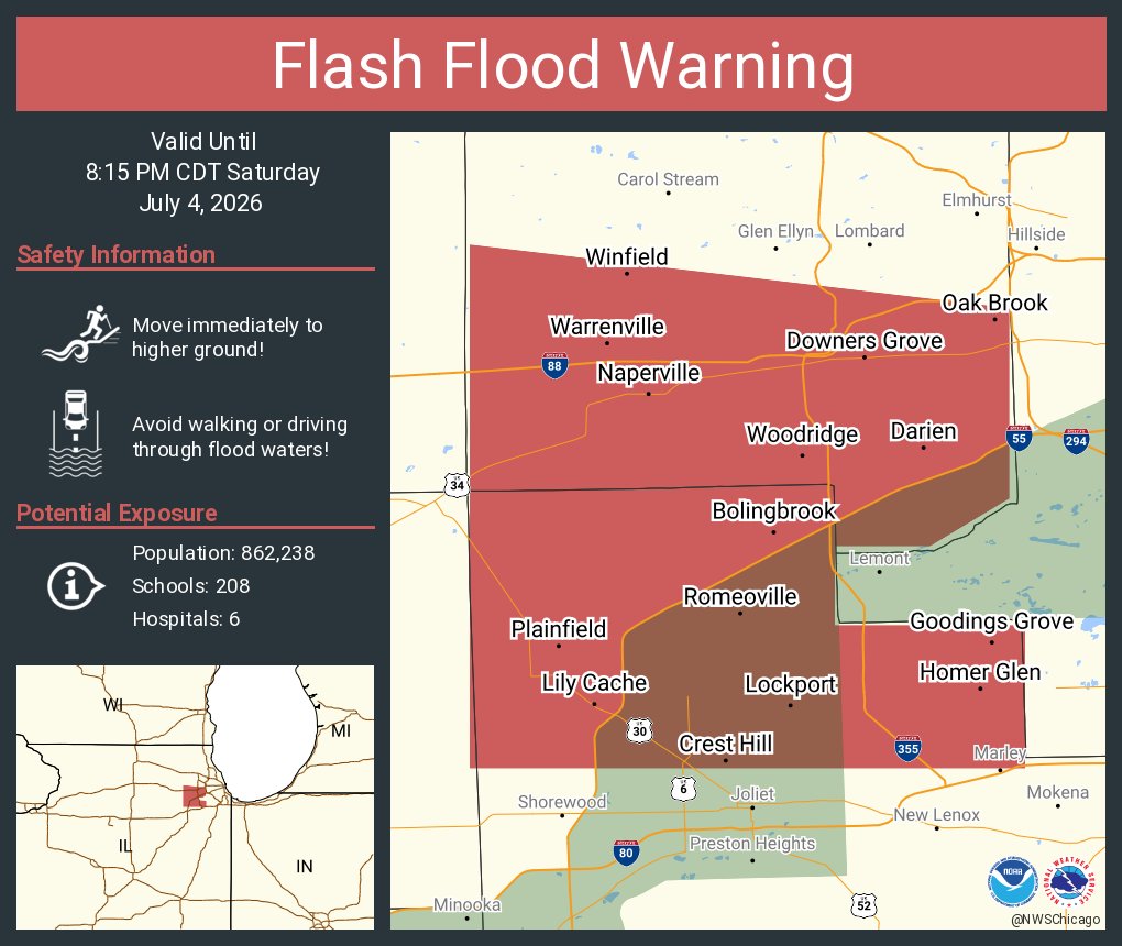
(🧵1/2) Scattered showers/storms are expected across the area today, mainly during the PM hours, and will be capable of torrential rainfall which may lead to localized flooding. Gusty to locally damaging winds are also possible with the strongest storms. #ILwx#INwx
Severe thunderstorms posing a risk for strong gusts and/or large hail are possible across portions of the northern and central Plains, the Lower Missouri to Lower Ohio Valleys, and across the Mid-Atlantic Thursday afternoon and evening. Excessive rainfall may bring flash and urban flooding over the Mid-Mississippi and Ohio Valleys, and Mid-Atlantic on Thursday.