Advancing @usioosgov and the national coastal, ocean and Great Lakes observation information needs for maritime commerce, public safety, and national security.
A study found its regional systems generate $192–$233M/year in value to users (5x the annual investment).
https://t.co/DyptMeC4eP
Investing in observing = economic multiplier.
#BlueEconomy#OceanData#OceanObserving
Keeping seafood safe & sustainable from dock to dinner. IOOS data helps processors & distributors by tracking:
🔹Coastal hazards
🔹 Water quality for compliance
🔹Seasonal trends for smarter planning
Alaska projects: https://t.co/0t2uWdqwwy #SeafoodSustainability#OceanData
🎣 How deep should we fish for tuna? Data shows us. @nanoos_pnw tools give anglers:
▪️Real-time ocean temps
▪️Daily condition shifts
▪️Confidence to find the bite
Because Smart Seafood Starts with Smart Data.
🔗 https://t.co/0Gw2oWs0kb
#TunaFishing#IOOS#NANOOS#OceanData
🦪 From Tide to Table: Oyster Farming in CA. @CeNCOOS gives farmers real-time data to:
▪️Track water quality & ocean acidification
▪️Plan for seasonal shifts
▪️ Align harvest cycles
Because sustainability isn’t just practice - it’s science: https://t.co/VRt0sCmI3s
#Aquaculture
A strong, sustainable seafood economy depends on more than skill - it depends on data. IOOS helps fishers, farmers & processors:
🔹 Track temps & oxygen
🔹 Detect harmful algal blooms
🔹 Forecast weather & waves
Learn more: https://t.co/wucb3036sw
#SmartDataSmartSeafood
Hurricane #Gabrielle Advisory 34A: Gabrielle Racing Eastward Toward the Azores. Expected to Bring Hurricane Conditions to the Azores Tonight Or Early Friday. https://t.co/tW4KeGdBFb
8 am EDT - In addition to #Humberto and #Gabrielle, NHC continues to monitor #94L located near the Dominican Republic. This system has a chance of becoming a tropical depression in the vicinity of the central and northwest Bahamas during the next couple of days. Interests in the southeast U.S., and the Bahamas should monitor its progress. https://t.co/Wq6ZtKfHp9
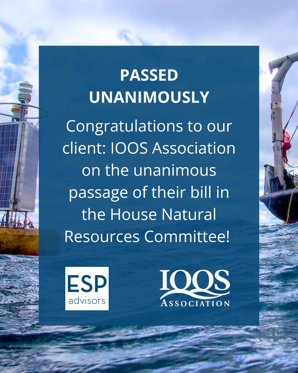
🚨The House Natural Resources Committee just passed the bipartisan IOOS reauthorization bill (H.R. 2294) unanimously! This vital system supports coastal safety & the maritime economy. 🌊📡 Congrats @IOOSAssociation ! @RepMikeEzell @RepBonamici
🚨 New Jersey emergency managers, planners, city leaders—this one's for you.
Discover how low-cost, real-time sensors + OceansMap can support smarter coastal decisions.
📅 July 30, 1:30-3 p.m. Eastern
🔗 Register here: https://t.co/cFZby843kq
@IOOSAssociation
Here's the weather outlook for July 4th.
🌡️ Hot and humid in the Midwest
⛈️ Wet for much of the Central and Southern U.S.
⚡ Severe storms and heavy rain/flash flooding possible in the Upper Midwest and Plains
💧 Heavy rain possible in the Northern Rockies and Florida
Terrific time at the 2025 @ametsoc conference for broadcast meteorologists in Boise, ID. Gave talks about importance of data/image #attribution, & combating #misinformation. With help of a small foundation grant & @IOOSAssociation we gave copies to many attendees. Thx everyone.
Smart #onthego tools. @caricoos Boating App is a real-time decision support tool delivering high-resolution marine forecasts and observations for #PuertoRico and the #USVI.
Download Today!
🔻 iPhone: https://t.co/IQHRbzzo8q
🔻 Android: https://t.co/7NeHciMOqV
#OceanData
Maps of high resolution surface currents within the San Francisco Bay - right in your pocket! For maritime operators in the #SanFranciscoBay, precision matters.
Delivered by @CeNCOOS.
Android: https://t.co/bfji2QEVMg
iPhone: https://t.co/g8XsBjbCMe
#BayCurrents#OceanData
Knowing what you don’t know can actually make you the smartest (and safest) person on the shore. Watch to learn how to "read" the beach environment — especially the swash zone, where breaking waves and flowing water can hide rip currents and other hazards: https://t.co/ZK8XmS2Yzs