This new BPC logo was inspired by a rescued juvenile Red-capped Mangabey, one of the world’s critically endangered primates (IUCN Red List).
It’s more than design — it’s a symbol of our mission at the Biodiversity Preservation Center.
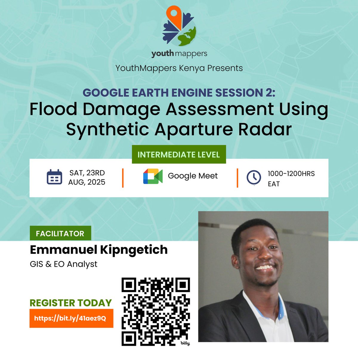
Our 2nd #Google#Earth#Engine session is happening this Saturday! @Kip__Emmanuel will be our facilitator!
Level: Intermediate & above
Looking forward to seeing you all! @youthmappers
Register here: https://t.co/sWR8CJfHLT
#geospatial
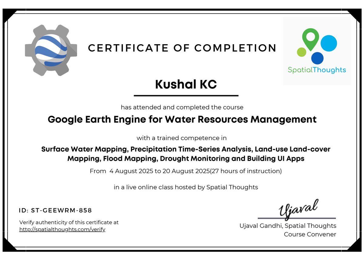
I'm so excited to have completed @NASAEarth ARSET ’s "Application of Earth Observation for Assessing Waterborne Disease Risk" webinar!
A great learning experience on using satellite data to understand and address public health challenges.
#NASA#ARSET#EarthObservation
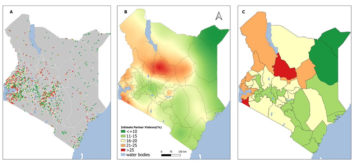
In my final year BSc project @TU_Kenya, I used @DHSprogram data to #map intimate partner violence using #geostatistical models.
Results show counties with high prevalence and hotspots within counties. #Spatial modelling guided by @Pete_M_M
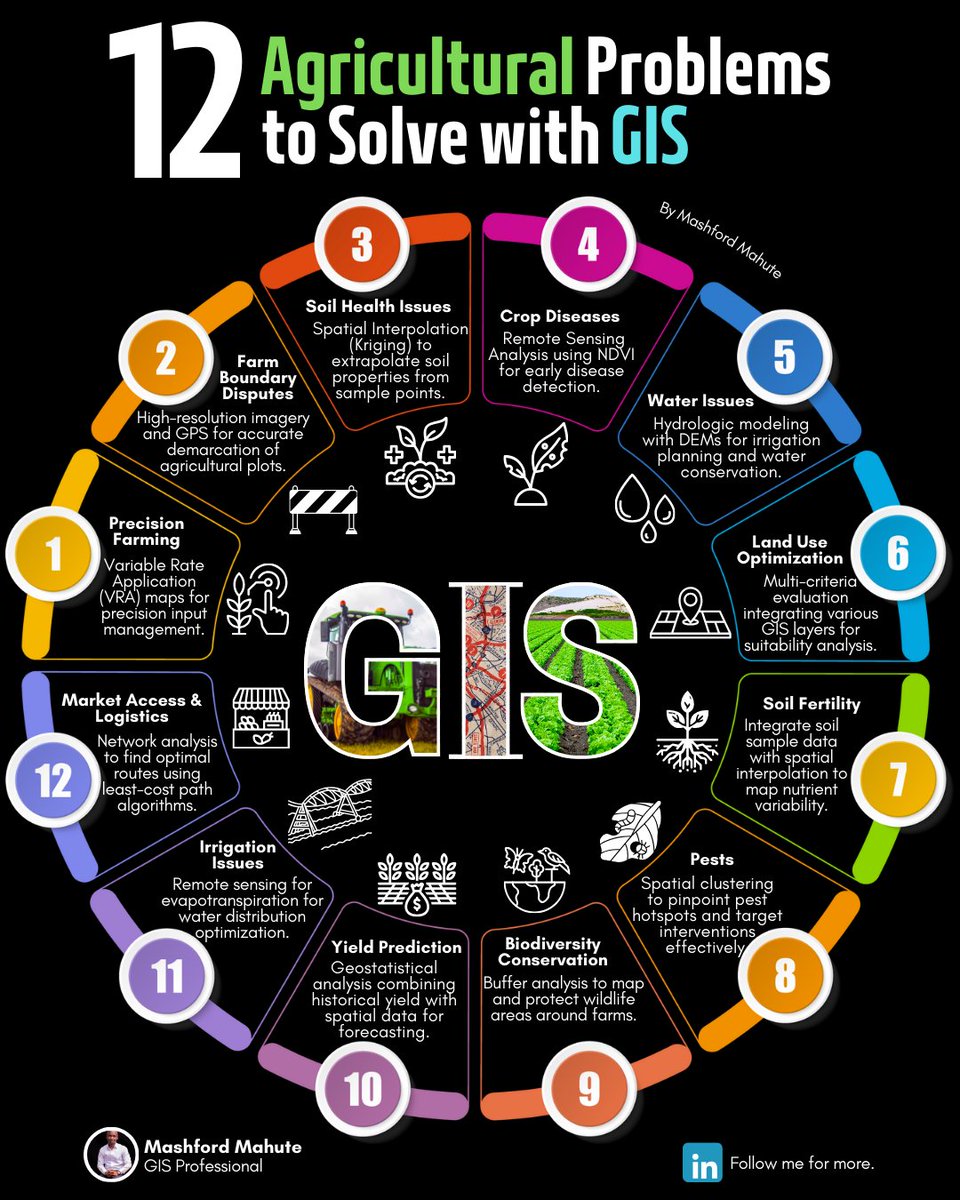
In the modern era, #agriculture faces a myriad of challenges from #soil degradation to #climate change.
Here's an overview of 12 specific agricultural #problems that can be tackled with #GIS, along with the techniques that can be used to address them.
This new BPC logo was inspired by a rescued juvenile Red-capped Mangabey, one of the world’s critically endangered primates (IUCN Red List).
It’s more than design — it’s a symbol of our mission at the Biodiversity Preservation Center.
This new BPC logo was inspired by a rescued juvenile Red-capped Mangabey, one of the world’s critically endangered primates (IUCN Red List).
It’s more than design — it’s a symbol of our mission at the Biodiversity Preservation Center.
The monkey and butterflies represent fauna, while the grasses around them represent flora — together, they pass a powerful message of biodiversity preservation.
Every element in the logo has meaning.
Google is offering a Generative AI Learning Path with 10 courses for FREE!
- Intro to Generative AI
- Intro to LLMs
- Intro to Image Generation
- Encoder-Decoder Architecture
- Transformer Models and more
A Thread 🧵👇
GIS professionals worldwide rely on QGIS & ArcGIS Pro to analyze spatial data, create high-quality maps, & make data-driven decisions.
This infographic compares the two to help you decide which software best fits your needs.
#GIS#QGIS#ArcGIS#DataViz#Cartography