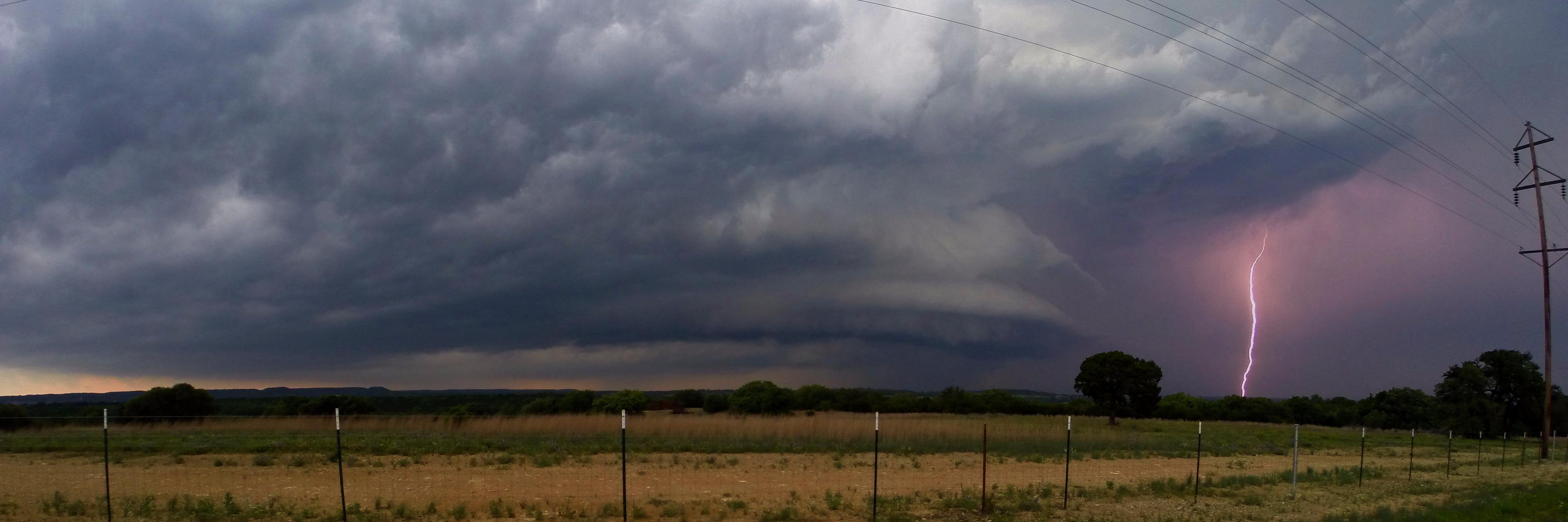
🌪️ Tornado de múltiplos vórtices registrado na tarde desta quinta-feira (06/08) em Pedro Osório/RS. Uma supercélula discreta se desenvolveu na vanguarda da linha de instabilidade dando origem ao tornado.
#BREAKING: New video of a (likely) tornado today at the Keystone Heights Airport, 25 miles northeast of Gainesville, Florida. Right now the National Weather Service @NWSJacksonville has this in as a funnel cloud because you technically can't see ground contact, but I suspect this will be investigated. Michael Potapow, who took the video, said he saw grass and leaves being launched up into the funnel. My vote is tornado, but the NWS has the final say. I'll keep you posted. 🌪️ @stormhour@spann@JimCantore
I believe we saw the Fujuwhara effect earlier in the Markham-Harvey, #ilwx area. These are common with QLCS mesovorticies like this, but it's rare to get such high-quality radar data from it. The Markham tornado slungshot around the weaker meso from Alsip as it slipped south
@TeaAndTornadoes@JasonCooleyWX Easily the most frustrating chase of my career. My chasing partner and I at the time were on the Post, TX cell pretty much before anyone and it looked so ready so many times. Missed the Mangum tornado by minutes thanks to the convergence.
Tropical Depression Two (#TD2) is gradually becoming better defined, with a slightly tighter circulation and more persistent convection to its south than yesterday. Max winds will likely increase to tropical storm force (39+ mph) at some point.
However, shear is beginning to dominate the storm structure and keep the circulation exposed to the north of the main thunderstorm clump. Downdraft-driven gust fronts abound to the north of the center, indicative of the dry air on that side suppressing convective activity. Unless we see the surface circulation drawn beneath the convective area, any intensification is likely to proceed slowly.
Given that conditions will become more hostile to the cyclone over the next 24-48 hours, its peak intensity should be limited. Tropical storm conditions are still possible along portions of the central Gulf Coast during Tuesday and Wednesday.
No words. Here is a peak at one of our most incredible drone flights around a #tornado to date near Tulliby Lake, AB.
The odds were completely stacked against us on this one, but thanks to some determination to make the 18 hour drive up here pulling an all-nighter, and brilliant forecasting by Nelson Tucker we were able to see this beauty.
This will likely be one of our last intercepts of the season, thank you so much to everyone for following along as we press on to properly measure tornadoes to push weather science forward!
#stormchasing #nature #weather
There was apparently a tornado in Alaska on July 4th, and it was fully condensed, too! That's incredibly, and I mean incredibly, rare. I honestly can't recall seeing a fully condensed tornado documented in Alaska before. This footage was captured near the Alpine Creek Lodge outside of Cantwell, Alaska.
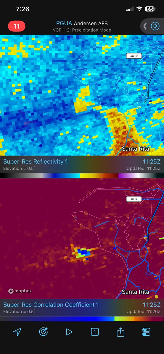
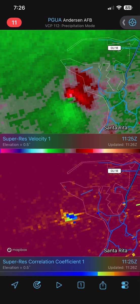
Wow! A tornado just impacted near Santa Rita, Guam, in association with Typhoon #Bavi. There is a tornadic debris signature and very strong velocity couplet on radar. I have never seen a TDS on radar in the Guam area before!
Check out this epic timelapse from my drone of the tornado near Beaver condensing for the 3rd time before it gets wrapped in rain. Just mesmerizing structure! #OKwx