Interested in the maritime industry & sustainable marine environment. Promoting @AdmiraltyOnline, @UKHO_Online & @CME_Prog. Tweets reflect my own views
Protecting the world’s oceans, supporting the #BlueEconomy and supporting world leaders - see how @UKHO_Online #SeabedMapping can inform critical maritime decisions https://t.co/3GzqlsMmzn
See how we’re supporting the UK Government and other world leaders deliver a more sustainable and climate-resilient future for oceans and coastal communities, through the foundation of #SeabedMapping: https://t.co/laGOvkmRT1
Today is #WorldHydrographyDay, marking the importance of #hydrography and marine geospatial data for unlocking a deeper understanding of the world’s oceans.
Great for the @UKHO_OnLine to be in partnership with @ForeignOffice, @NOCnews and @CefasGovUK on the @CME_Prog, and providing the foundation for informing maritime decisions in home waters and around the world. #BlueEconomy#MarineGIS https://t.co/rXuEiq4iiV
Proud to see the work delivered through the @CME_Prog recognised by Foreign Secretary @BorisJohnson and @foreignoffice, as we continue to support the UK’s strategy to protect the world’s oceans. https://t.co/HOFhKwZXiC
See how @UKHO_Online under the @CME_Prog is supporting the marine environment including UN Sustainable Development Goal 14 – life below water. https://t.co/UUxawQwHT6 #SDG#WorldEnvironmentDay@UNSDSN https://t.co/LMBiAtNCij
Many thanks @SomersetMuseum for hosting the annual #WorldHydrographyDay local #Taunton event once again. A great opportunity to show @UKHO_Online’s #MarineGIS capabilities, and to ignite children’s #STEM interests https://t.co/SZGyNumN5b
Great to give local #Somerset children the opportunity to play in our #AugmentedReality sandbox on Friday @SomersetMuseum. @UKHO_Online bringing #hydrography to life in 3D during the local #WorldHydrographyDay event https://t.co/4jPGUuPw4I
Many thanks to all who attended our #WorldHydrographyDay event last week. It was a pleasure to teach the local community about the importance of #hydrography and showcase some of the exciting work we do.
.@UKHO_Online marine data science experts at #Sprint18 - showing how using machine learning to exploit satellite imagery can help identify previously unknown shipping hazards for safer navigation. #SafetyAtSea#MarineGIS
Fantastic to hear about the #25YearPlan initiative, supporting the sustainable management of marine resources and the protection of our marine #environment. https://t.co/OfY9hewGqx
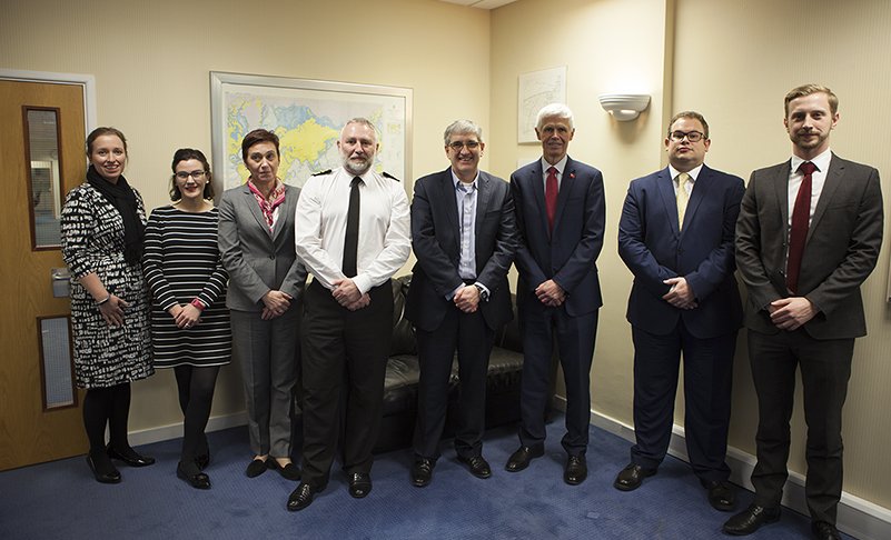
Productive meeting with @MCA_Media yesterday, discussing our future direction as a marine geospatial agency and how we can continue to work together in 2018 to support #SafetyAtSea.
This #GISDay, learn how we use marine geospatial data to support maritime decision-making worldwide in the new @ukshipping#SeaChange film: https://t.co/HJ7bpVehcL @gisday
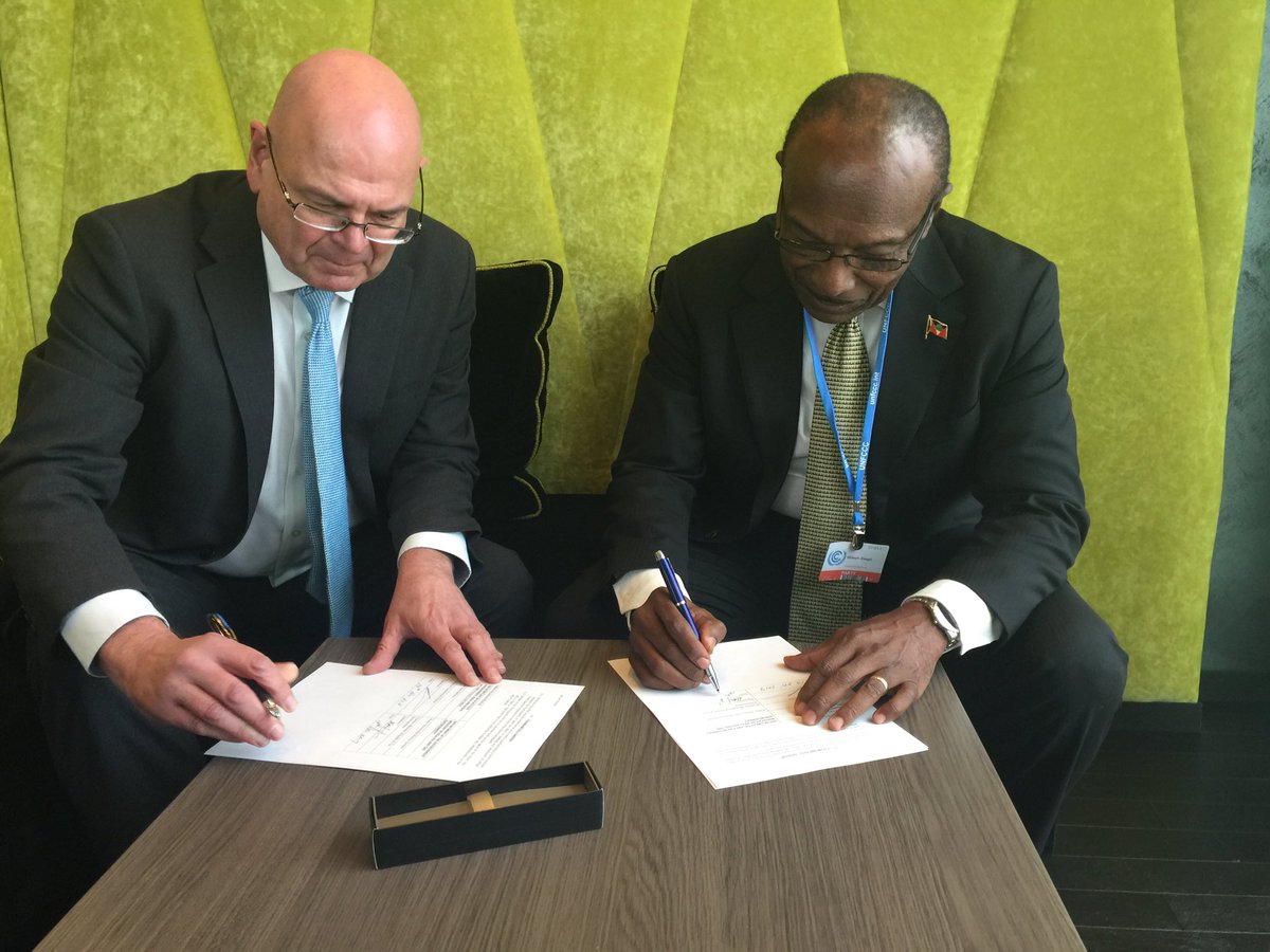
Minister Molwyn Joseph signs MOU between Cefas/Antigua and Barbuda at cop23, signalling long term co-operation addressing key topics such sustainability and resilience in the marine Enviroment @AandBEnviron@CefasGovUK@ABHCUK#cop23
Pleasure to host Minister of State @tariqahmadbt, @AsifAAhmad and Rear Admiral Peter Brady on board our chartered survey vessel in Jamaica, ahead of seabed mapping for @CME_Prog. https://t.co/UAfHPNhzos
#bathy surveyors already detected a #ShipWreck in the ships channel. Great #MarineGIS work helping to improve the efficiency and #SafetyAtSea
of seaborne trade in Guyana https://t.co/HymBhJSmVn
Surveying in #Guyana has uncovered an uncharted #shipwreck in the Demerara Ships Channel – information that will be used to update nautical charts for safer navigation.
Looking forward to @UKShipping & @ITNProductions’ #SeaChange film launch tonight; showing how @UKHO_Online helps UK & world trade and safety https://t.co/xjjeC9UE3G