I'm testing the new Segment Anything Model on satellite imagery. It works so well! Within 30 seconds I can get the footprints of all the objects of interest in a scene. Colab notebook below @EarthGenome
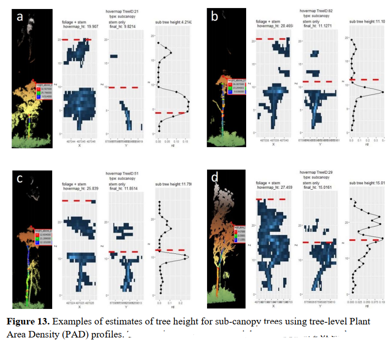
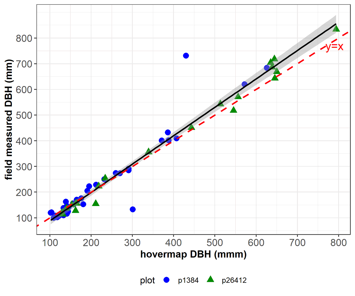
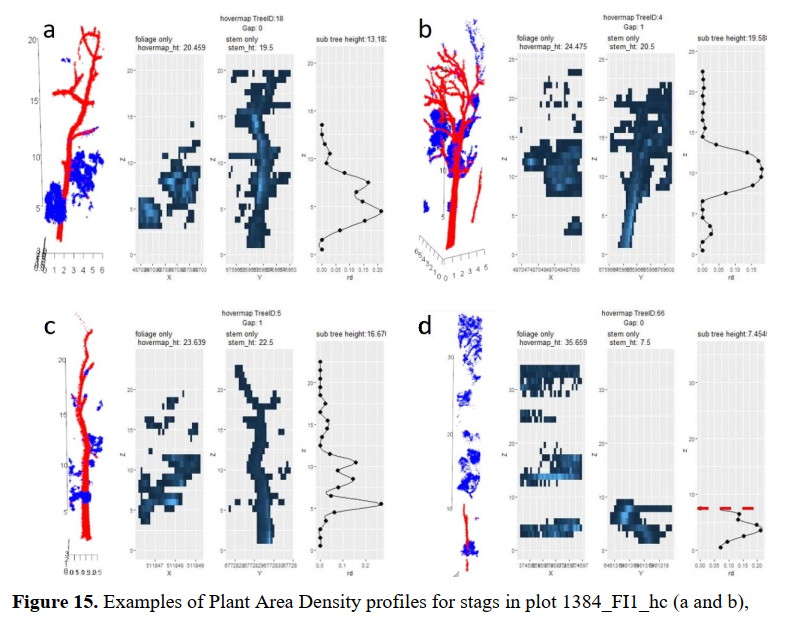
Check the result of 12-month collaborative project with FWPA (https://t.co/it1oAjijLj ). Honored to be a part of this project and contribute the Tree-level analyses section (Fig10-17). #MLS#ALS#forestry#foresttech#lidar
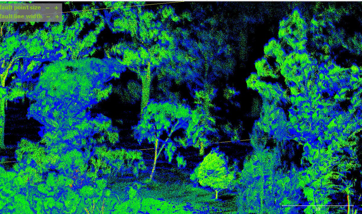
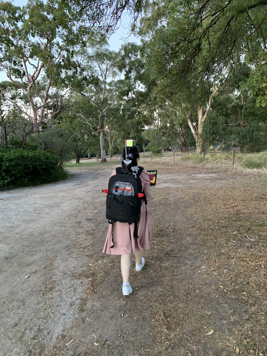
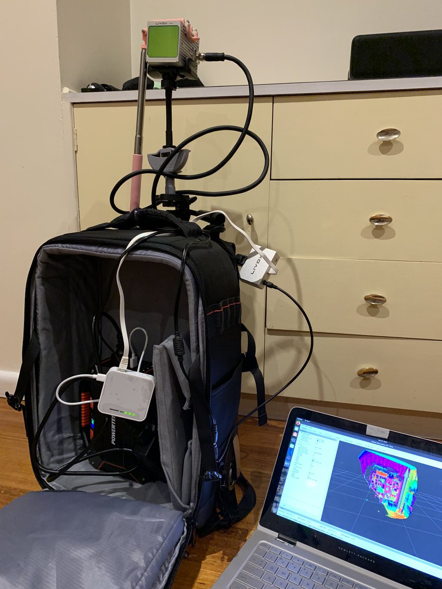
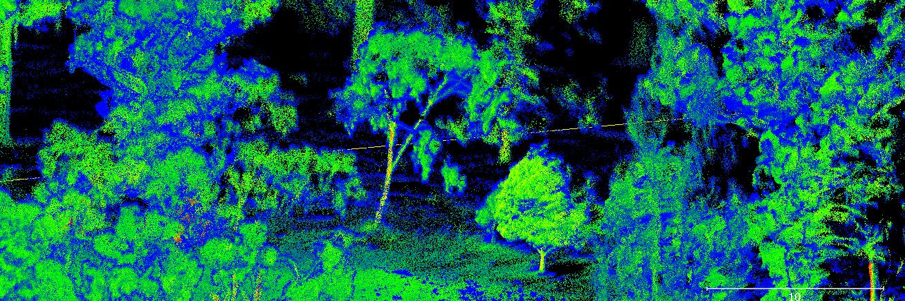
The trail scan of Ultra-dens/ROS-SLAM LiDAR system with DJI Livox AVIA (https://t.co/qMQQhzL4xP) in the mature native forest in Orbost #Lidar#MLS#dji#ros@CeoForests @VicForestsComms
April #GEDIVis entries bring on the May challenge competition! Here is an awesome 2020 entry from @neilssteven 🦧🌳 We are so excited to see what you come up with — make sure to tag @GEDI_Knights and use the hashtag #GEDIVis to enter :)
@venomox7 Thank you! That's a good idea! DJI also has a LiDAR sensor Drone Zenmuse L1 (https://t.co/Bn18HS9hvU) maybe can do a better work for this . We use the same sensor, but drone can cover larger area than human walking 😉.
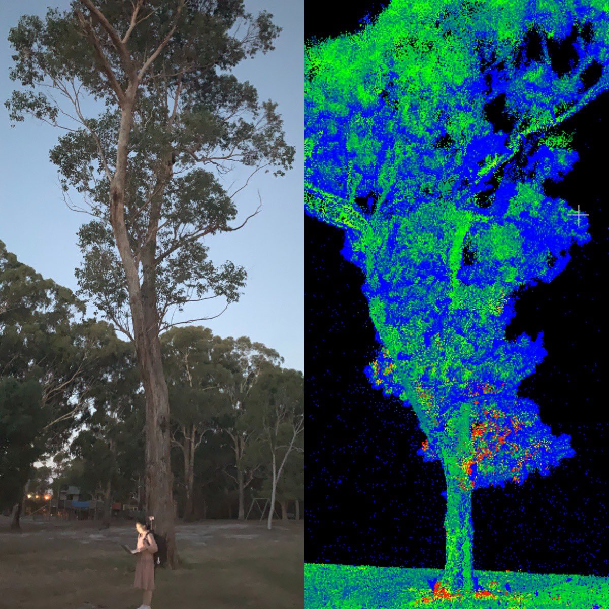
Build my own Ultra-dens/ROS-SLAM LiDAR system with DJI Livox AVIA (https://t.co/qMQQhzL4xP) Works very well for urban parks 🥳 Ready for a test scan in the native forest #Lidar#dji#ros#mapping
@actSocial86 @rosorg We're developing our own SLAM code, so unfortunately I can't share our whole code with you till we get our paper published. But you can check DJI Livox Github first (https://t.co/FTdGrl4Jxm), such as "livox_mapping", you may get some codes you can start with.
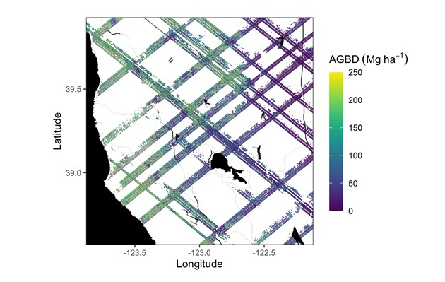
New! #Jupyter Notebook tutorials at the NASA #ORNLDAAC show users how to search, download, and subset the new Global Ecosystem Dynamics Investigation (#GEDI) L4A Footprint Level Aboveground Biomass Density, Version 1 dataset. Check them out at: https://t.co/ofrkK30r6I
Remembering Martin Isenburg, 1972-2021 Once you’ve spent even a little time in the laser scanning industry, you come across the work of Martin Isenburg. His LAStools and LASzip, freely available to anyone who’d like to use them through rapidlasso, are f… https://t.co/1um1f8MLJ5
Is there any spatial content/APIs/Apps relating to #COVID19Aus that we could be pulling together somewhere for easier discovery + collab if things ramp up next week? https://t.co/DbKB8v0t0r
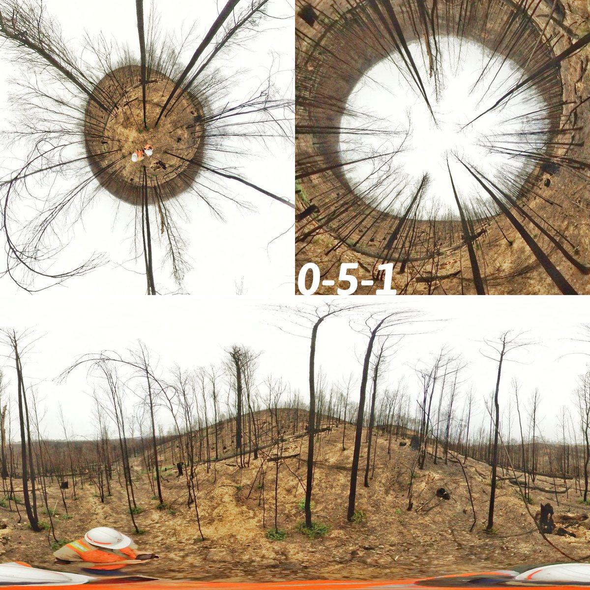
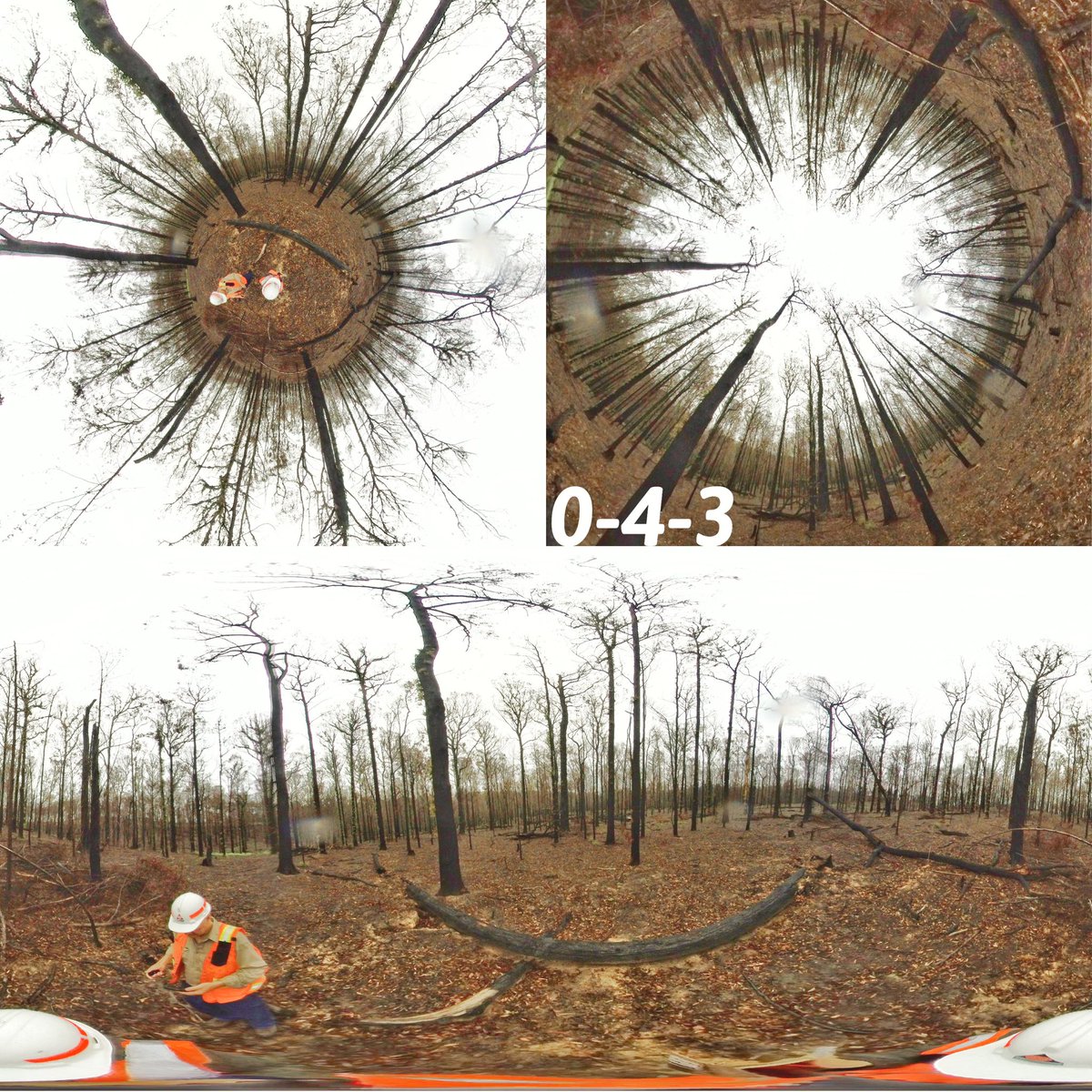
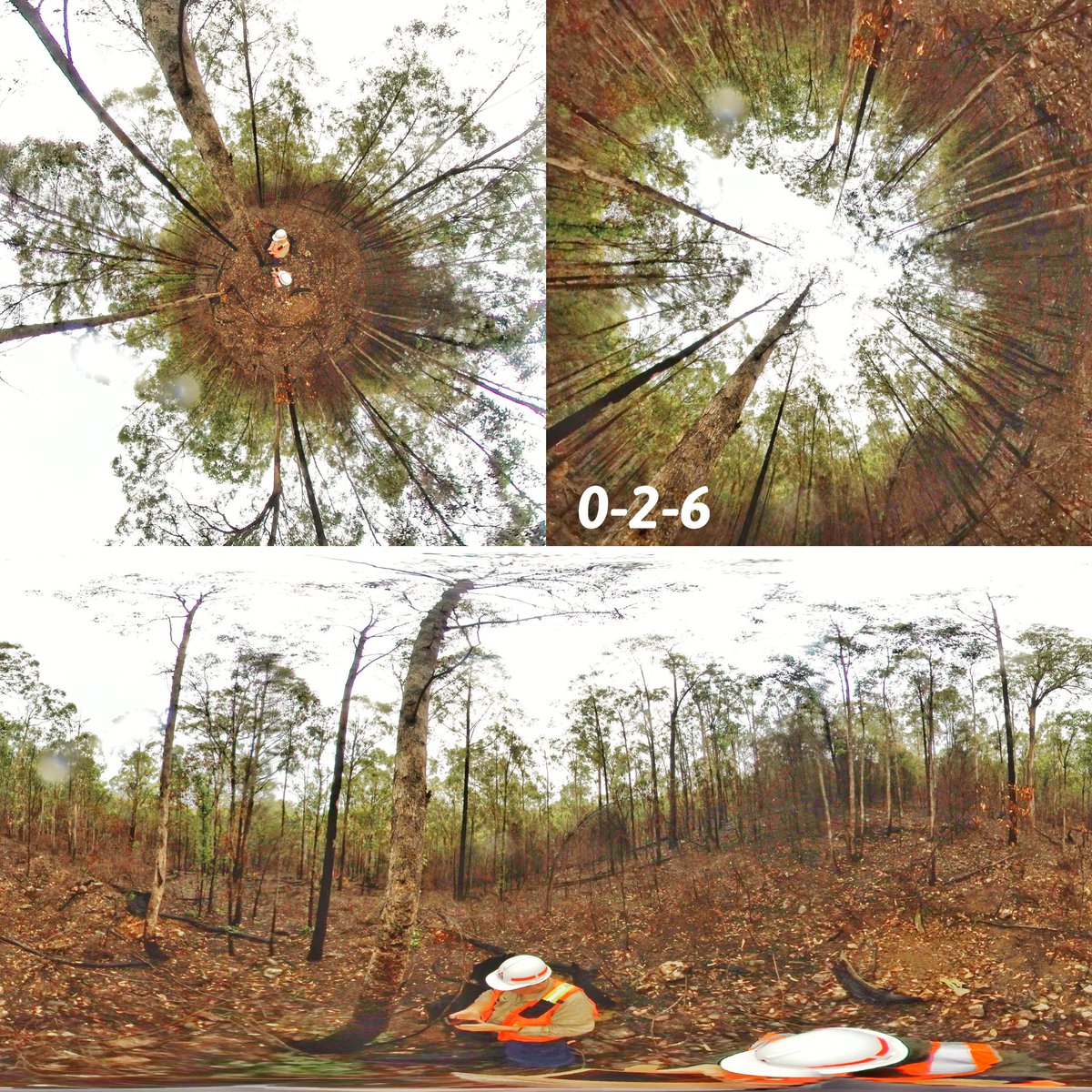
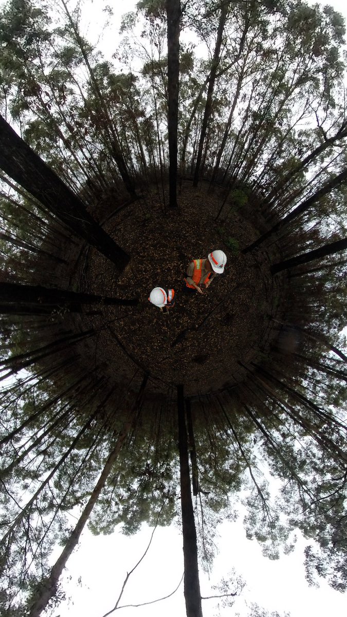
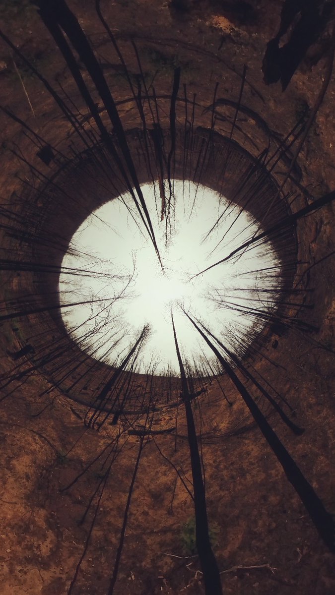
Did some photo editing for the multi-views of 360 camera photos #insta360#360camera Looks much better!😄😁😆
Up left: Depression angle;
Up right: Elevation angle;
Bottom: panoramic.