We’re launching a balloon again… come yap with some WindBorne weather weenies at the @exploratorium
(might be good to forgo a day of AI psychosis by touching grass / watching a weather balloon touch the atmosphere)
Phew! 🥵 The Bay Area was absolutely baking today! Several spots crushed their daily temperature records. San Rafael hit a staggering 104°F! Stay hydrated and check on your neighbors as we deal with this intense heat. Heat Advisory remains in effect through 10 PM #cawx
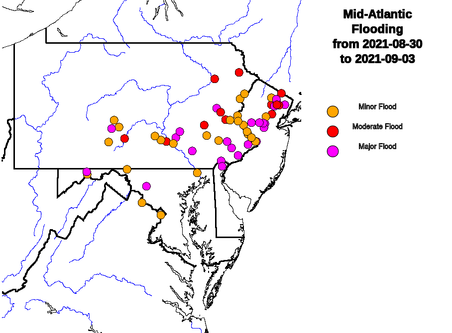
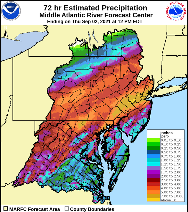
5 years ago this week, #HurricaneIda brought record-setting downpours and catastrophic flash & river flooding to the Mid-Atlantic & Northeast.
As we remember the storm, we also remember the dozens of lives lost and the countless others whose lives were changed forever.
Another typhoon, another @WindBorneWx eye intercept — this time navigating a controllable high-altitude balloon into a rapidly intensifying typhoon and collecting 3 vertical profiles in its eye as it cleared out:
Through extraordinary efforts, @WindBorneWx successfully navigated a controllable balloon above powerful Typhoon Dolphin, descended into its eye, then collected multiple vertical profiles as we circled inside its eye. A first of its kind type of hurricane data collection.
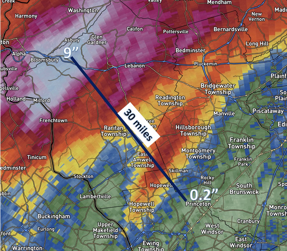
Just 30 miles in New Jersey from Princeton to I-78 made the difference between a few rain showers and a generational flooding event. 30 miles!
This is why these events are so difficult to forecast with precision. No, it wasn't a bust, you got lucky.
The wildfire smoke in the Northeast draws comparisons to 6/7/23.
In some ways the setups were similar as they were both NW flow events. But notice subtle differences in positioning yields different air masses.
That’s why NYC is 25 degrees hotter this time which makes it worse.