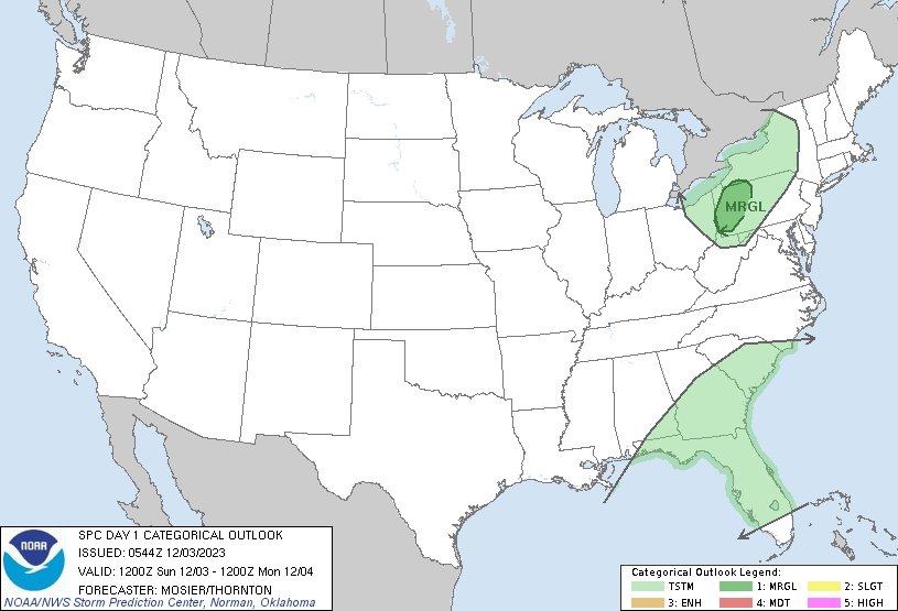
A cold front will pass across much of the western U.S. this weekend with areas of gusty winds, rain, and mountain snow; one to two feet of snow is possible in the Sierras, Cascades, and Wasatch mountains. Severe thunderstorms will be possible on Sunday in the southern Plains. https://t.co/qk3BcVPDBG
After a period of above normal temperatures, a pattern change brings cooler temperatures next week in time for the Thanksgiving holiday! Below normal temperatures are favored from Nov 21-25, possibly lasting until the end of the month #kswx
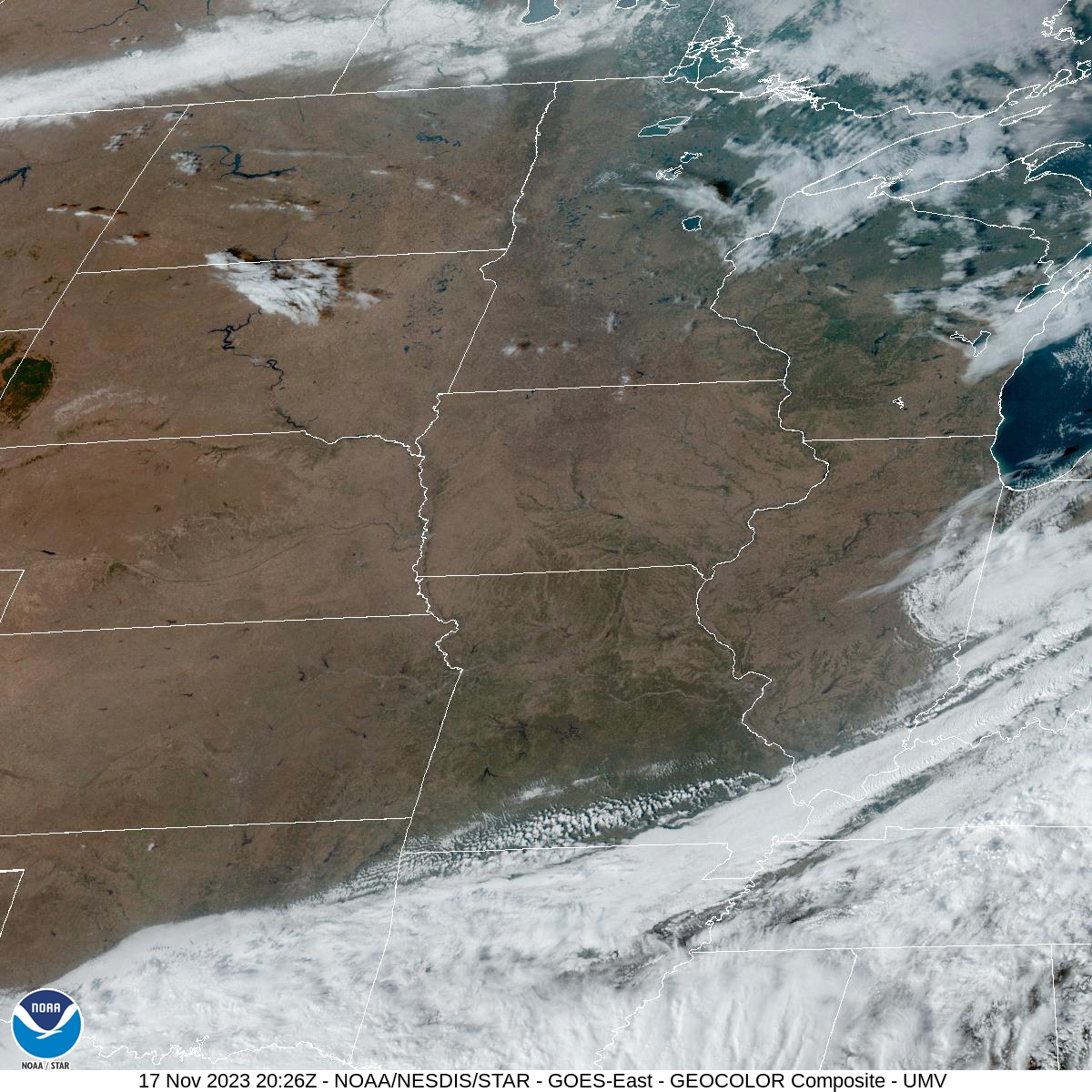
It feels a little presumptuous saying there isn't a cloud in the sky, but there really are no clouds over western MO and eastern KS.
Cool and dry conditions continue through the weekend before rain chances return Sunday continuing through Monday.
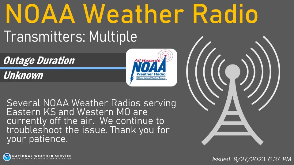
Multiple NOAA Weather Radio Transmitters are down due to a comms line issue. Technicians are working on it & hope to restore service ASAP.
No hazardous weather is expected; however, this is a good reminder to ensure you have multiple ways to receive weather information.
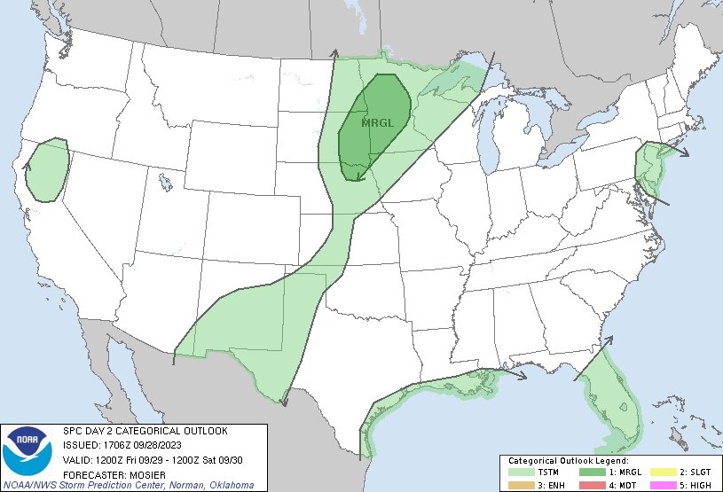
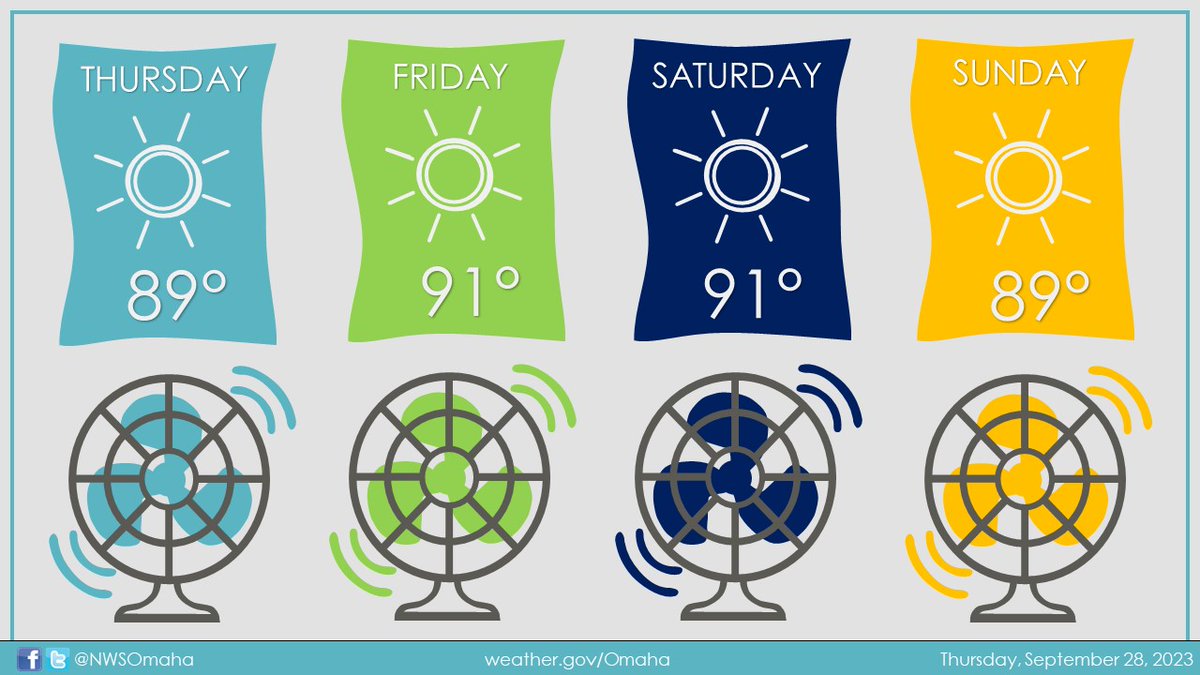
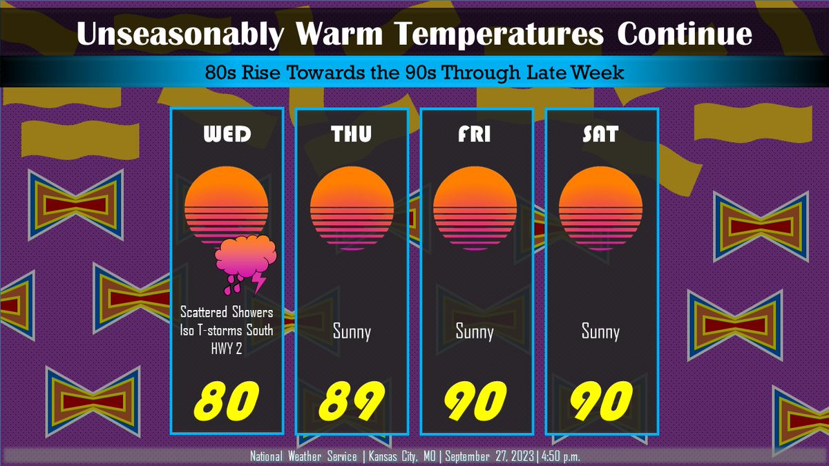
Some scattered sprinkles/showers with an isolated rumble of thunder are possible across SE KS & SW MO through sunset. Otherwise, it looks sunny with highs remaining in the 80s gradually rising towards the 90s as the weekend approaches.
Isolated showers will affect parts of central Kansas and the northern Flint Hills through the early evening. An isolated cloud to ground lightning strike is also possible. #kswx