Here’s what the Kankakee supercell looked like from distance while it rapidly re-intensified and put down the EF-3 tornado along with possible record size hail #ilwx
ISOLATED TORNADOES POSSIBLE Saturday evening across northern KS into southern NE along and ahead of a bulging dry line, with textbook ski jump trough during peak heating. We will be ACTIVATING the new state-of-the-art live streaming system from the Dominator 3 tomorrow. Stay tuned.
Violent tornadoes are uncommon.
The conditions required to support EF4-5 tornadoes usually only arise over narrow swaths of land a few times every year, making them quite rare, even in places climatologically prone to seeing them.
1/10
Image @USTornadoes
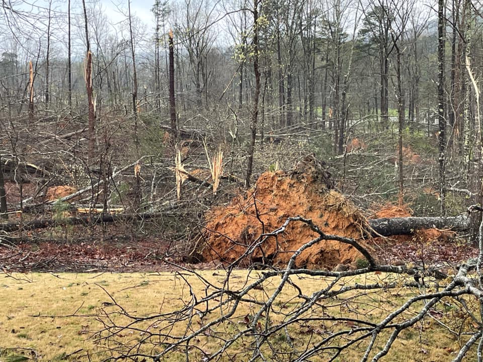
On our way home from AL and reminded of Hurricane Micheal by the damage left behind. Remnants of this destructive monster two and a half years later. Insane.
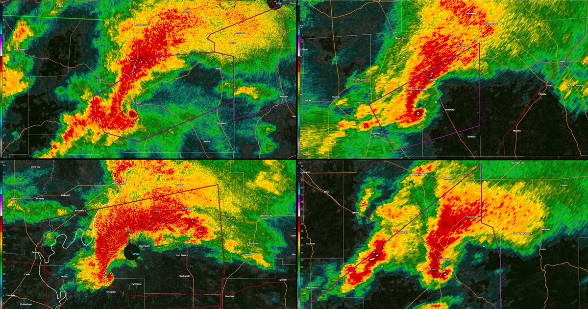
Some things are no coincidence. Such as these 4 uncannily similar radar images all resulting in unusually long-tracked, intense tornadoes.
From top left:
Centerville, AL, EFU, 75+ miles
Bassfield, MS, EF4, 68 miles
Crossville, IL, EF3, 44 miles
Holly Springs, MS, EF4, 75 miles
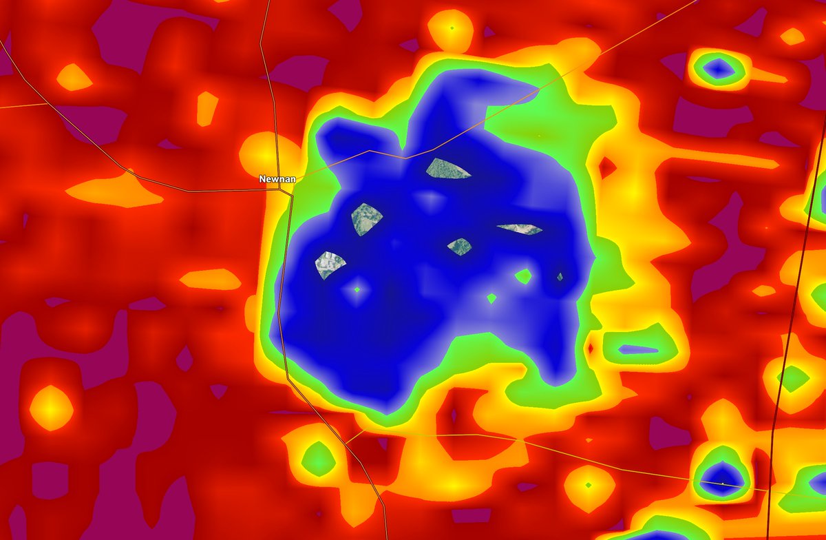
I can't believe I'm saying this, but Metro #Atlanta, especially in southern areas, could see some debris fall in the next 20 minutes.
It's from the #tornado that struck Newnan.
It's fanned out into the storm and been carried northeast by strong jet stream winds.
It appears that Newnan, Georgia was a direct hit by a serious to monster #tornado.
All indications suggest the circulation passed directly over the downtown area – Jefferson St., W. Court Square, etc.
The restaurants, businesses, etc.; radar indicates worst case scenario track.
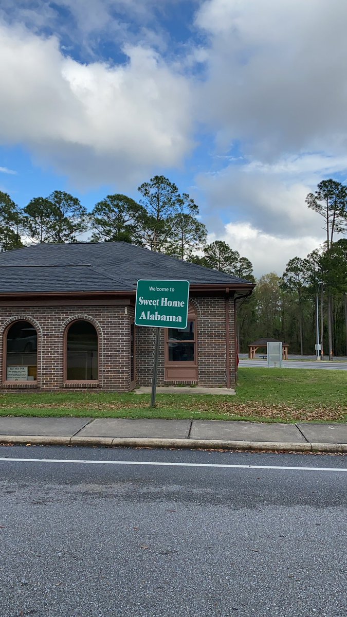
Made it to Alabama! Currently in route to Starkville, MS to spend the night. We’ll see tomorrow whether we’ll go south, north, or simply stay put. #ALwx#MSwx