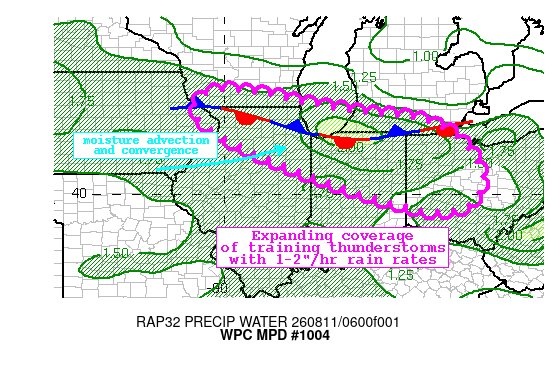
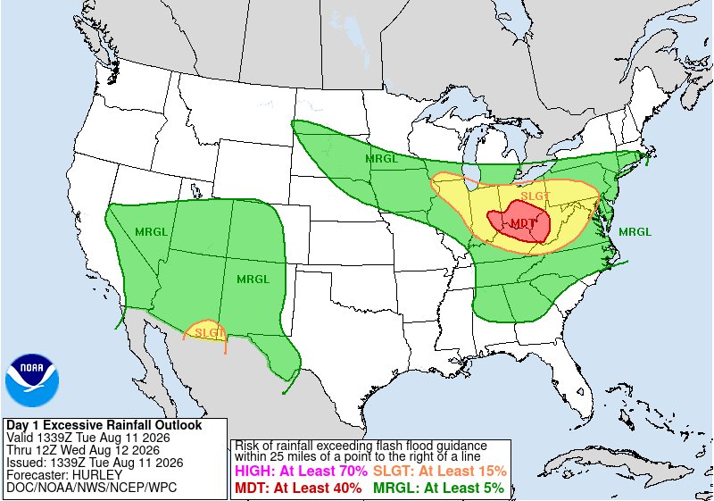
[6:50 AM] One band of storms is exiting central OH to the east while another approaches from the NW. The storms will move from N IN into WC OH and EC IN through the morning hours with gusty winds and frequent lightning/torrential rainfall. More storms are expected this afternoon.
As of 11:20 PM, we are most closely watching eastern OH/northern WV for damaging wind and flood risks through 2 AM. Areas to the north and east may see expanding storm coverage, but flooding and severe chances are lower in the near term.
7:40pm: A new severe thunderstorm watch has been issued. This watch is valid until 2am. There are thunderstorms already developing upstream around Chicago and northern Indiana and will move into the area as the night progresses, in addition to other thunderstorm development.