TORNADO RISK HAS INCREASED!
Kansas City has been added to a 10% CIG 1 tornado threat. A few strong tornadoes are likely this evening from Texas to Wisconsin.
We'll be live later when things ramp up.
26 years ago today, the May 3, 1999 #tornado outbreak happened, including the strongest tornado in History - the Bridge Creek to Moore to OKC F5. I was a freshman meteorology student at the University of Oklahoma, and we had just finished our calculus exam when we piled in the soft top Geo Tracker, driven by Matt Sannes. We blasted down I44 to target the dry line down near Altus, but ran into a lead renegade supercell that formed off a horizontal convective roll near Lawton. The storm looked like a nuclear explosion with news choppers flying all around it. Minutes later we intercepted a white elephant trunk outside of Cyril. Two tornadoes later with this cyclic #tornado producer, the F5 planted with the Doppler on Wheels nearby scanning winds in the vortex. They would measure a 300+ mph wind gust in the tornado near peak intensity. We briefly became disoriented in a forested area near Bridge Creek, and someone (possibly me) had the bright idea to abandon the Geo Tracker to take shelter beneath the overpass. Families were already sheltering there as the F5 slid by the overpass, sending RFD through the gap. We then saw the dark side this #tornado left behind in Moore, OK with total devastation. Horses wandering on the highway and people emerging from the rubble. This was a terrible day for many Oklahomans. A total of 74 tornadoes happened during the May 3, 1999 outbreak including 46 fatalities and $1.5 billion in damage
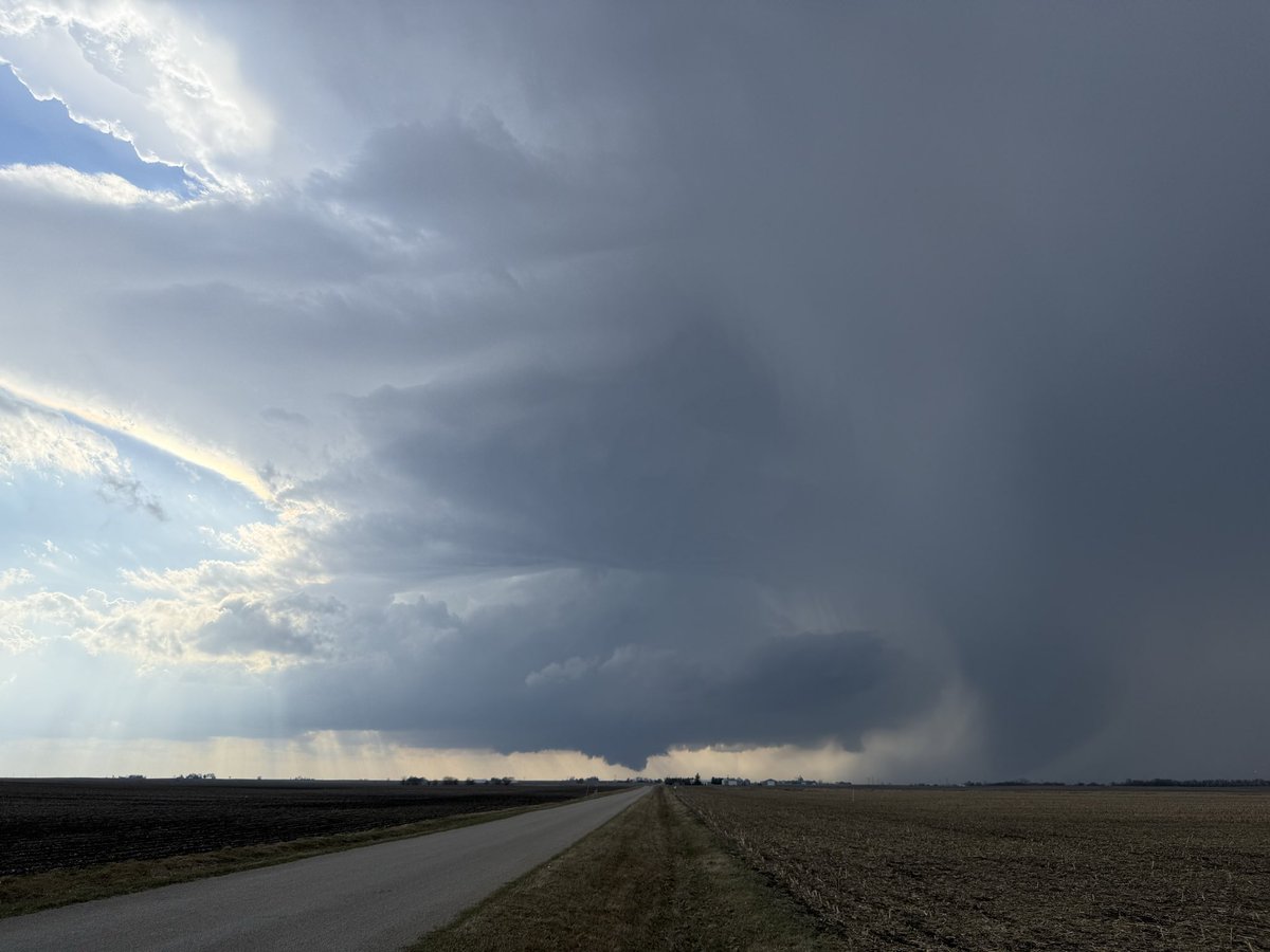
Strong storms targeting Central Illinois & Western Indiana this afternoon. Multiple tornadoes, large hail & damaging winds possible. Chicago, Indianapolis & surrounding areas should stay weather-aware today. Peak severe threat: mid-afternoon to early evening
This updated Oklahoma SB158 is still concerning. While it claims to regulate storm tracking for safety, it's actually designed to protect traditional TV stations while excluding digital media platforms, where many Oklahomans now get their severe weather coverage. The bill ignores the reality of how people consume weather information in 2025. This isn't about safety; it's about protecting certain businesses at the expense of public access to life-saving weather information.
https://t.co/TmFYquzjmF
HUGE NEWS: Max Velocity is joining forces with The Y’all Squad to support Hurricane Helene Relief Efforts. The devastating flooding and wind damage have left thousands without shelter, power, cell service, and essential supplies.
By partnering together, we aim to provide much-needed assistance to those struggling to secure basic necessities, helping to accelerate recovery efforts across Tennessee, North Carolina, South Carolina, Georgia, and Florida.
Please consider donating today to support those in need: https://t.co/jlZWrAXDuP
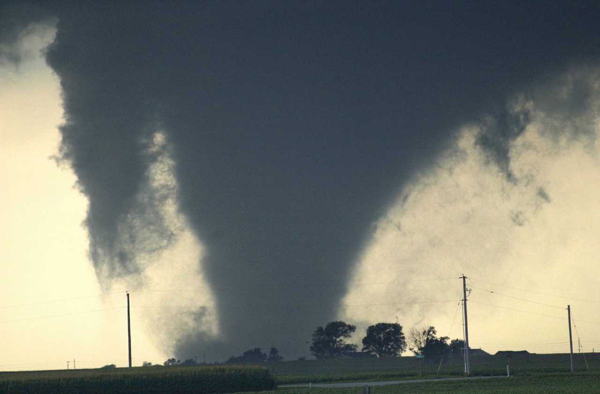
20 years ago, an F4 strength tornado tore across Woodford County and demolished the Parsons plant west of Roanoke. Check out our new Story Map at https://t.co/2rhYqSW91w for a review.
📷: Steve Smedley
#ILwx
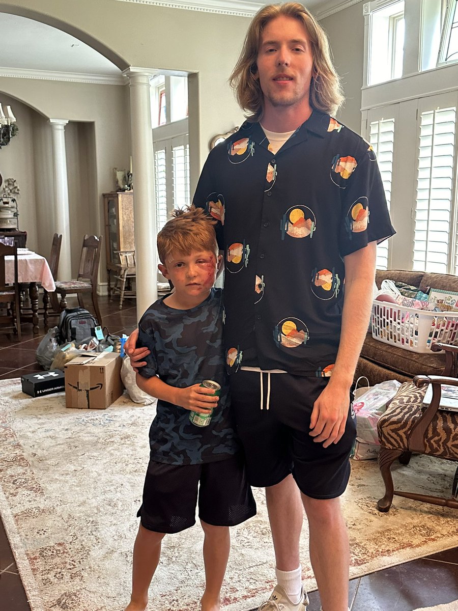
Thank you to everyone that has reached out to help. Currently all immediate needs are met.
@FreddyMcKinneyR & @ChasingWConnor came to see us.
Lane wanted to give Freddy a hug, and named his new stuffed animal after him 🥰
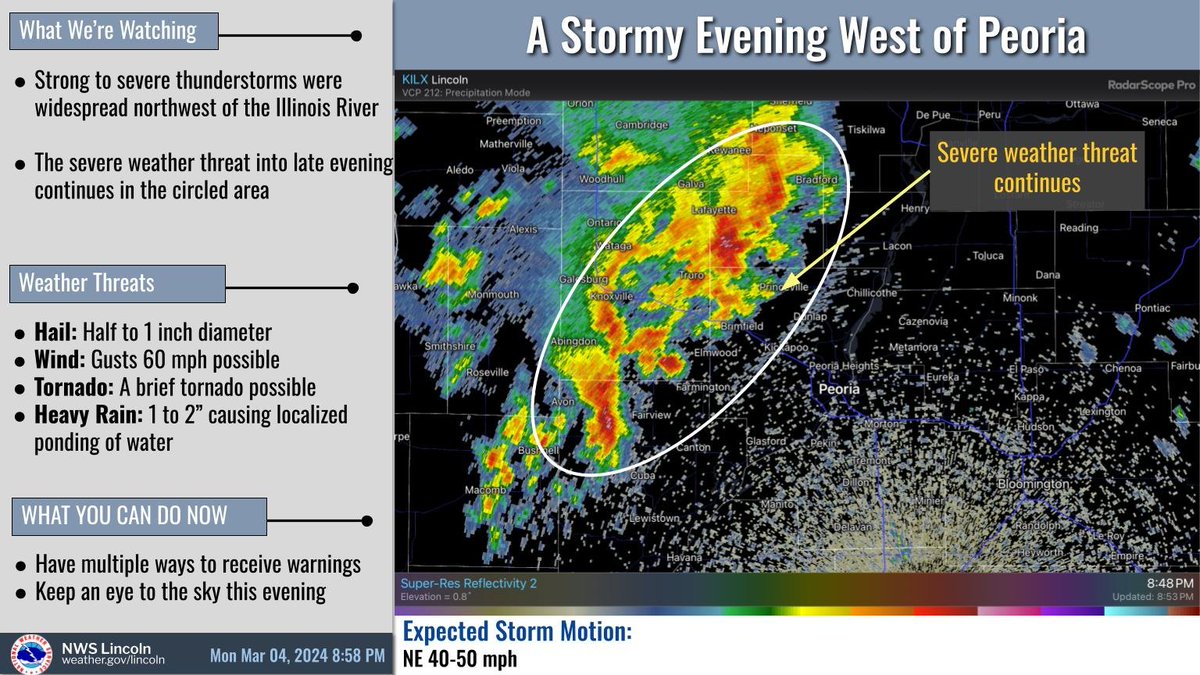
There are chances for severe t'storms for central IL tonight, Sun, & Mon. Tonight's storms will be between 9PM and 5AM, with hail as the main threat. The system expected Sun/Mon have all hazards possible with any severe t'storms that develop. Stay tuned for further updates. #ilwx