I sure have missed my storm chasing partner Gizmo.
She has intercepted over 200 tornadoes and the eye wall of a category 5 hurricane. Gizmo has also been inside a tornado with a cast, and was present on the rocket launch
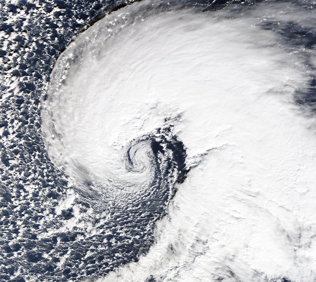
Unbelievable satellite shot of the bomb cyclone off the coast of California.
The central pressure of this cyclone will drop to the equivalent of a Category 3 hurricane.
For weather geeks, this is simply incredible. The GFS drops the pressure of our incoming storm down to 959 mb. The Euro is similar at 961 mb. For perspective, pressure that low is on par with what we'd expect with a CAT 3 hurricane. This thing means business.
Chicago dodged a major bullet with this storm as it just couldn't win the battle vs itself. Pretty confident I had a brief tornado west of 31 in Elgin, crossing over 90 at around 6:03pm. Damage is from LaGrange as some brutal RFD shredded trees for miles.
#ilwx@NWSChicago
Yesterday, students on the Severe Weather Forecasting Field Trip spotted their first tornado of the trip (possibly anticyclonic!) south of Oberlin, KS. #RUChasing
An Enhanced Risk (3/5) is in place today across portions of the southern and central Plains into the ArkLaTex. Severe storms with widespread damaging winds (some 75+mph) will be possible along with large hail and a couple tornadoes. See https://t.co/QMmU4tBZDt for more info.