As of early this afternoon, the severe weather threat has expanded a bit further south and west with the primary threat being damaging wind gusts. To reiterate, the greatest threat for severe potential remains north and west of the I-95 corridor. #NJwx#MDwx#DEwx#PAwx
160th SOAR MH-6 Little Birds having fun in the Night Stalker version of a playground.
These elite pilots get very good at landing on just about anything, no matter the difficulty.
Bad Bunny requests a $466,000 reimbursement after winning a lawsuit over the sample of "Enseñame A Bailar"
@sanbenito’s lawyers claim that the publisher tried to “extract an undeserved, multimillion-dollar settlement” from him. (via Billboard)
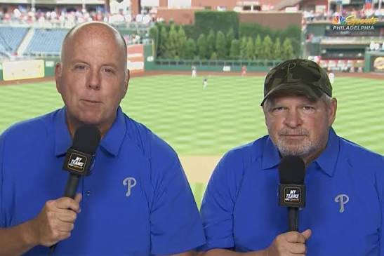
From NBC Sports Philadelphia:
“Phillies live spring training games will feature play-by-play announcer Tom McCarthy and veteran analysts Ruben Amaro, Jr., Ben Davis, and John Kruk rotating in the booth.”
“Phillies legend Cole Hamels will return as a game analyst on a part-time basis.”
@AntiWokeWar_@NWS_MountHolly I know you thought you really had something there🤦🏾♂️, but climate change makes the weather more extreme/unpredictable. Warmer temps are welcome but aren't a good sign mid winter.
@grok how does climate change affect winter weather patterns?
🤔 Why is our snowpack seemingly unfazed by our warmer, above freezing temps the past few days? There's a lot more to the snow melt process than air temp! Dewpoints, sunlight, night time temps, winds, & liquid density all play a critical role in the rate of melting. 🧵 (1/4)
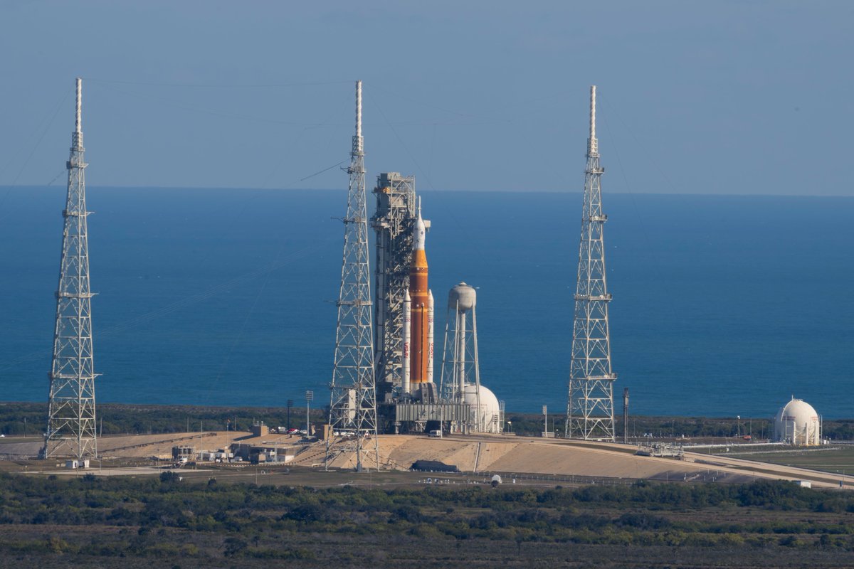
Due to weather, we now plan to fuel our Artemis II Moon rocket on Monday, Feb. 2, at Kennedy Space Center in Florida. With this adjustment, the earliest possible launch date is Sunday, Feb. 8. A launch date will be set after teams have reviewed the results of the wet dress rehearsal. Read more: https://t.co/eNxx6YcGbv
📈ANOTHER STORM SIGNAL NEXT WEEKEND?
As one storm exits, another is already on the radar. And once again, the AI European model deserves some credit — it sniffed out our most recent storm well before any of the traditional, physics-based guidance.
Now the AI-EURO is back, flashing a storm signal for a southern low tracking east across the country NEXT WEEKEND.
What the model is showing:
Phasing of the northern & southern jet streams over the TN Valley as a northern shortwave diving in and infusing southern energy. This creates a surface low tracking along the arctic boundary in place later this week.
We consider this track a classic “Southern Slider” setup with plenty of cold air in place to the north with moisture binding against the gradient.
What could go wrong?
1️⃣ Too much cold air → storm suppressed south (big snow for the Deep South)
2️⃣ No phasing → weak, disorganized system
3️⃣ The model is… full of it 😅 (and we crowned it too early)
Why this could be legit:
✅ MJO heading into Phase 8 — historically favorable for eastern U.S. storms
✅ Guidance is very bullish on cold air, usually tied to strong thermal gradients
✅ Blocking signals showing up on both the West Coast and western Atlantic
Messy lawsuits, tumbling stock prices, inappropriate workplace relationships and Jeffrey Epstein fallouts can cause even the brightest careers to fall. https://t.co/Xhzziq3iph
Illustration: Max-o-Matic for Forbes