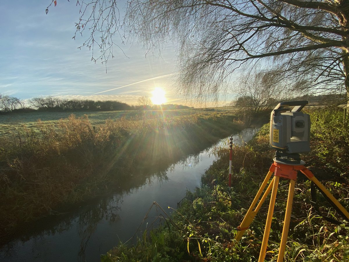
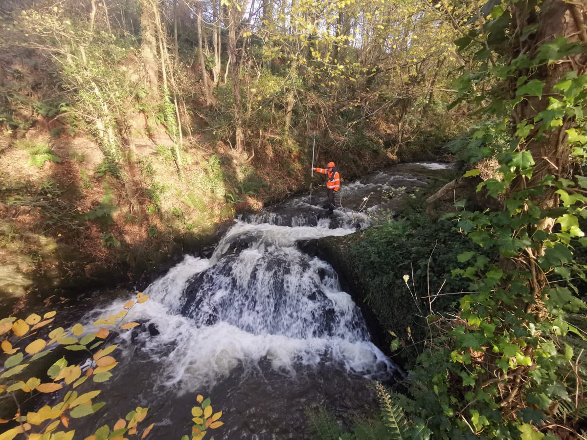
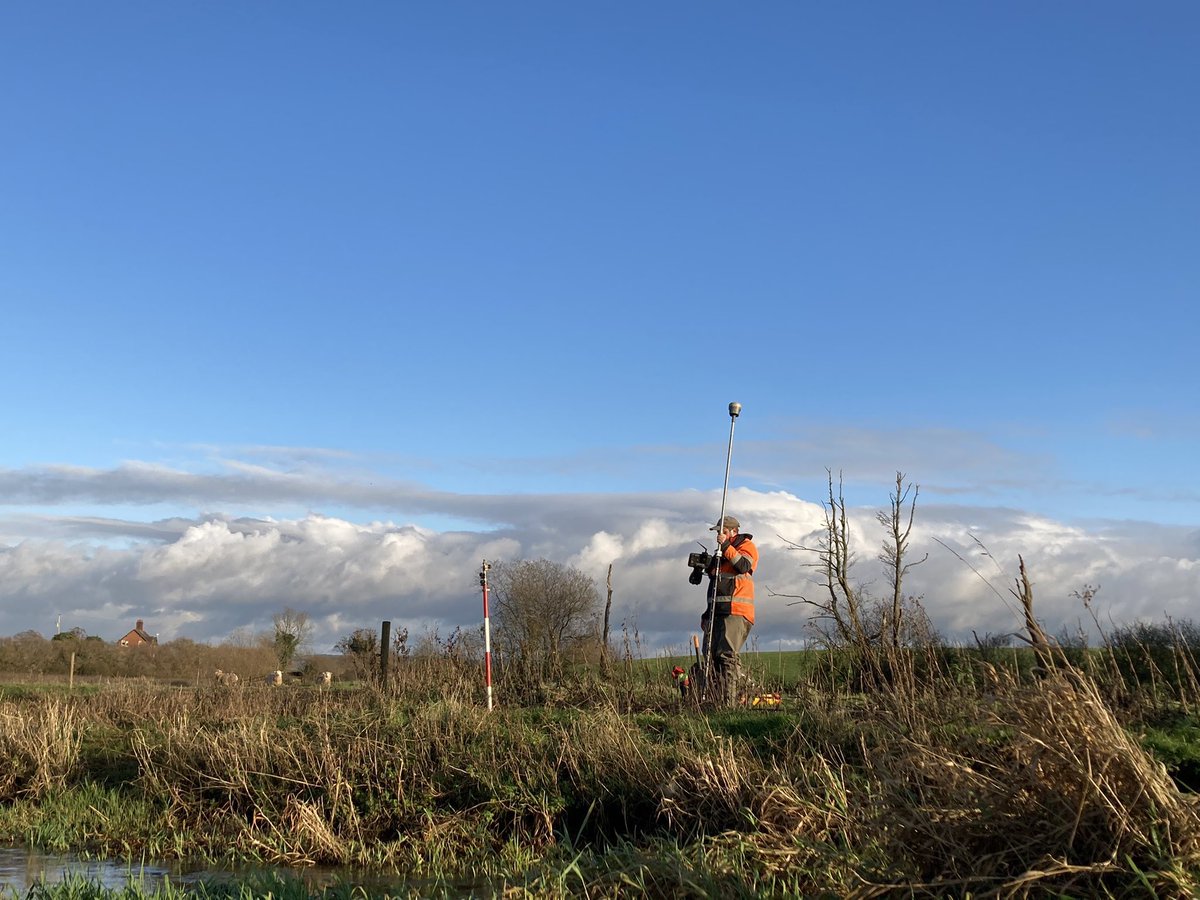
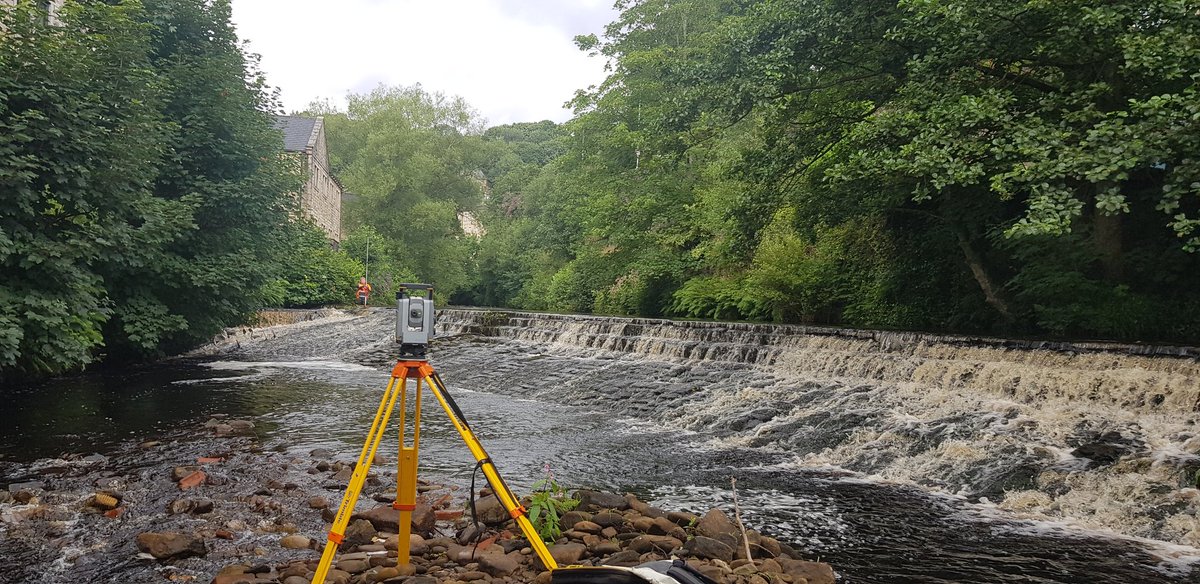
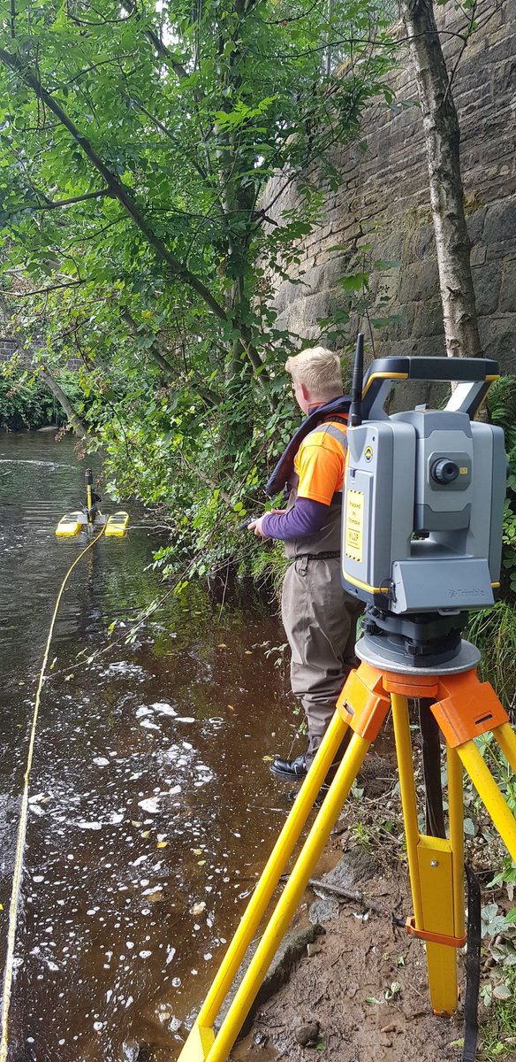
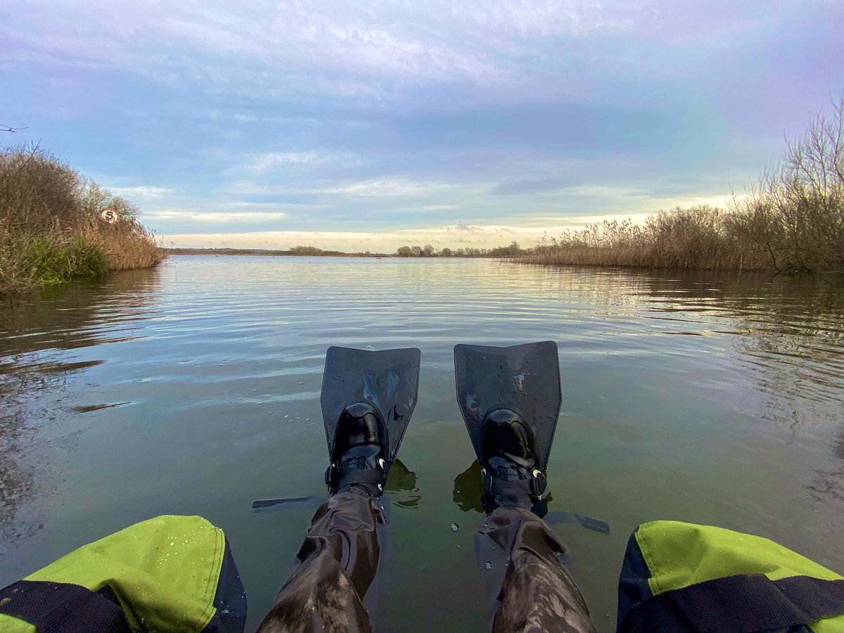
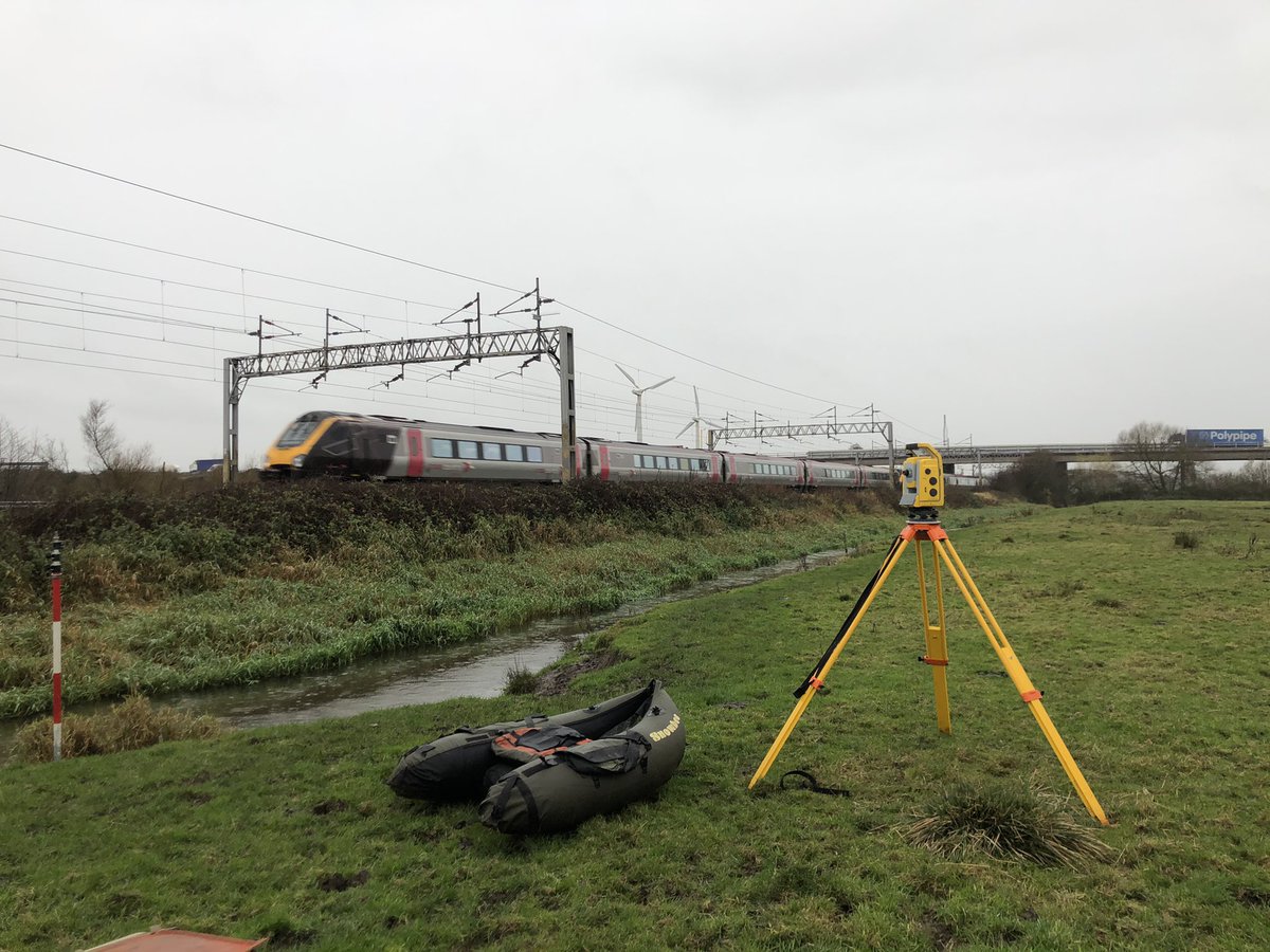
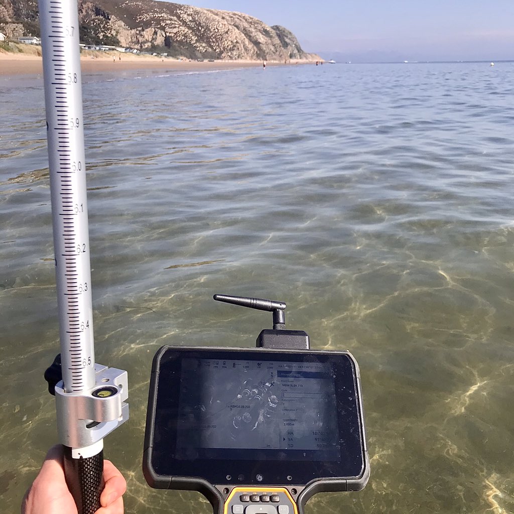
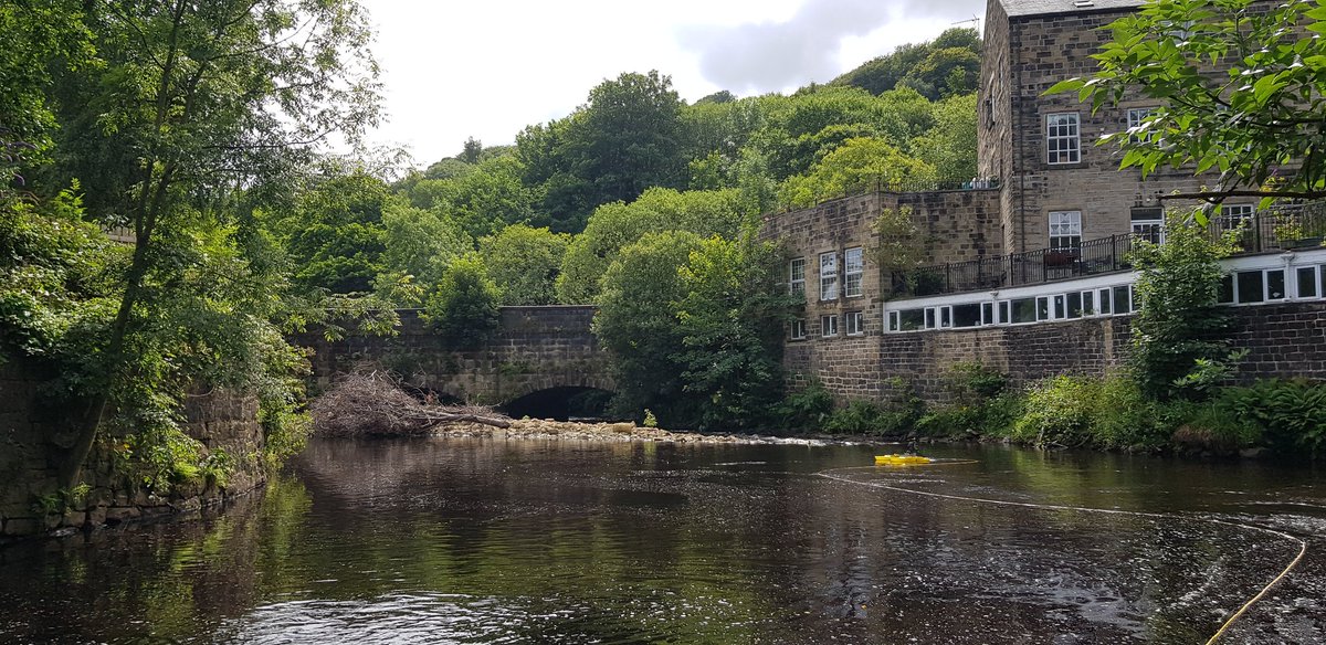
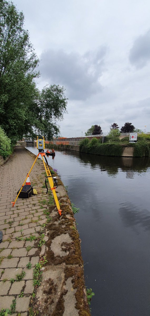
Back out on the River Calder this week to complete a complicated bathymetric survey. Had to deploy the Hydrone to #safely survey a 4 metre deep scour hole at the River Calder and Hebden Water confluence to aid in flood mitigation plans. #covidsafe#survey#flooding
Not a bad spot for some #360 degree camera footage of our river #Derwent#bathymetric#survey. All captured using @NC_Tech iSTAR pulsar.
FYI this is footage from a phone NOT the iSTAR.
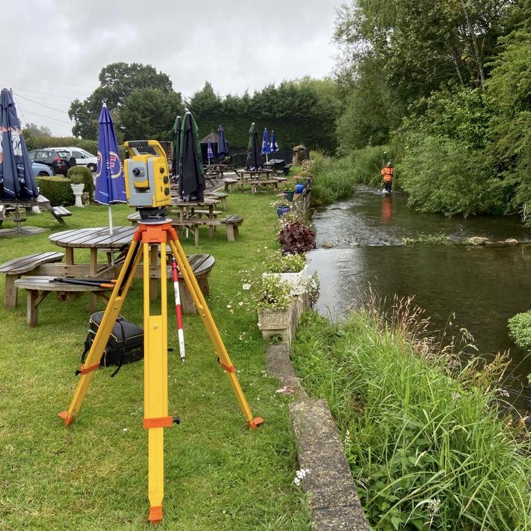
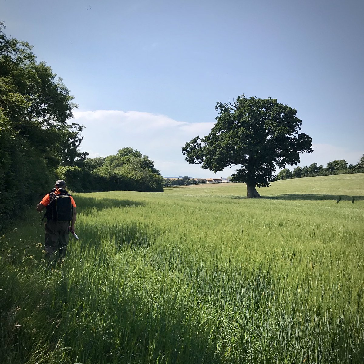
Busy surveying 33km of the Derwent in #Yorkshire this week collecting above and below water line data for our client to assess and improve wildlife habitat.
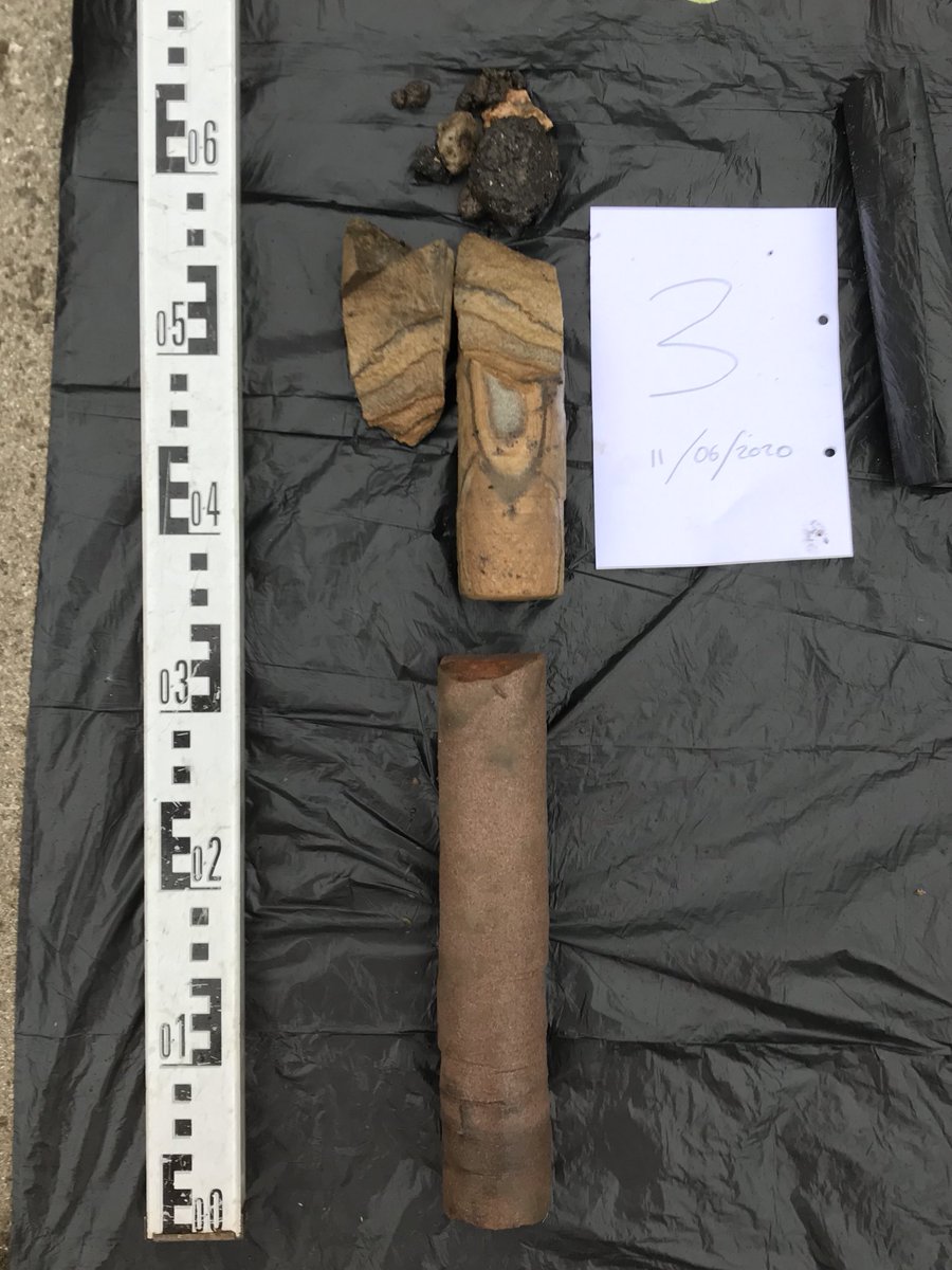
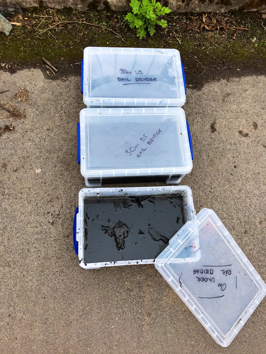
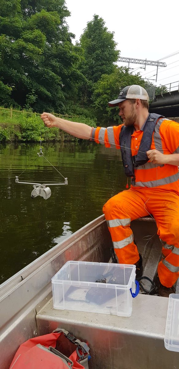
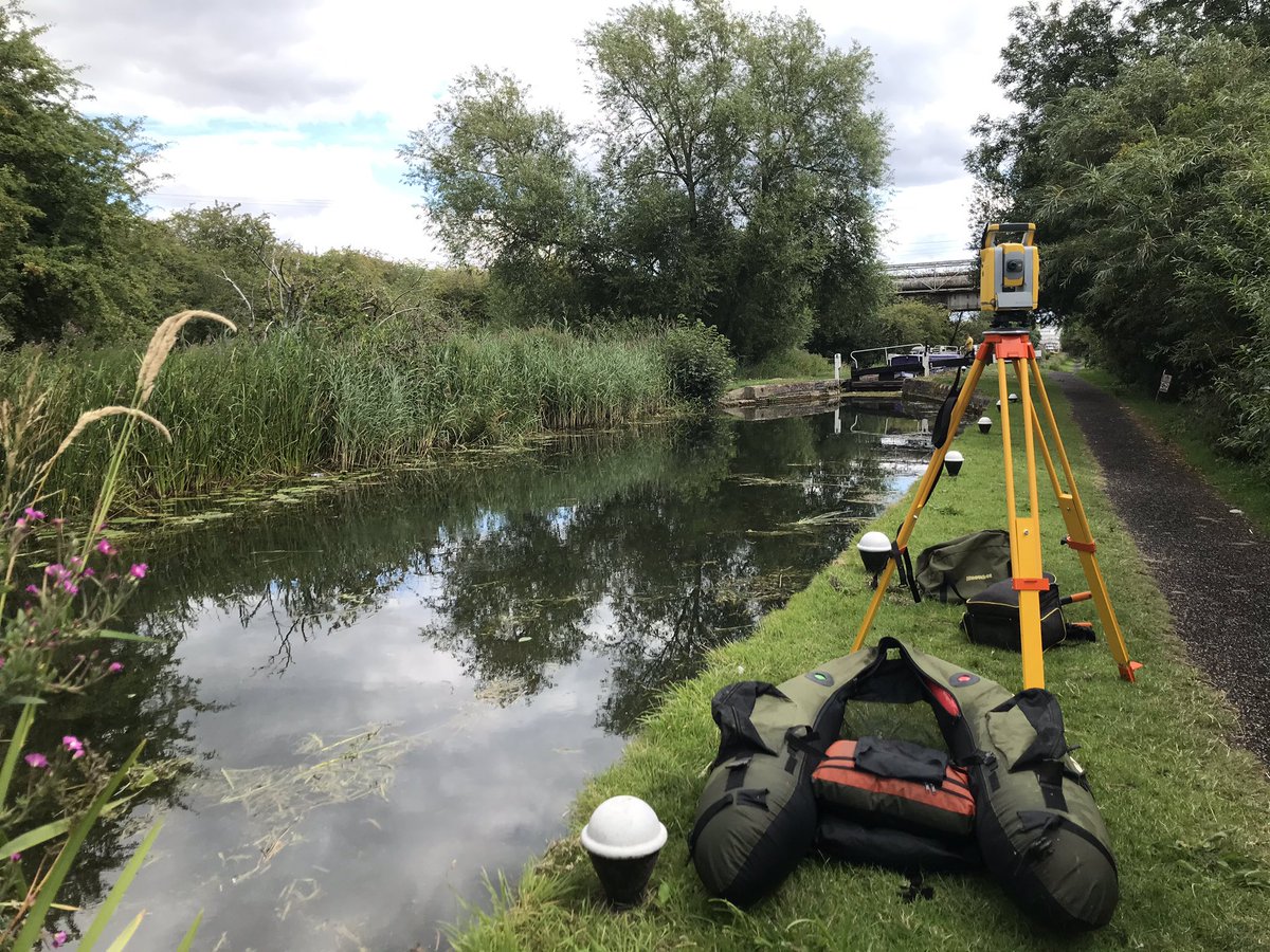
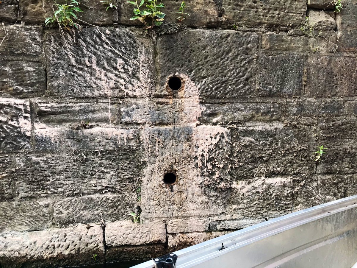
Did you know that @StormGeomatics offers a range of alternative services whilst mobilised on site? Along with a full topographic survey, this week we have collected silt samples and core samples along a stone canal wall. Get in touch with us to find out how we can help!
Captain @TobyMoyse_SG with first mate @SamDexter_SG carrying out a full soft and hard bed survey of the River Rother in central #Rotherham this week in preparation for flood defence works
Listen live as tales of a River Surveyor takes place over on Instagram TV LIVE at 4.30pm BST-Tuesday 9 June. We will be chatting to @ElaineBallgeo Geospatial Marketeer about the frills & spills of life at Storm Geomatics. Ask questions,swap stories, laugh. #community#geospatial