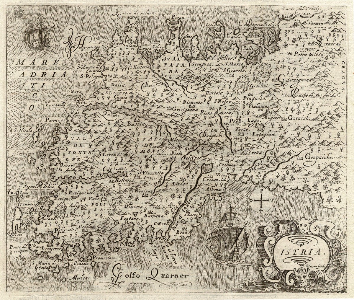
The fourth edition (of seven) of the T. Porcacchi's "Isolario" (atlas of islands) was the first to have the #map of #Istria included, the final addition to the atlas originally published in 1572 with 30 maps engraved by Girolamo Porro.
**New maps!!** (on the website!)
694 *unpublished* OS 'blue-and-blacks', which show revisions of Scottish 25 inch maps (1890s-1940s) that were left off the pub'd maps. I.e., security deletions such as military sites. Here's Crombie RNAD:
More info-> https://t.co/hVURJKrlNF
Day 3/3 of the legacy of the first printed map of Hawai'i. Here, we see Cook's influence via Vancouver, who sailed with Cook and led his own expedition.
Arrowsmith, 1832, https://t.co/FMRxsQ1bgR
#Hawaii#maps#exploration
On this 1883 Italian map lay the Encantadas, or Enchanted, or due to the grand tortoises that lumbered there, the #GalápagosIslands. Melville encountered these isles and viewed the archipelago with a cold eye, as "heaps of cinders dumped here and there." #maps#HarvardLibrary