🚨Aguacero 6.12 is live
📈 Rebuilt meteograms with full ensemble member grids
🎲 Build your own ensemble probability variables
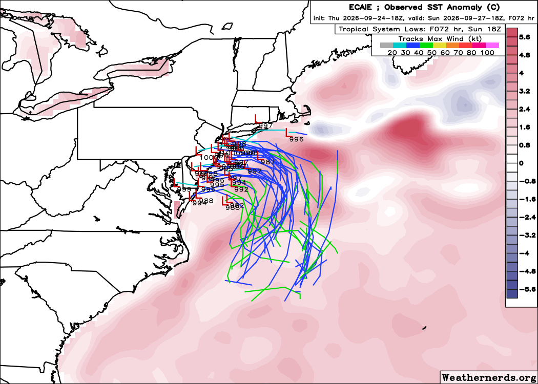
🌀 Ensemble high and low tracks
🆓 ECMWF, GDPS, NBM and RGEM now on the Free plan
❄️✈️ New NBM winter and aviation fields
🇯🇵 AMeDAS weather stations
📡 Bring your own radar feeds
💾 More saved bundles
🖥️ https://t.co/Ib58jFwQO9
📘 Meteograms guide: https://t.co/SFFAZVDrDK
📘 Ensembles guide: https://t.co/mbBYwpkU3U
@danrothenberg@oliviali_@recast@realmilancurcic From my time working at TempoQuest in 2021, and seeing the amount of effort (time and money) of porting first hand back in the day; yeah this is incredible!!
We open-sourced our GPU port of WRF and named it WOOF (Weather Observations and Operational Forecasting). We want everyone to have access to fast and cheap weather simulations.
Run your own simulations at https://t.co/lQkKIURLD6
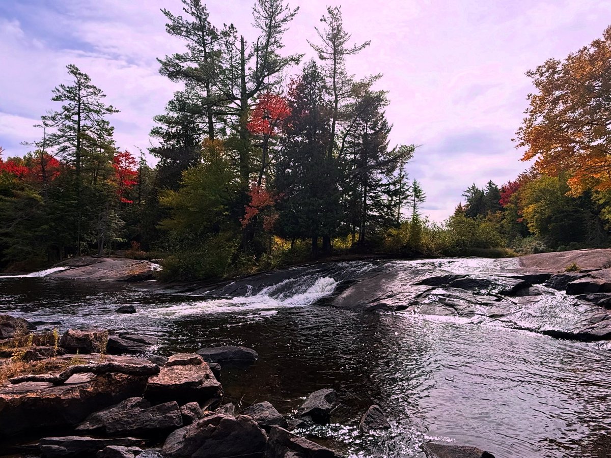
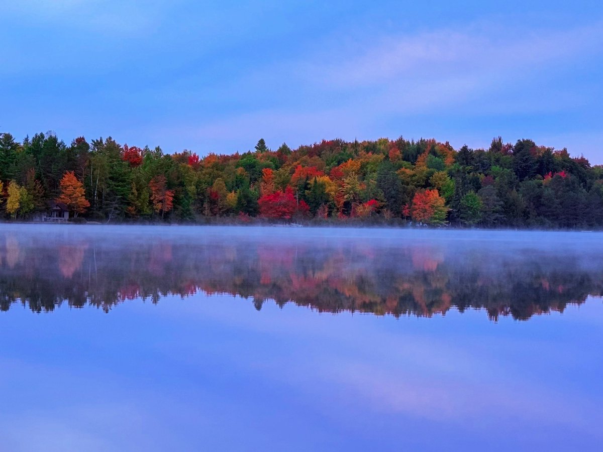
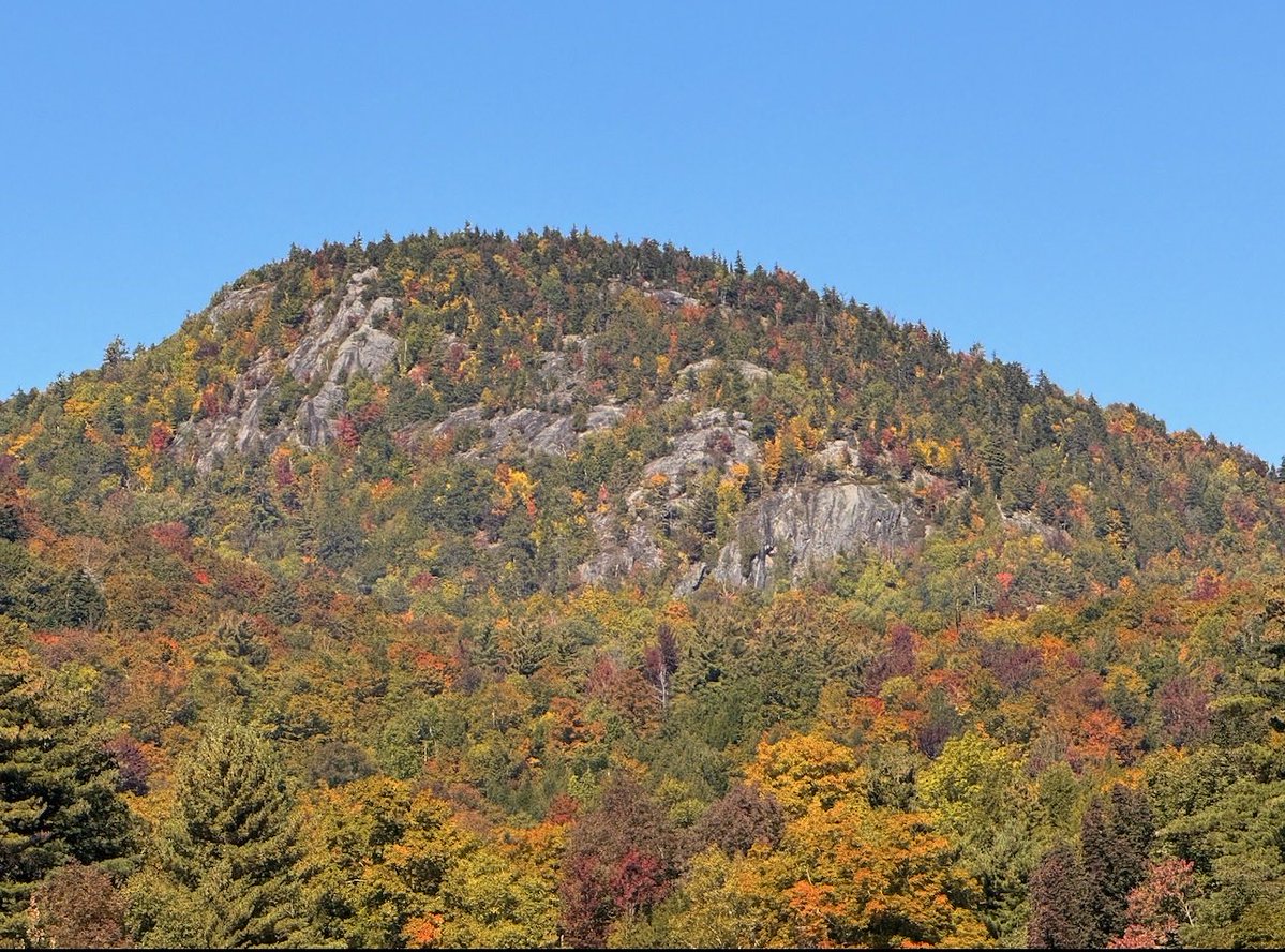
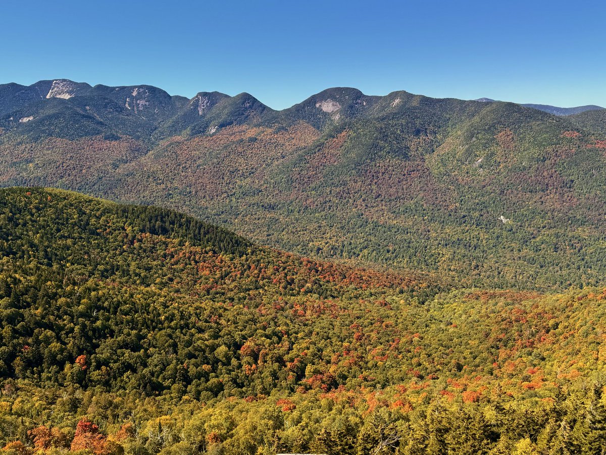
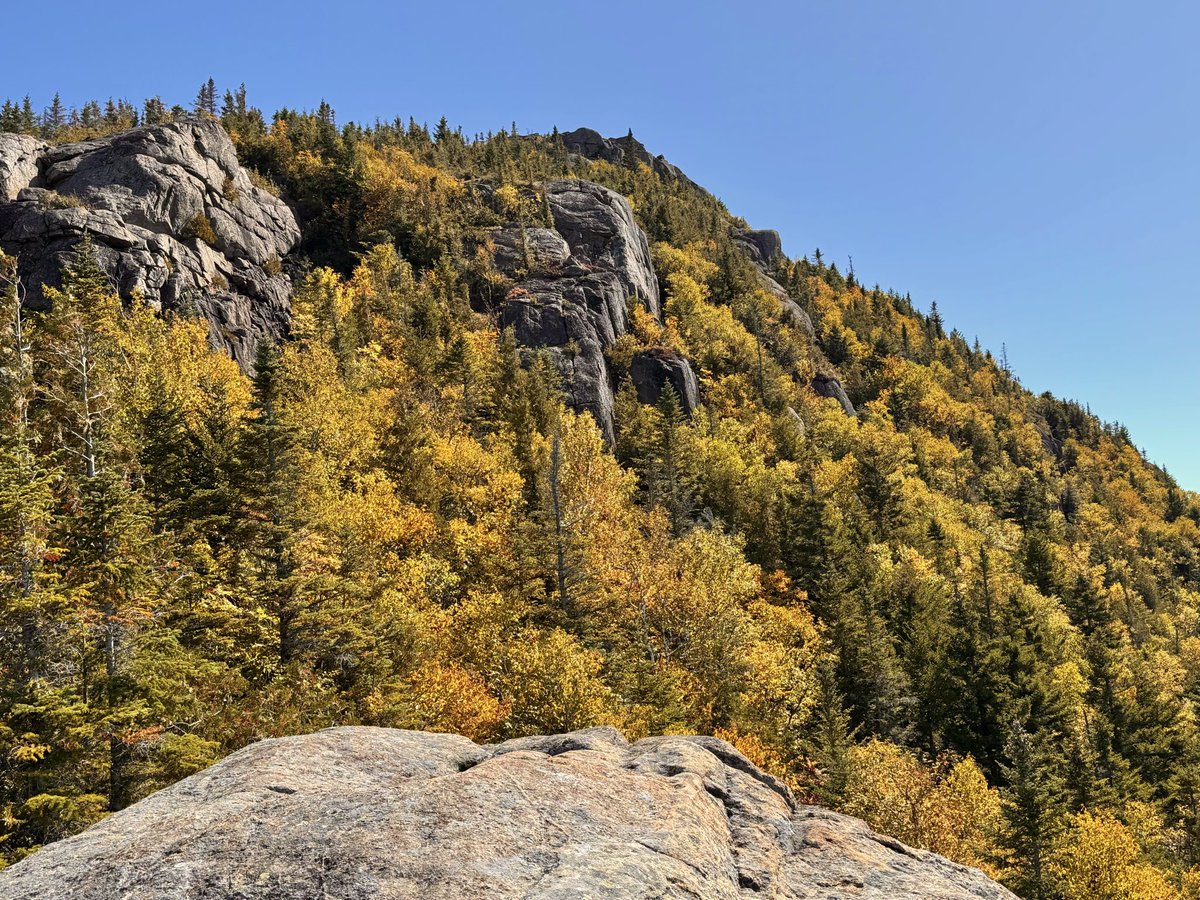
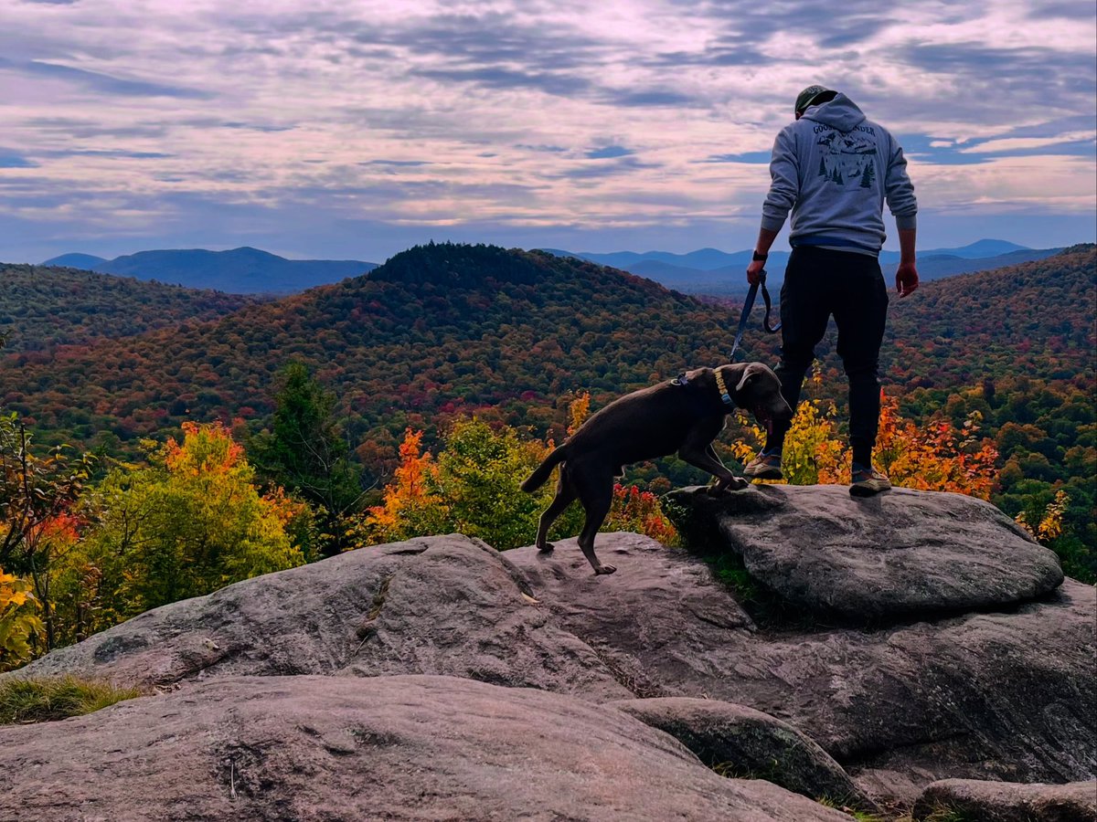
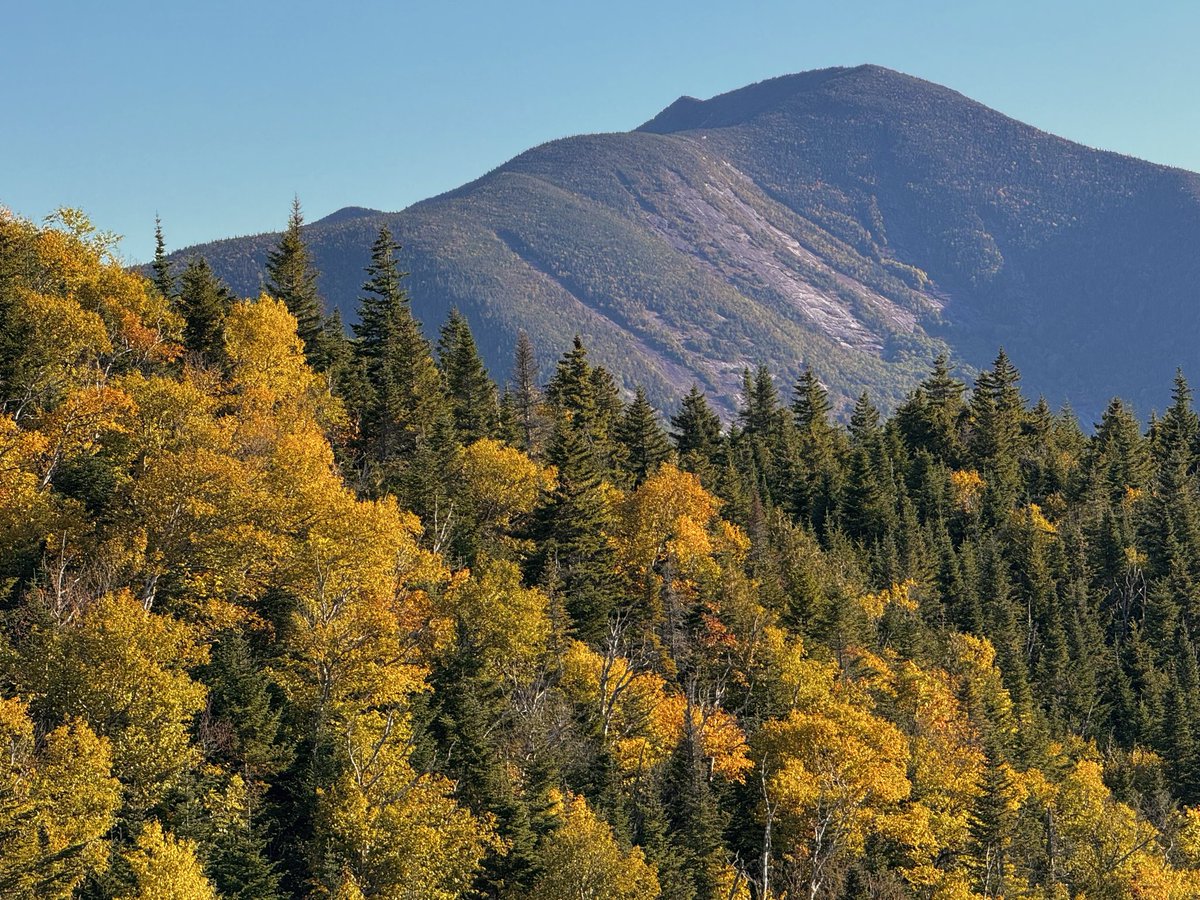
Fun weekend in the Adirondacks. Feat. Nimbus first hike. Despite Nor’easter to the southeast, managed to get filtered sunshine and beautiful sunsets with high clouds around. 🍂🐾
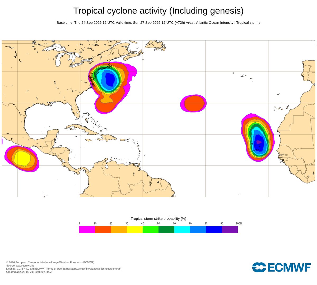
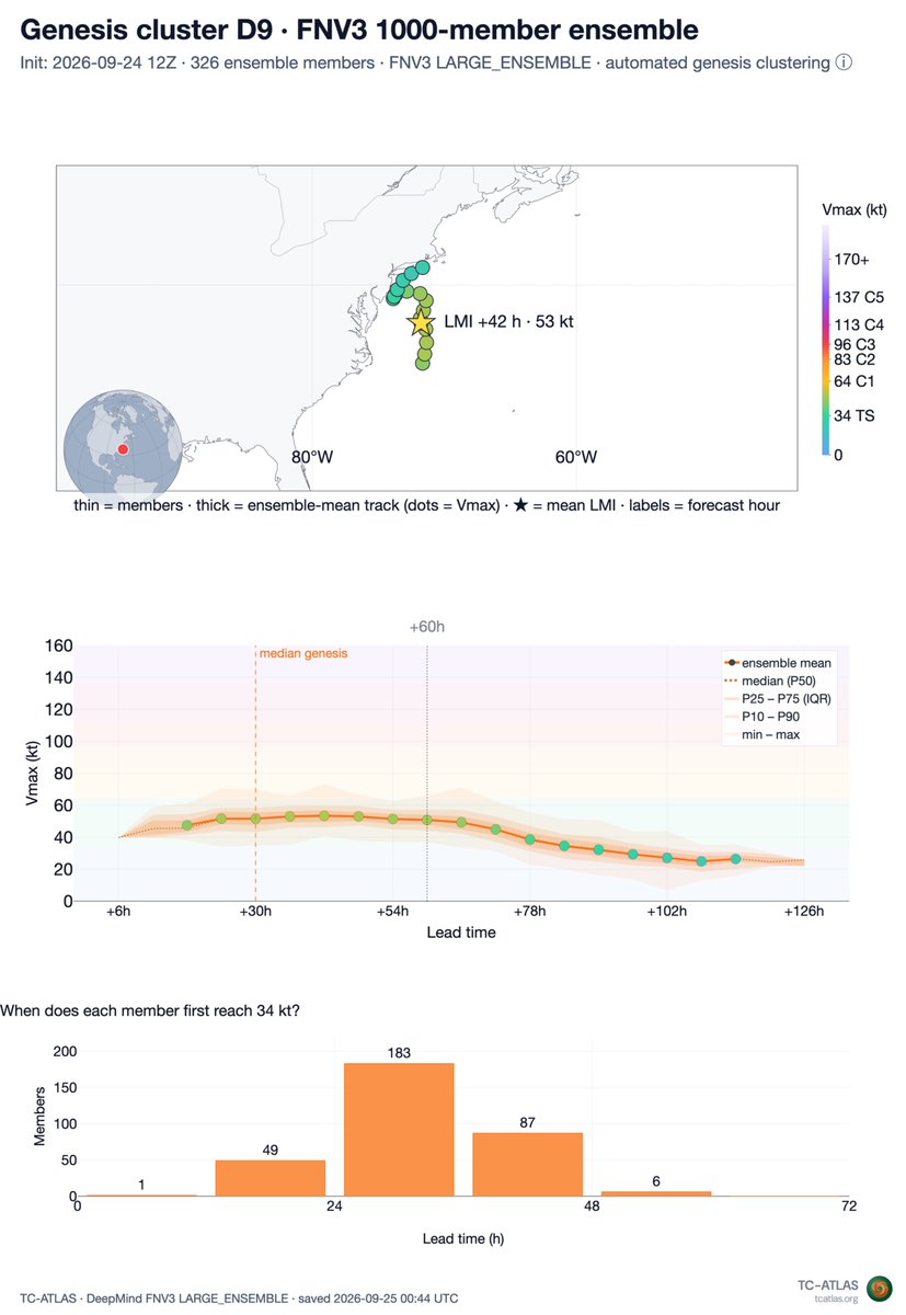
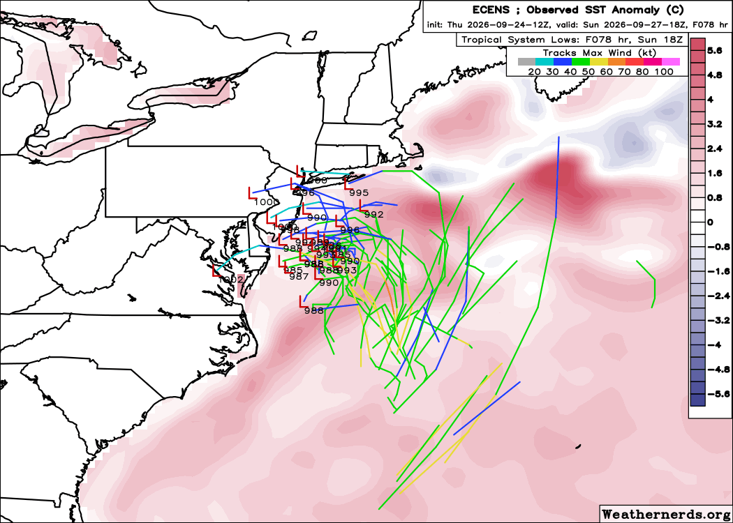
Google DeepMind shows a 33% chance of a tropical storm. ECMWF's tropical cyclone probabilities from EPS & AIFS exceed 80%. Surely that means this nor'easter will be a tropical storm, right?
Short answer... it's not that simple.
Breaking down why in this thread 🧵
@danrothenberg@chris_dalke Wx becoming easier and cheaper, leaves room for more time/money to spend focusing on these decision-making trees. Will it lower the amount of effort? Or is there a counter-where AI is increasing the amount of data going into the decisions? Whats the value of raw wx data then?
@danrothenberg@chris_dalke Part of that is because weather itself is only part of an often longer multi-inputed decision making tree. And depending on the industry, these inputs in to decision-making can be dramatically different.
Many investors in market don’t get that; leads to over investment.
1000% agreed on this point.
I think that we continue to see commoditization of weather products, at least in what we have traditionally deemed as “weather products”.
@chris_dalke Having worked in this industry for 10 years, it's not obvious that "better data" -> "better forecast" -> "better product" actually leads to "more value". Usually there's more effort and focus involved.
I have been putting ChatGPT Astra through a pretty ridiculous test of building broadcast weather software for NCSU.
This kind of thing would have probably taken me 2-5 years of full-time development trying to learn Direct3D. I built this in a weekend.
Our team just released WeatherNext 3, the best global weather model currently available (benchmark: https://t.co/xvzOmUougo).
WN3's high resolution, hourly forecasts are more useful than ever. You can access them anywhere on Earth via Weather Lab: https://t.co/FkCFslI0iD
Certainly one of the more impressive days we’ve had for Saratoga area in a while. A couple takeaways;
- importance of 3K CAPE and 0-3km lapse rates
- despite having modest very low level speed shear, directional shear was impressive
-Terrain did impact evolution imo
Yesterday was a busy weather day in NY!
There were 5 tornado warnings, 31 severe thunderstorm warnings, and 9 flash flood warnings. There were also numerous wind, hail, and flooding storm reports as of this morning. We are also waiting on the designation of at least one tornado.
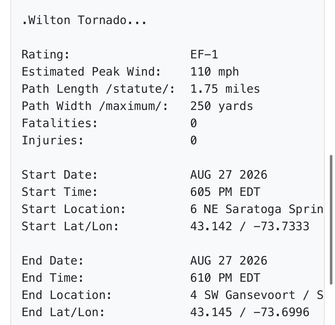
NWS Albany has completed their surveys and two tornados have been confirmed from the supercell in Wilton, NY yesterday. A brief EF-1 and EF-0. I did document both, and that means I nabbed my first EF-0! #NYwx
A tornado touched down near Wilton on Aug. 27, 2026, as a round of severe weather swept through the Capital Region, according to the National Weather Service in Albany. The survey team is continuing to evaluate the damage.
https://t.co/YqUJzQR55K