It always amazes me how quickly OpenStreetMap mappers get to work after a disaster.
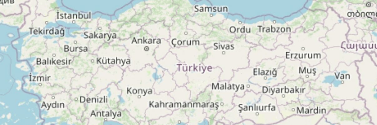
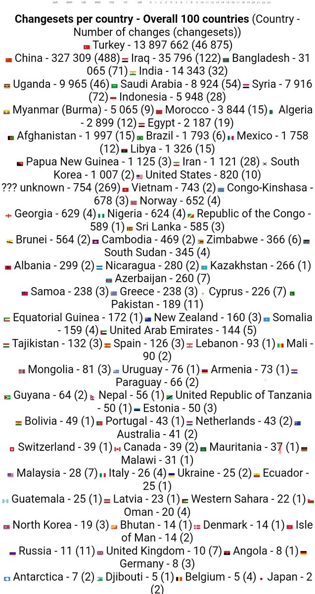
In the week since the earthquakes in Turkey, they’ve added nearly a million buildings to the affected areas.
Well done #hotosm and everyone who contributed.
Your @OpenStreetMap contributions save lives
Wonder if your contributions help the rescue teams?We heard back from AKUT and AFAD coordination officers and wanted to pass their messages.
“Thanks for mapping affected areas to support our rescue coordination, infinite thanks!”
More @maproulette Tasks for Mapping Damaged Buildings
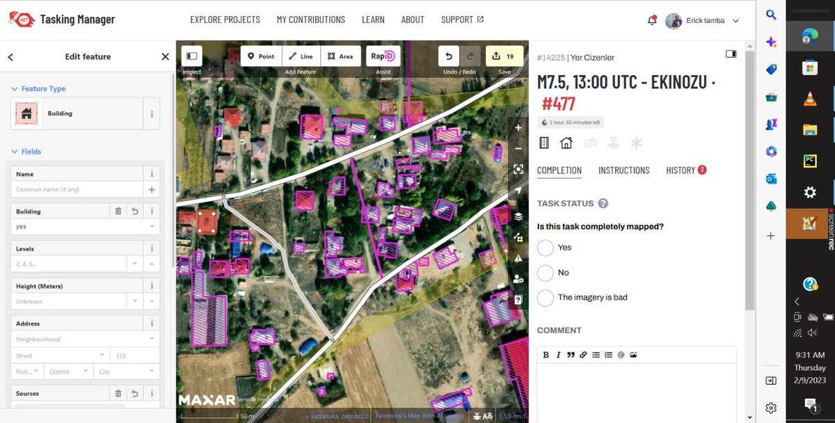
We generated more tasks on MapRoulette. Damaged buildings are digitized from Pleiades Worldview 2 imagery by @uhuzam . We look for your support to add these damaged buildings to OpenStreetMap.
https://t.co/EIy9GTVf3L
Haritalamaya katkı veren herkese çok teşekkür ederiz!
Aktif haritalama çalışmalarına https://t.co/1ztarQksPD adresinden erişebilirsiniz.
@hotosm@openmapping_ap
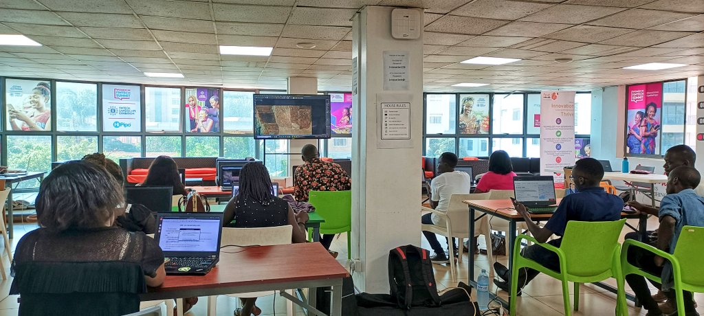
#Mapathon happening now, @osmuganda, @OMDTZ & OSM community members mapping #Turkey and #Syria in response to the earthquake.
Join the community in mapping the tasks below for response.
Turkey: https://t.co/bAmmFPPqWp
Syria: https://t.co/p7VRJrbhZl
#disasterresponse#opensource
@btmnbld Merhabalar, belediyenin yaptığı bisiklet yollarını haritaya ekleyerek bisiklet sevenlerin ellerinde bir kaynak olmasını sağlayabiliriz. Yardımcı olursanız aşağıda linkte belirtilen haritaya ekleyebiliriz. https://t.co/Aksjx0Y0nz
Sürdürülebilir Şehirler İçin Gönüllü Coğrafi Bilgi (GCB) Kadıköy Haritalama Atölyesi 10 Eylül Cumartesi günü 13:00'da yapılacaktır.
Kayıt linki : https://t.co/zT9jAB5y7R
@FNFTurkey @TESEV2015
@by_siverekli Merhaba, geç cevap verdiğimiz için kusurumuza bakmayın, haritaya eklenen veriler farklı katmanlarda görünmesi zamam alabiliyor. OSM sayfasında rota katmanına yansıması birkaç gün sürebilir. Muhtemelen oluşturduğunuz veriler çoktan yansımıştır.
10 Kasım Çarşamba saat 20:00'de, Openstreetmap ve özgür haritacılıkla ilgili bir araya geleceğimiz etkinliğimize herkesi bekleriz.
Kayıt için : https://t.co/IJcgd6U5wM
Photo via Pexels, thanks to @shkrabaanthony
@envanteratlasi Elinize sağlık, güzel çalışma olmuş, elinizdeki veri setini kml. formatında bizimle paylaşırsanız openstreetmap haritasına aktarmak isteriz.
Unmapped towns in Turkey task is live @maproulette!
There are 120 unmapped towns which are added to @openstreetmap as points but do not have any roads in a radius of 700m. Unmapped towns are taken from @pascal_n's Unmapped Places of OpenStreetMap.
https://t.co/TnAjrU3Qrj
2020 Sonu itibariyle Türkiye haritasına eklenen verilerden birkaçı. 2020 sıkıntılı bir yıl olsada Türkiye haritası açısından verimli geçti. Umarım 2021'de daha güzel sonuçlar çıkar.