For a variety of reasons we have decided to close this @X page.
We would love to stay in touch with all of you, so please follow our LinkedIN page: https://t.co/ZiZJG6R1B4 to keep up-to-date with our latest news and events.
This page will close 12.04.24
@CAupdates You want to protect chasing a single animal with a huge pack of other animals that rip the lone animal apart after subjecting it to hours of exhausting terror?
Many congratulations and best wishes to John Bone as he takes up his new role of COO at @orbexspace, Europe’s leading private launch services company.
#britishSpaceIndustry
Researchers at @cardiffuni & @worcester_uni find that #beaver-like dams can enhance existing #flood management strategies for at-risk communities:
https://t.co/ElB4LE8ybd
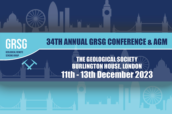
WE WANT YOUR ABSTRACTS! The @GRSG_GeolSoc Annual Conference will be in London this December and now is the time to submit your work: https://t.co/wSXwtFDtb4
'When We Cease to Understand the World' by Benjamin Labatut is perfect #scicomm writing that blends fact and fiction to illuminate the #German geniuses who did so much to develop #mathematics and #quantum mechanics.
An absolute #mustread!
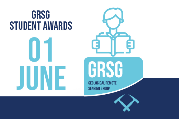
If you are a #student who needs #financial support for your #remotesensing and / or #geology#PhD or #MSc studies, then apply for a #GRSG Student Award of up to £500:
https://t.co/Qzvh0iR4Pm
The closing data is 1st June 2023 & you can become a member for only £10 a year!
Delighted to receive an #Esri Cornerstone Partner.
The award reflects our work applying #ArcGIS technology to #energy workflows, integrating #mapping & #location analytics into enterprises and training thousands of energy professionals to use ArcGIS.
https://t.co/IpCSHKIyYg
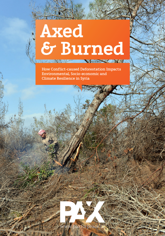
'According to the report, from 2011 to 2021 the governorates of Latakia, Hama, Homs and Idlib lost 45,320 hectares of tree cover — more than 36%.'
#remotesensing#earthobservation#migration#osint
The war in #Syria has decimated close to half of the country's tree-cover, @PAXforpeace finds in its latest in-depth study on deforestation. Based on satellite analysis and #OSINT, the reports quantifies this impact and outlines why it matters. 1/x🌲
https://t.co/P1tAMTcLQZ
Struggling with the @NSTAuthority regulatory reporting of UKCS offshore infrastructure data? Check-out this blog written by our #GIS experts with some handy tips and tricks to help streamline your projects.
https://t.co/P8sydlQyqt