I’ll be heading to @NottinghamRugby tomorrow for their #nffc pre-match fanzone. They were badly flooded earlier this year & could use the support. 👍🏼🏉⚽️🍺🌳
So the great short video I was involved with about Brimham Rocks has gone live - link below ☺️
If you’ve never been to Brimham Rocks it’s well worth a visit - great landscape, super beautiful and of course awesome rocks!
@BritGeoSurvey
https://t.co/VfvivcNCle via @ITVX
@NRCan@Harvey01957@BritGeoSurvey@Virtalis@geovisionary Thanks Harvey! Yes, GeoVisionary is tailor made for this kind of remote investigation, or virtual field reconnaissance as we've termed it. Please get in touch if you would like to know more.
@NRCan@Harvey01957 You might consider using GeoVisionary for this kind of thing. The British Geological Survey routinely uses this software for inspecting 3D data for mapping, virtual field reconnaissance and exploration. @BritGeoSurvey@Virtalis@geovisionary
🗺 Survey Geologist Vacancies 🗺
Are you a geology graduate, postgraduate or professional looking for the next step in your career?
We are recruiting survey geologists to help deliver BGS’s National Geology programme of mapping & modelling for the UK
https://t.co/df8BCmrQJz
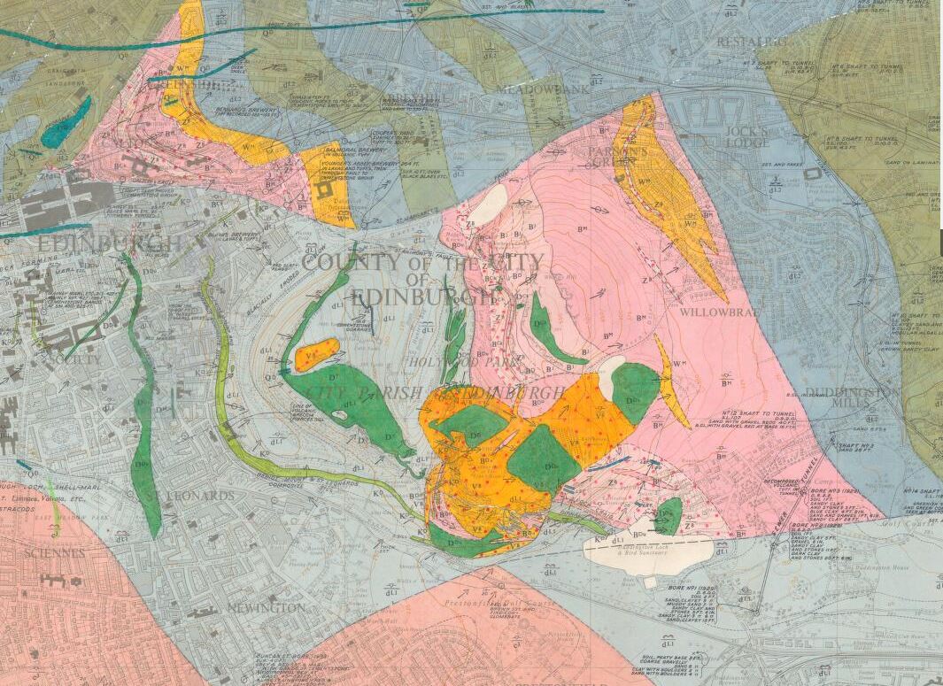
Classic geology: Arthur's Seat - an ancient volcano. One of 39,000 1:10,560 maps released today on the @BritGeoSurvey Maps Portal @Rachel_Esmee
https://t.co/hslQKKuKEW
I've written a blog post about why I'm on #strike today. It shows how the public sector pays £32k for a "software developer" where the private sector pays £35-70k. We struggle to recruit and retain staff and services are suffering.
https://t.co/CFZvRCcAsf cc #prospectstrike
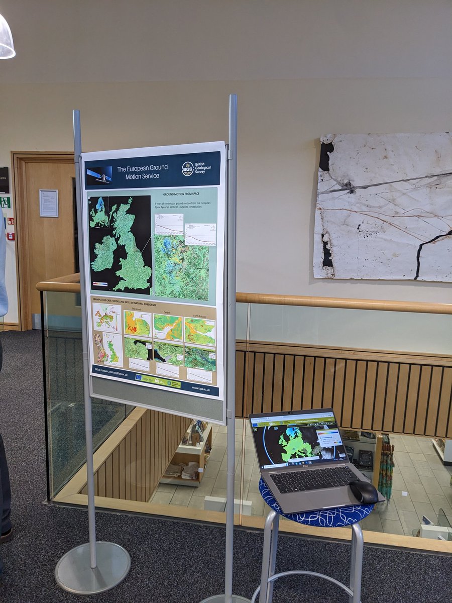
The @GeospatialC is at the @BritGeoSurvey today. As a partner organisation in the commission it's important that we work together to harness the power of geospatial data for UK PLC. I'll be talking about the benefits of the European Ground Motion Service.
Did you know that when a borehole is drilled the information gained is often only used once?
That is changing with the addition of a new requirement to the #Construction Playbook that will enable greater access and reuse.
Find out more in our new blog:
https://t.co/nlTFdhK2Z4
The re-launch of the Construction Playbook means it is now a requirement for public sector projects that any ground investigation data collected should be shared as soon as reasonably practical with the British Geological Survey (BGS).
Just us tomorrow and Thursday for @GEOBusinessShow at @ExCeLLondon.
We'll be on stand GB51, showcasing the various datasets and services that we have on offer, with live demonstrations through GeoVisionary.
#GeoBiz
Our new data product, GeoCoast, brings a whole range of data together to help inform & interpret our coastal environment. Here, we explore how six areas of our coastline are changing and their potential vulnerability to climate change.
Read more:
https://t.co/4FWNgvPdL2
The clever people at @NASA have created this deceptively simple yet highly effective data visualisation showing monthly global temperatures between 1880-2021. Watch until the end...
Learn more here - https://t.co/yvLKEgcIZ7
#ClimateEmergency#ClimateCrisis#climate
🚨Job Alert!
The @BritGeoSurvey has two exciting positions open for a Public Engagement Office and an Assistant to be based in our London office in the @NHM_London.
Link to adverts: https://t.co/RIevhCdkha
https://t.co/zjHjDQZ4ty
Please share with your networks!
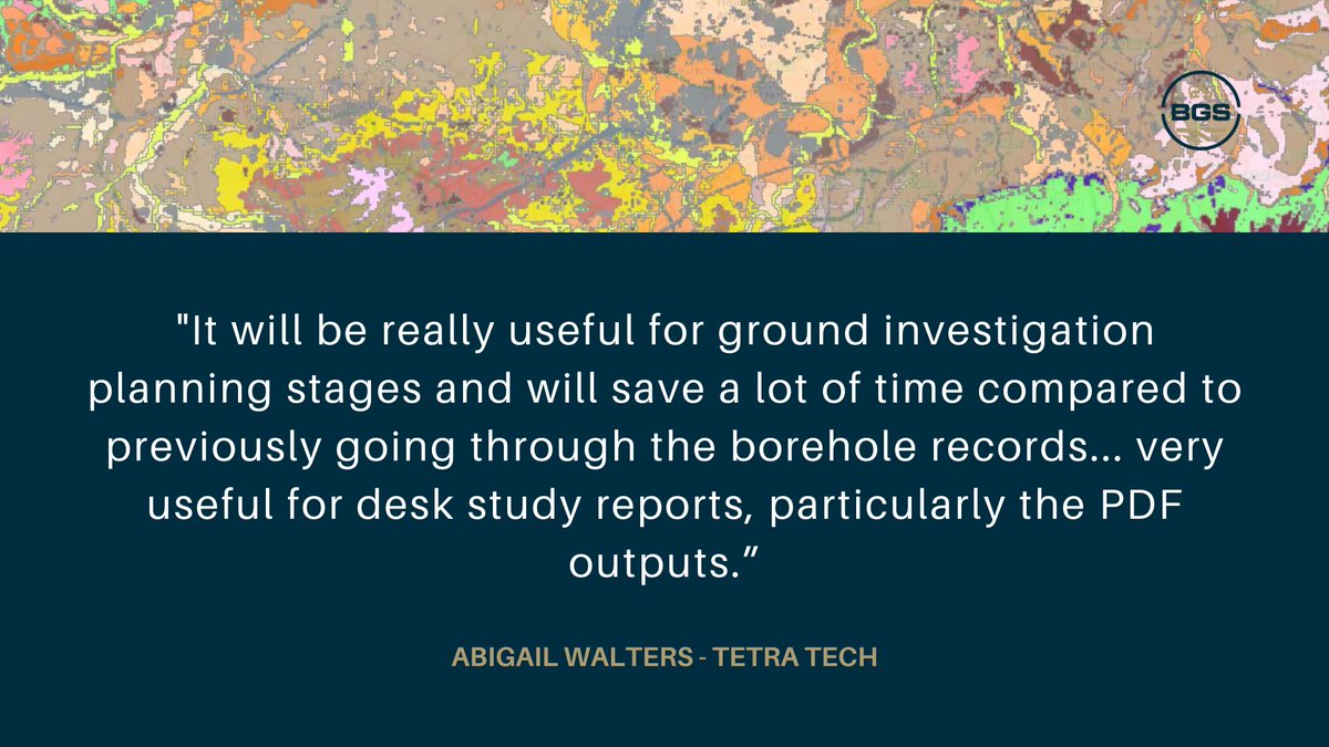
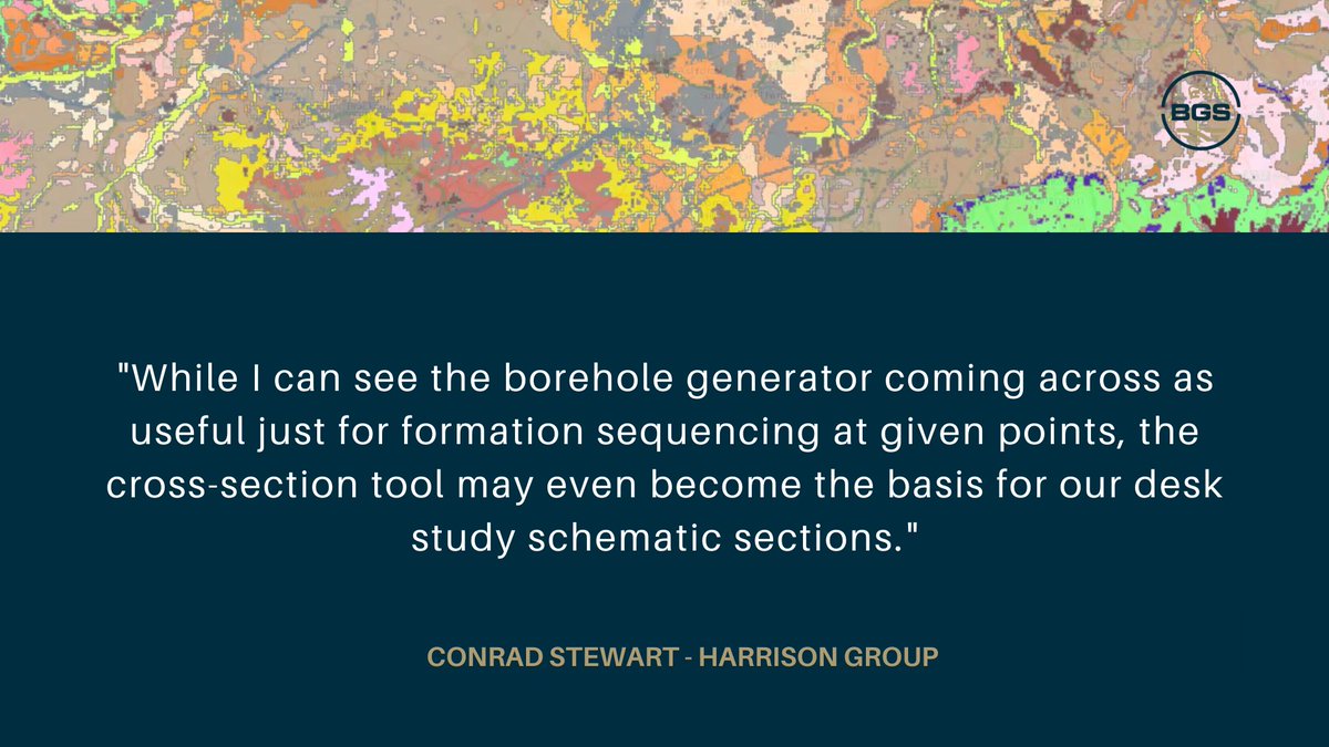
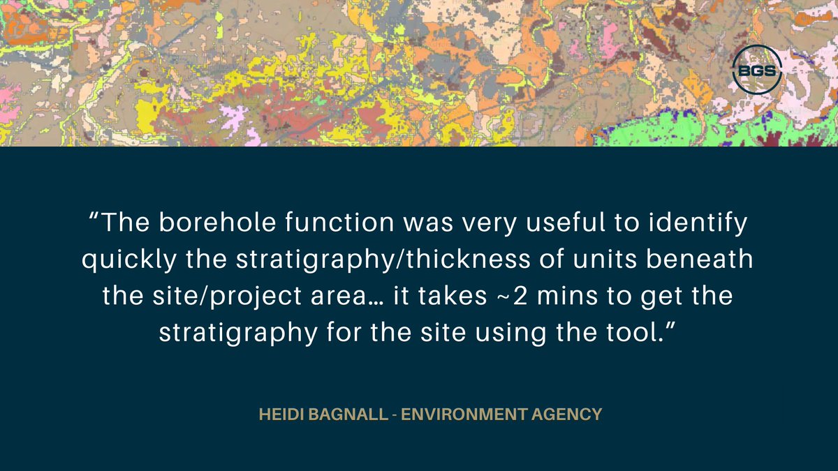
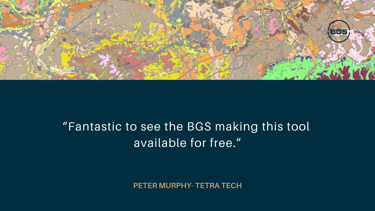
A new tool providing free user access to 3D geological models has been added to GeoIndex. Below you'll find feedback highlighting the tool's ability to inform the development of conceptual ground models & early-stage planning.
Read about GeoIndex here:
https://t.co/Ffw1F3MxOe