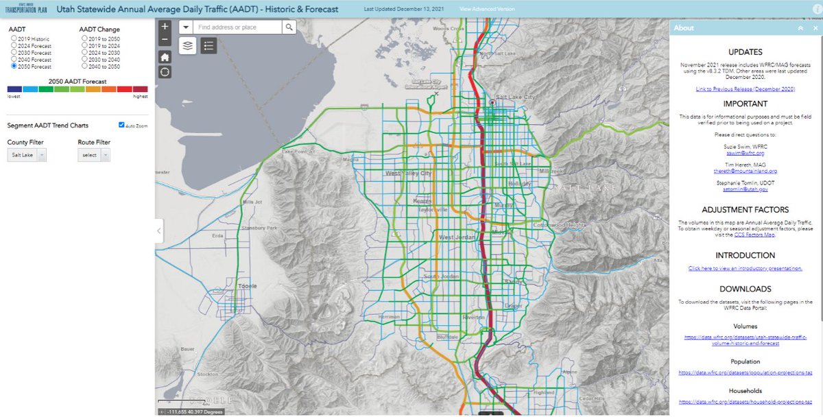
@MapUtah Great info…glad to see the UTLA services back up and running…awesome to have this dataset streaming live as it’s core info for so many application areas.
@WasatchCouncil has developed a series of GIS-based applications to help planners and the public understand growth in the region. Read the case study: https://t.co/VMKjEKVeFV
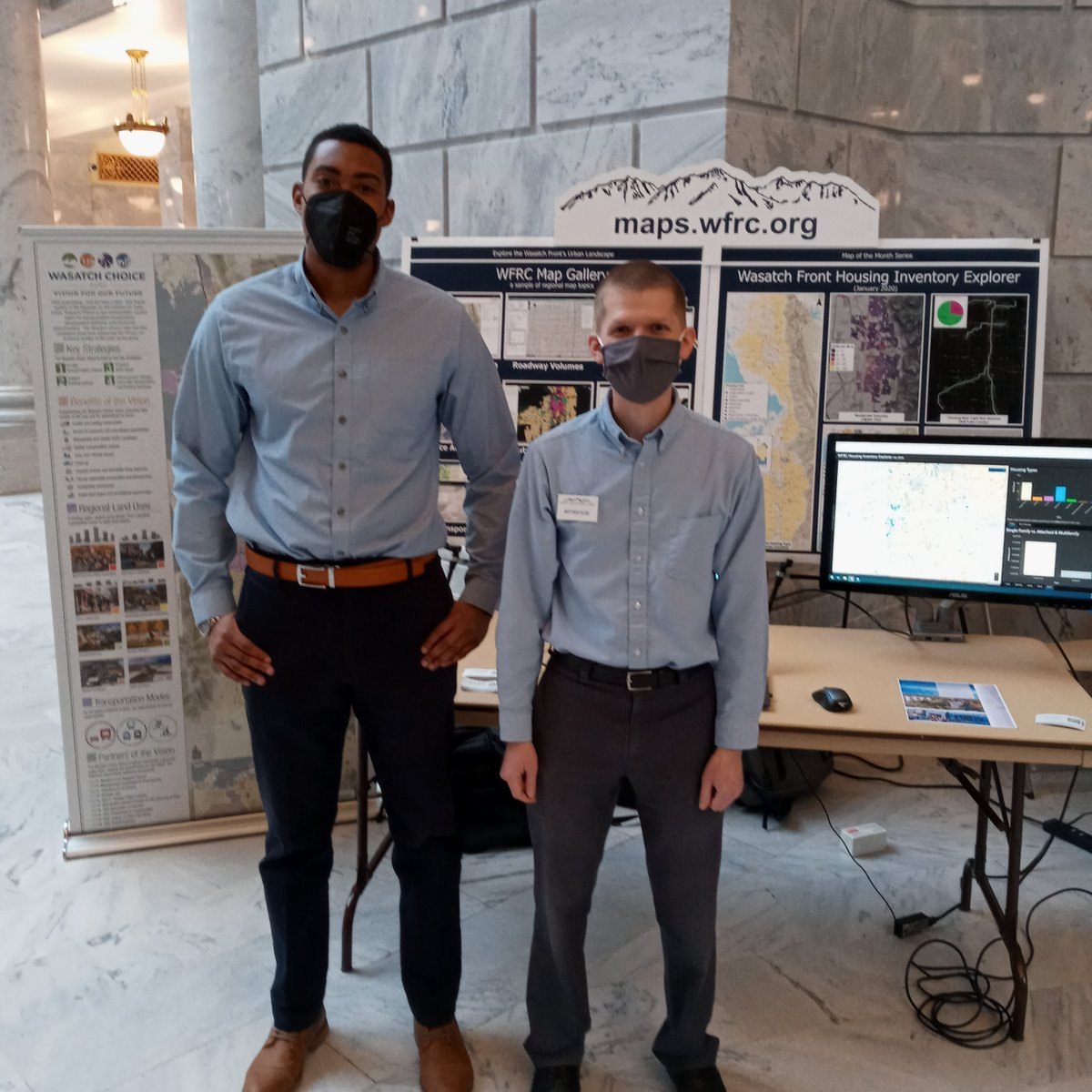
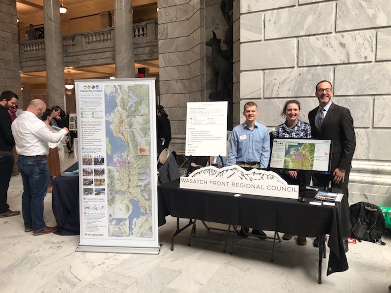
Maps on the Hill was held in the Capitol rotunda today, and WFRC was excited to present the new Wasatch Front Housing Inventory Explorer. Explore the map at https://t.co/GF9SIPhpVc. Thank you to @ugicutah and @MapUtah for putting on today's event.
WFRC staff proudly displaying the award winning Wasatch Choice 2050 Vision during today's Maps on the Hill event at the Capitol! The Vision map and key strategies show how advancing the Vision can enhance quality of life even as we grow. Thank you to all of our partners!
@rdbutger Helped dig out friends cabin this afternoon that was grazed by avalanche...we moved 15 tons on snow just to get the front door open...only damage was broken windows and a pile of snow inside
Newly updated #WasatchChoice 2050 regional vision map and @MapUtah statewide map complement our flags to provide an attractive background for the first @WasatchCouncil meeting of the 2020.
"Maps are the foundation of our democracy!" Dan Ross, @SLCBert, @MappingMelon, Mary Fulton, and Tony Simental sit on a panel led by NSGIC's @JChesserNSGIC to discuss how they began the journey to geo-enable their states' election system. #NSGIC19#GeoEnabledElections#elections
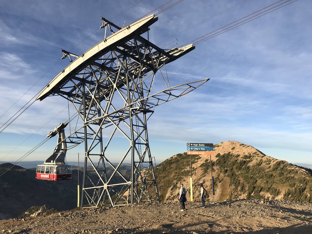
So great to have many of my favorite people in one of my favorite places this week for @nsgic annual...first boatload arriving at the summit social #nsgic19#giselevated
Here’s what you did last month!
https://t.co/IK8MuTsHun handled 3,433,660 requests for 496 users with 1224 api keys.
https://t.co/aW7MYLWPNP served 25,705 pages to 9,494 people.
https://t.co/UZPqULAylz served 44,739,237 requests for 990 user accounts.
#agrcanalytics#utmap