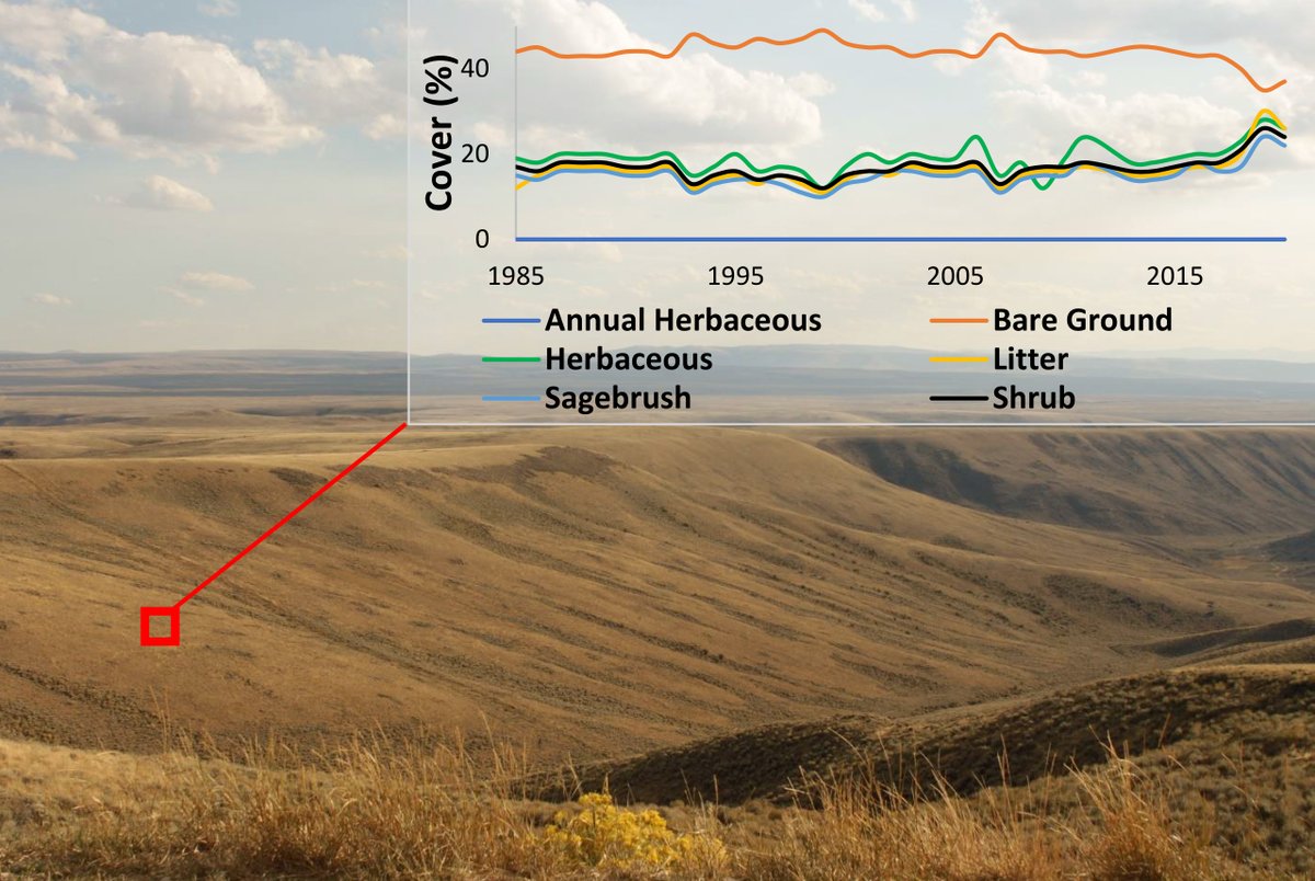
In our new video, find out how RCMAP characterizes conditions and changes to rangeland in the western United States! You’ll also see how RCMAP data, which covers the years 1985-2024, gets put to work. Here’s a teaser, but click to view the full video: https://t.co/AkkJpZUyym
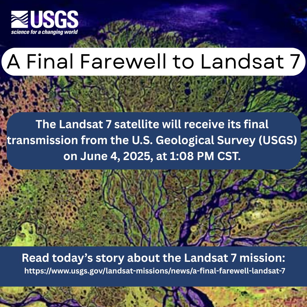
Remembering its 25 years of faithful Earth observation, the USGS and NASA announce the decommissioning of #Landsat 7 from active service June 4th.
Read more here: https://t.co/VYPMec1le7.
The EROS Center is home to the world’s largest civilian collection of #SatelliteData and #AerialImagery, data products, and more. May this #HolidaySeason and the new year bring you opportunities to explore the world, whether through the EROS archive or your own adventures.
Get ready to summit the world, one peak at a time! Join us on a virtual adventure as we countdown to #InternationalMountainDay. Over the next week, we will explore the #SevenSummits. Today, on Day 1 of Peak Week, we celebrate the iconic #MountEverest of Asia.
#Landsat#SRTM
#ElonMusk My friend Laura Jean is an inspiration. ALS hasn't stopped her from raising 3 kids and writing books. But she is running out of time to keep communicating https://t.co/i39sMZjY0X
The EROS archive—there’s nothing like it on #Earth!🌎 It holds #Landsat's faithful images of #OurPlanet, which have been freely available since 2008. It also houses numerous #AerialPhotos and #SpacePhotos, including #Declassified collections. More here: https://t.co/NYLUjEj5Zk
52 years ago today, the U.S. launched Landsat 1, the 1st satellite built specifically to observe our ever-changing planet. Today, @USGS scientists & engineers are developing the Landsat Next mission to dramatically expand our understanding of the world. https://t.co/EcLLqWSB7B
Preserving habitat. Balancing land use. With the latest data release, Rangeland Condition Monitoring Assessment and Projection offers land managers more tools to do their jobs—and reduced error, too! Learn how the project keeps improving:
https://t.co/w2I89sU5B1
Go, Team EROS! Inside our 60-foot dome, our 10-meter antenna catches every pass that Landsat 8 or 9 throws—with a swift swivel in the middle to intercept every pixel of data. 📡 Check out our radome stats: https://t.co/JeLy87I8TE
#SuperBowl
At around 7 p.m. this evening, drivers on the Eastside of Sioux Falls got quite a surprise. Almost a dozen horses were walking EB on E 26th St. It is believed they got out by the E 26th St and I229 area. Thankfully, no one was injured in this incident.
RCMAP released a new generation of fractional component data for Western rangelands, 1985-2023 time-series. What’s new: A shrub height component + 17% lower error compared to BLM-AIM data, vs. the previous generation. Download data here:
https://t.co/RxKryjUJrI
The Grand Ethiopian Renaissance Dam (GERD) is finally full! The massive dam, twice as big as Lake Mead in the U.S., generates electricity and helps regulate water to avoid flooding and drought in Africa. Details and more imagery in our Earthshot:
https://t.co/X2cY2e9gV2
Feliz NDVI—nope, not a typo! NDVI stands for Normalized Difference Vegetation Index, an important way to measure how green and healthy Christmas trees and other plants are around the world. (5/5) 🎄 Read more here:
https://t.co/HOg550fVuA
I’ll Radome for Christmas 🏠 Might seem like a stretch, but our radome really IS home to our 10-meter Landsat antenna, protecting it from weather and dust! 📡 (4/5) Watch this video to learn more:
https://t.co/gkclsfqvjz
🎵 Deck the Halls with Earth As Art 🌎 No, really—you can download our glorious images from around the globe to print and hang in your home! Warning: You’ll have a hard time choosing … (3/5)
https://t.co/AjBfZ9aoWM
Our latest hit is We Three Birds of Landsat Next Are 🎁 The best Christmases are yet to come, with a new trio of satellites bearing gifts from afar: 6-day revisits, 26 spectral bands, and 20 times the data! (2/5) Learn more about our newest mission:
https://t.co/LazdMGmC2m
🎄Sing along with EROS for #GoCarolingDay 🎶 Feel free to serenade your neighbors with our covers of fan favorites from this thread! We’ll start you off with a Frosty ⛄ Fractional Cover (1/5). And check out how Landsat tracks snow:
https://t.co/cA2BMtGhep
Fly with Landsat 9 for #WorldHelloDay: McMurdo Sound, Antarctica; Alice Springs, Australia; Shanghai, China; twin Congo capitals Brazzaville and Kinshasa; Amsterdam; Recife, Brazil; NYC; and EROS in Sioux Falls, SD. Click to see when L9 is over you:
https://t.co/OE1tnqdXSS
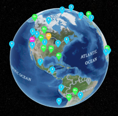
The world keeps changing; we watch and wonder why. The 50+-year EROS archive has answers. For National Online Learning Day, spin our Earthshots globe to see dozens of ways Landsat imagery informs us about our planet: https://t.co/iN0YsIUuHx
#ThinkLikeaScientist