Comprehensive Operational Forecasting and Nowcasting across the US | Severe Weather | Lightning | Floods | Snow | Ice | #COWX
~Your Window to the Weather~
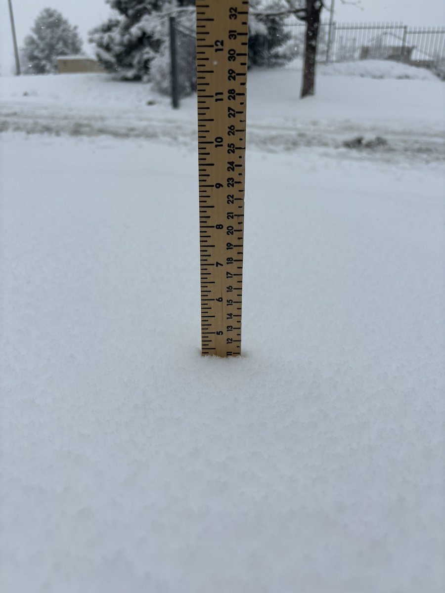
Parts of #Colorado got #snow last night! When will #Denver see snow? Check out the average, latest, and earliest snows in Denver. #cowx
https://t.co/tDGPVQ9upU
16 years ago yesterday, the town of #Windsor, CO was hit by a powerful EF3 #tornado. This was an extraordinary event that many Coloradans will never forget. https://t.co/Ao0xx7lhUO
#cowx
#severeweather is possible this afternoon and later tonight in #colorado with the potential for #tornadoes and #hail, particularly in the northeast part of the state. Stay alert!
https://t.co/2KrJtBd5ju
#cowx
After an action packed day for most of the Midwest and even parts of the #Denver Metro area, more #storms are expected this weekend with the potential for large hail and isolated tornadoes in eastern CO and....potential #snow *sigh*
#cowx#severeweather https://t.co/killIrkVHo
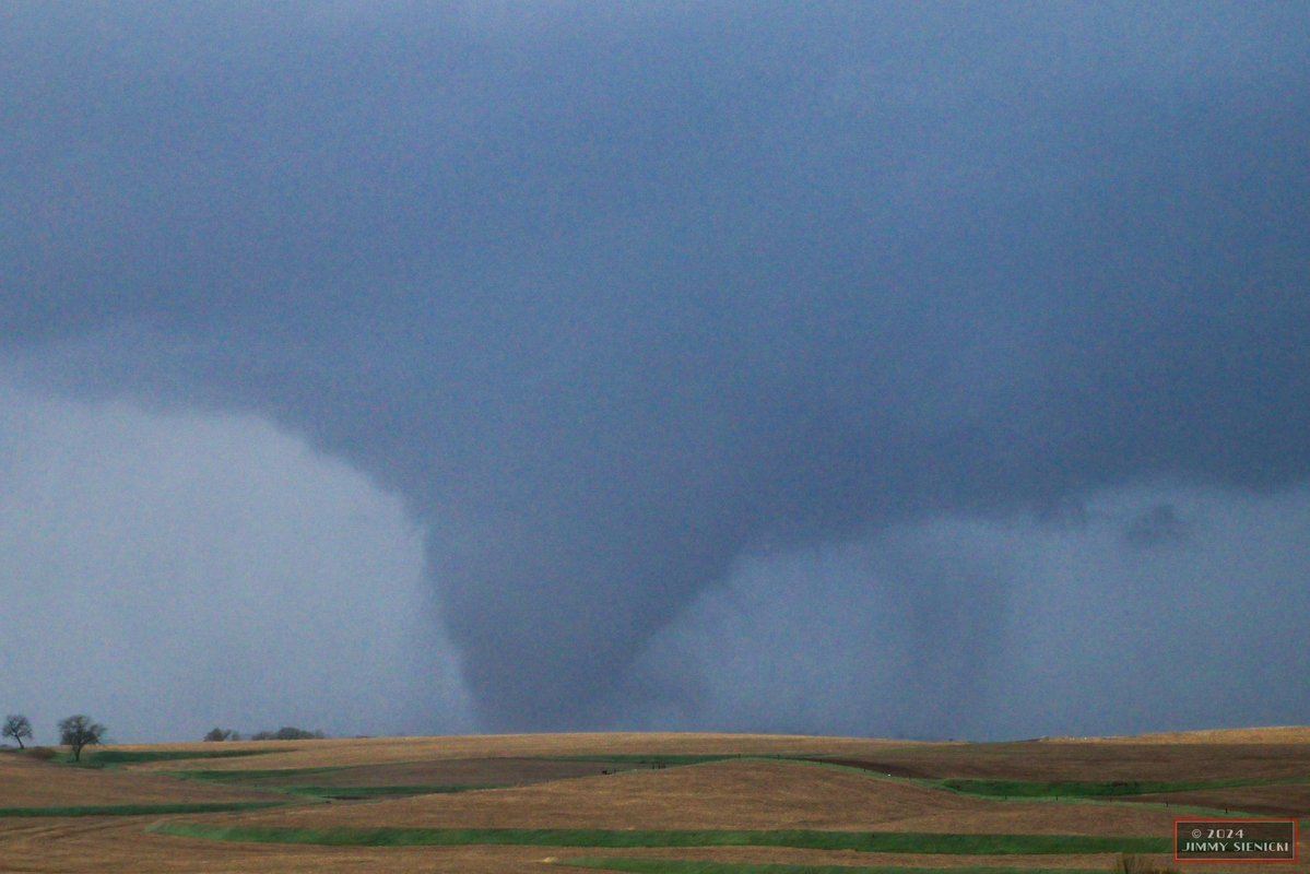
A terrifying sight to see.
Watch as this multi-vortex tornado crosses the highway in Harlan, IA! A tornado watch remains in effect until late this evening. #iawx
Another active day of severe weather is expected across a broad area tomorrow (4/27). Severe potential exists from the Great Lakes into central Texas. Tornadoes (some strong), hail (some 2+ in.), and damaging winds are all possible. Stay weather aware and check back for updates.
It’s officially storm season in Douglas County! Currently looking west from Meridian, CO at a currently severe warned storm. #cowx@NWSBoulder@WeatherNation
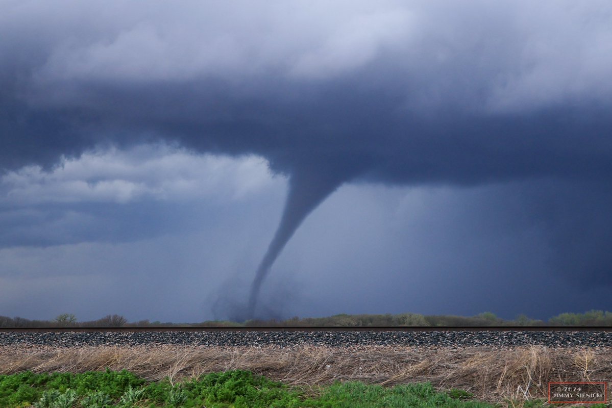
An absolute beast of a tornado producing supercell that is ongoing west of Palmrya, Illinois. This image captured 20 mins ago. @NWSStLouis#ilwx Watch live at: https://t.co/NYHSOgbcUn
After getting into the 80s this past weekend, highs in the 30s can be jarring for folks who are not used to #coloradoweather. But this type of shift is actually pretty common. Check out our blog about #temperature shifts and seasonal norms in #colorado: https://t.co/cBBnw3S3OX
The potential for severe weather is forecast to increase around the middle of next week. Broad areas from the Ozarks into the Upper Midwest (2/27) shifting eastward into the Mid-South/Ohio Valley (2/28) have been highlighted. Check back for forecast updates as details may change.
Possible #Severe weather for the Midwest and Deep South next week, including potential #tornadoes! Check out our blog post for the details.
https://t.co/xbNRfjnNtY