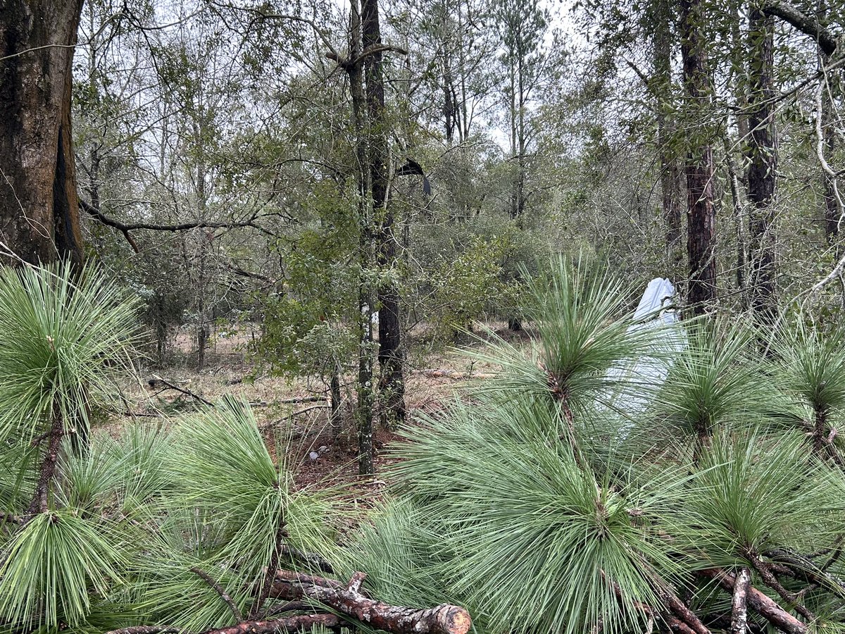
IT’S SNOWING IN FLORIDA! ❄️
I just took this picture in the Panhandle moments ago along Route 97 north of Pensacola. More snow is on the way! #Florida#Snow@spann@stormhour
The International Space Station just orbited above Hurricane Milton as it is re-intensifying over the southern Gulf of Mexico.
Spectacular view from space.
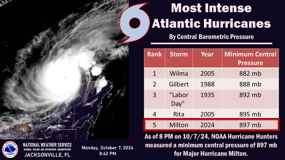
As of 8 PM 10/7, #Milton has entered the top 5 most intense Atlantic hurricanes since records began. The NOAA Hurricane Hunters measured a minimum central pressure of 897 mb in Major Hurricane Milton this evening.
In terms of atmospheric perfection, Milton is it. You simply won't find many examples of weather phenomena more representative of theory in textbooks. The eyewall is likely in near-cyclostrophic balance.
A satellite-loop for the history books.
#Milton is now a Category 5 #hurricane with max winds of 160 mph. Milton joins Michael as the only October Category 5 hurricanes in the Gulf of Mexico in the satellite era (1966-onwards).
UNBELIEVABLE. #Milton has rapidly intensified into a Cat 4 storm with estimated max winds of 150 mph.
🌀 This is one of the most rapid intensifications on record. (I'll have to go through my records to see exactly where it stands)
🌀It is only 7 mph short of a being a Cat 5, which will likely happen today or tomorrow.
🌀It's 735 miles away from Tampa, moving ESE at 8 mph.
🌀Central pressure of 940mb, which is stronger than most models had occurring this quick.
NWS Jacksonville has lost power and so KJAX & KVAX radars are down. @NWSNewOrleans has assumed backup for us. Please take shelter overnight as Helene makes landfall and heed all warnings. #flwx#gawx
#Hurricane#Helene is now a Category 4 hurricane with max winds of 130 mph. If it maintains that intensity until landfall, it would be the first Cat. 4+ hurricane on record to make landfall in Florida's Big Bend on record (since 1851). Prior record - Cedar Key (1896) - 125 mph.
#Tornado update: two Sunday Duval county tornadoes confirmed.
This morning's storm survey determined that an EF-1 tornado, with an estimated peak wind of 100 mph, touched down around 4:11 PM EST along Sal Taylor Creek to the southwest of Cecil Field and moved northward across Peacock Ridge Drive and Cochise Drive, lifting in the Sal Taylor Creek Preserve just east of Nathan Hale Road around 4:15 PM.
This tornado was on the ground for 1.05 miles and had a maximum path width of 200 yards.
A separate supercell thunderstorm produced an EF-O tornado, with an estimated peak wind of 85 mph, which touched down around 5:05 PM EST just south of Normandy Boulevard, or near the intersection of Cecil Commerce Center Parkway to the northeast of Cecil Field and moved northeastward, producing minor damage to fences and trees along Brian Lakes Drive and Justin Oaks Drive before lifting around 5:07 PM
near Chaffee Trail Elementary School.
This tornado's path was not continuous, with damages noted along a path of about 1.38 miles. Estimate maximum path of this tornado was 25 yards.
Via @NWSJacksonville