A software company specializing in #knowledgegraph based decision support systems deployed across the globe.
We build GeoPrism, GeoPrism Registry, and more.
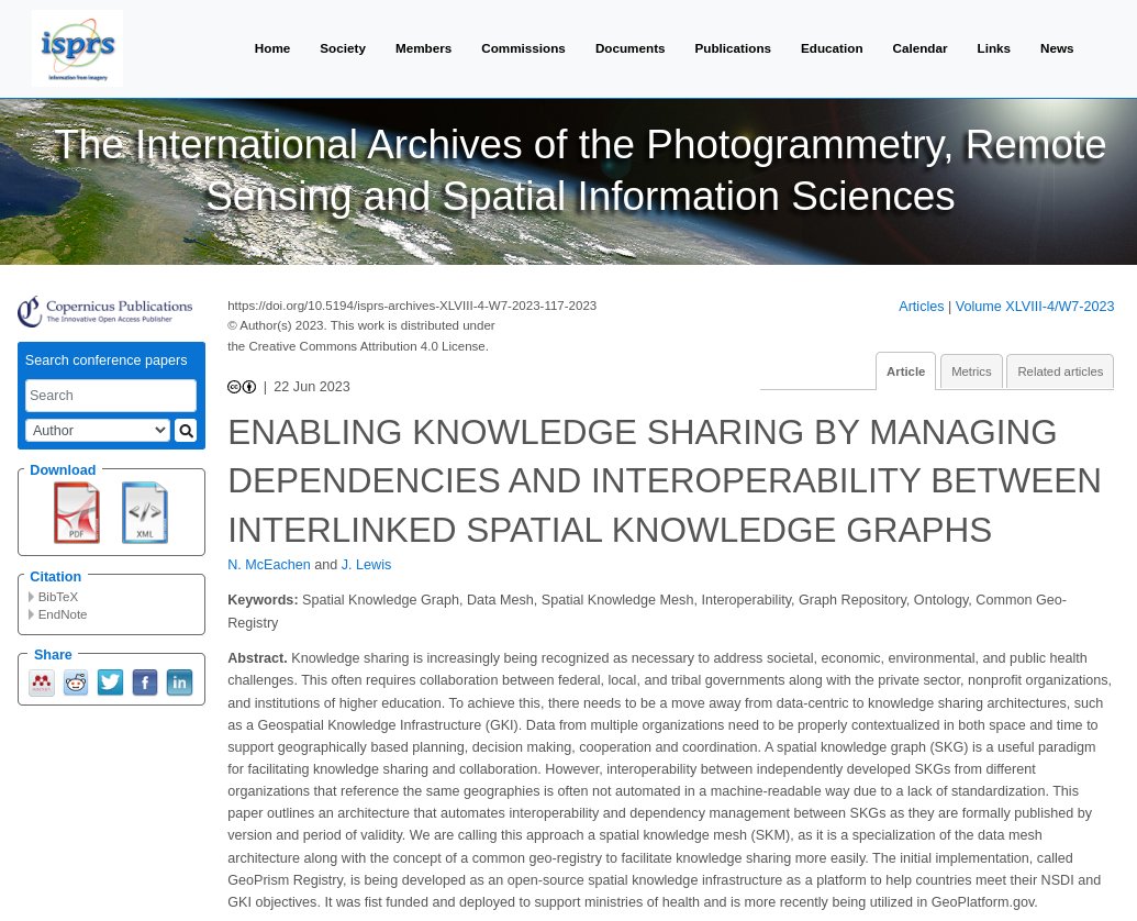
🎉We've just published a new paper focused on an architecture for interoperable spatial knowledge graphs where we introduce the concept of a Spatial Knowledge Mesh (SKM) to improve data sharing.
We're presenting on the topic at @foss4g this week!
https://t.co/plHbenPoa7
Creating commonly used identifiers and schemas are essential to making open data truly useful. Long exploration of this topic from @opencholmes and me at https://t.co/rt10waYnP5
Course 345 on #Terminology will help equip users with the information and abilities needed to understand healthcare standards and terminologies!
Check it out on the Academy site: https://t.co/Lf5GetVR3B
SEMANTiCS turns 20 & looks ahead! General Chairs,
@SaVahdati@AnLiGentile & Ronald Siebes, have a message for you: "This year's conference, on the 20th anniversary, is not just about the past, it is about shaping the future!" Come join us! https://t.co/1kBSorwycy… #SemanticsConf
🎉We've been selected to participate in The Open Geospatial Consortium (OGC) Climate and Disaster Resilience Pilot program for 2024! We're thrilled to be part of this initiative aimed at leveraging geospatial technology to address climate challenge and enhance disaster resilience
Check out this new partner organization!
"@TerraFrame automates knowledge sharing within ecosystems for public health, climate, & for achieving the sustainable development goals"
Learn more about this organization on our website: https://t.co/sCWXYFIXAB
Continued experiments with an autonomous CRM that slowly creates a massive knowledge graph.
This time, I'm testing specific edge types, which loses flexibility, but also makes the output easier to query and understand.*
*I'm using function call to get JSON, and the "enum" feature to specify edge types
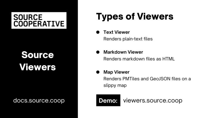
Say hello to Source Viewers—a new addition to @source_coop that lets you easily view data files directly in your browser! ➕It's open source & we’re looking for collaborators to make data easier to work with on the web. Contribute to expand our file types
https://t.co/sXzSJuR1ee
I conducted a workshop on Monitoring Land Use Land Cover Changes with Google #EarthEngine and #DynamicWorld at #InGARSS2023. Sharing the full workshop material that has some new monitoring examples with JS and #Python code. See the thread below for details and explanation 👇(1/n)
🎉 The @DPGAlliance officially recognizes GeoPrism Registry as a Public Good for another year! We appreciate their commitment to values in how they verify requirements every year while adapting to changing expectations
We're committed to #digitalpublicgoods and #opensource
We're presenting at the #GDHF2023 today!
Automate Knowledge Sharing to Support Sustainable Development Goals Using Spatial Knowledge Graphs Implemented in a Graph Database
Come say hi!
#globalhealth#health#digitalhealth#knowledgegraph#data
https://t.co/pICDBons8B
📣 Nominate an individual or team doing brilliant, meaningful work in the digital public sector for a #FutureofGovernmentAward. ➡️ https://t.co/yQArDMpbUG
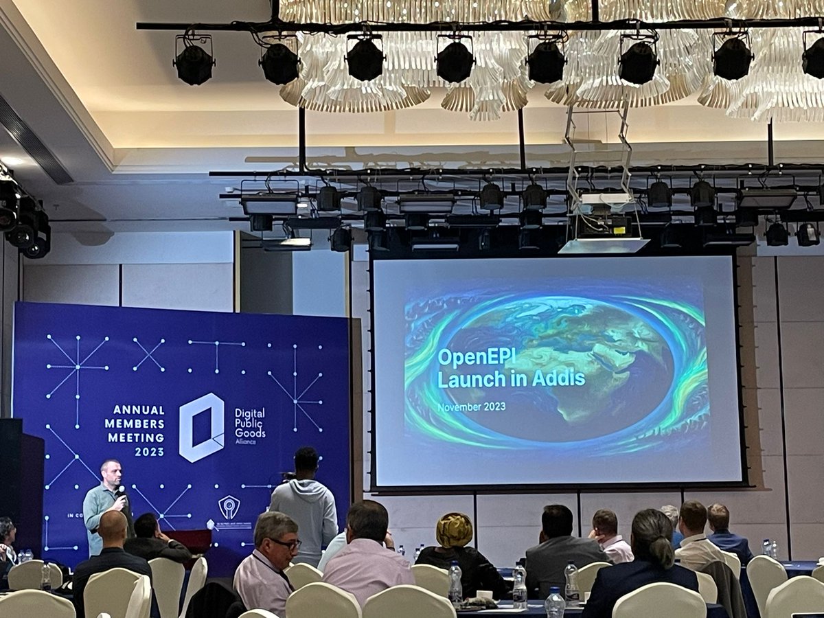
🌍✨ Exciting news! Just launched: Open Earth Platform Initiative, a platform for harnessing #OpenData, #OpenAI, and #OpenTechnology to empower innovation worldwide.
#OpenEPI is a global initiative revolutionizing our approach to major challenges.
👉 https://t.co/AHbWag1GAT
Starting Nov 24, @GRID3 will host a free, 3-week online training on microplanning-related data and GIS. Users will be given an array of geospatial data and shown how to analyze, process, and visualize them via the map function in QGIS. Enrollment begins Nov 22. 1/2
In his quest to make the Google Buildings dataset more accessible, @opencholmes stumbled on fascinating insights! @GeoParquet + @duckdb unlock the potential for traditional desktop GIS, cloud-native queries & more. Read his latest blog post + what's next
https://t.co/xXfTw67tEK
In response to community feedback, we’ve launched a series of tutorials to help you have more success collecting data. The first is a step-by-step guide to designing your first XLSForm. Please retweet and follow to get notified of the next tutorial.
https://t.co/n5RKskelCL
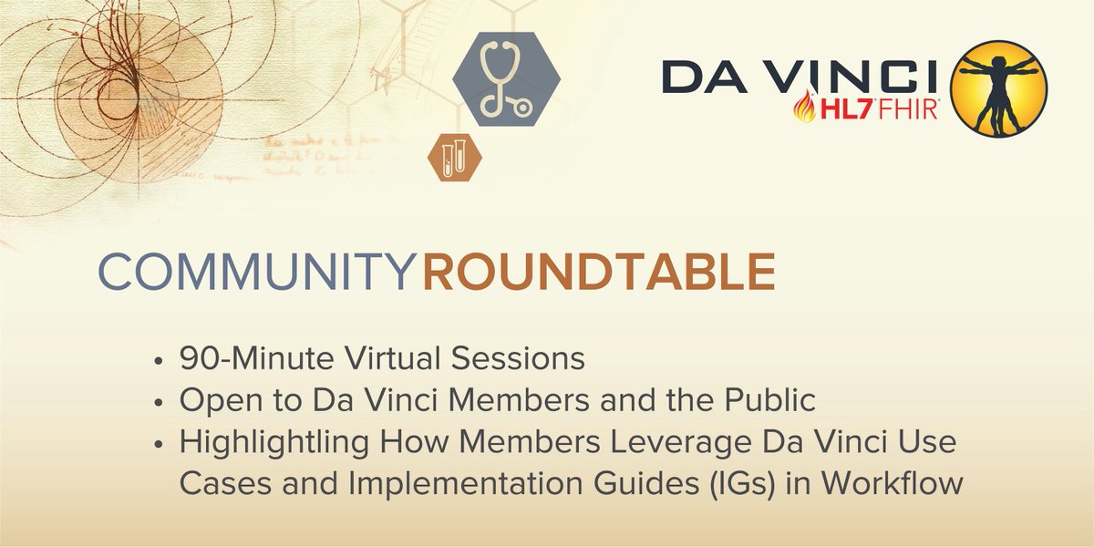
Don’t miss today’s #HL7#davinciproject Community Roundtable, The Power of Collaboration: 2023 HL7 Da Vinci Project Implementation Guide Progress, with Da Vinci lead speakers from @OnyxHealth_Tech, @pocp and @ZeOmega on Oct. 25, 4 p.m. ET Register: https://t.co/LlfGCxgvq5 #FHIR
Reminder: join us tomorrow (Thursday) for our webinar with @Vital_Wave on Digital Public Infrastructure for Health (DPI-H) at 11am ET.
If you haven't yet registered, you can do so here: https://t.co/QMELJVhv1J
Introducing lonboard: the fastest way to visualize large geospatial vector data from Python.
Here's 3 million points rendered with a unique color and radius per point, in two seconds.
https://t.co/huNmyLpAr5
https://t.co/qqNcujpWrd