BRIDGE FIRE UPDATE
Fire raced through the area yesterday but GREAT NEWS! All the main lifts & buildings survived with little to no damage. THANK YOU to the fire fighters & employees for their hard work! Our hearts go out to the Wrightwood community, WE ARE WITH YOU. #BRIDGEFIRE
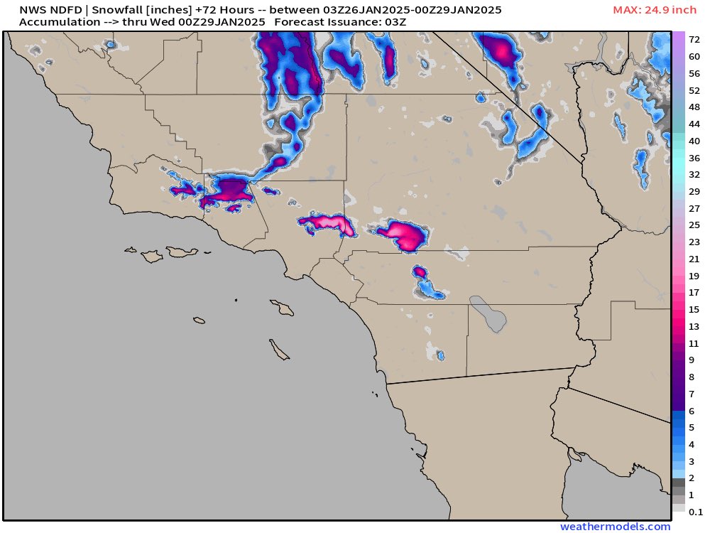
It looks like what some of the high-res short range models are showing, with the idea that the East-West orientation of the Transverse ranges will do better than the North-South Peninsular ranges. But I agree, I would expect some better snow accumulations in higher elevations in SD County.
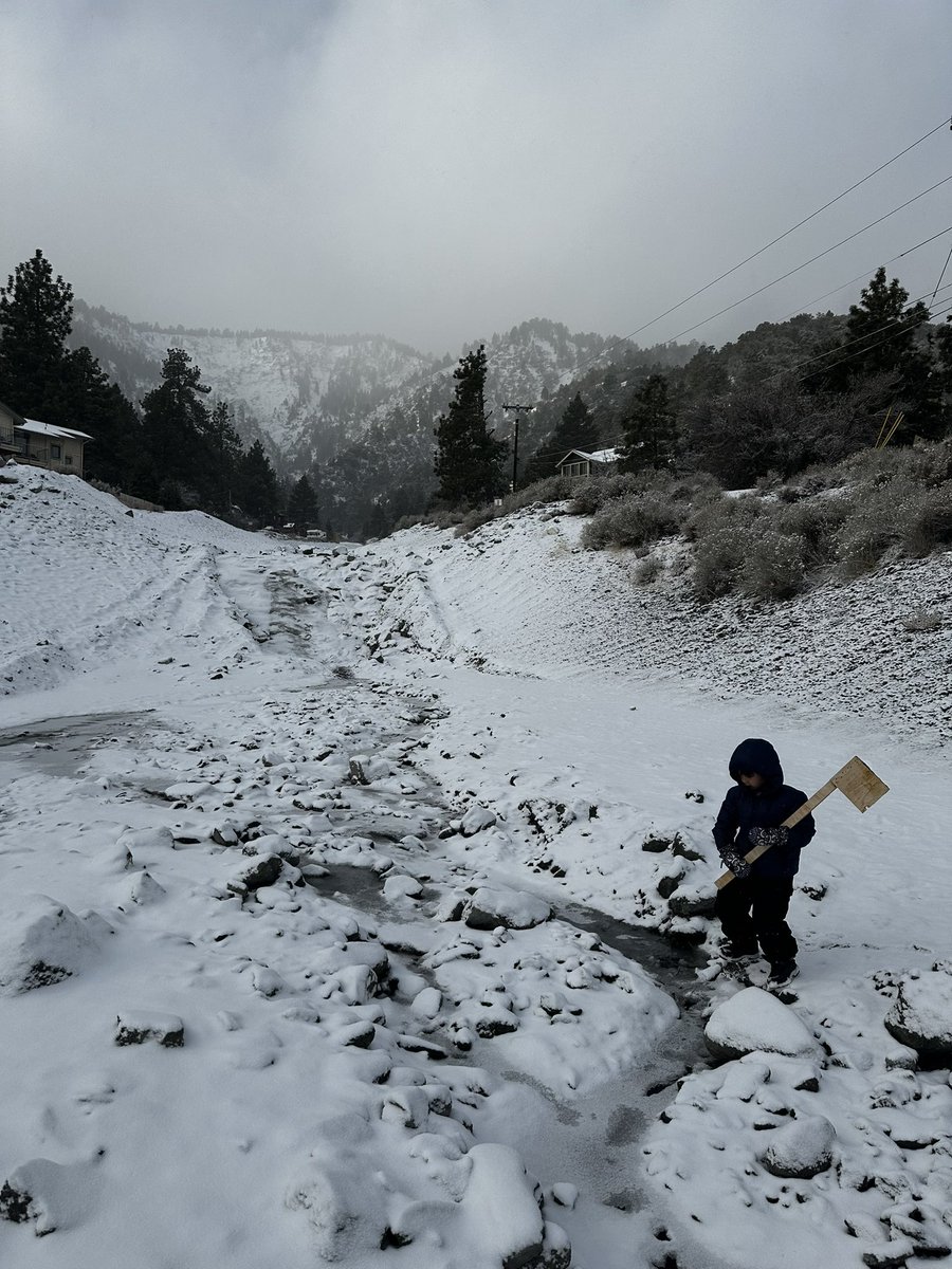
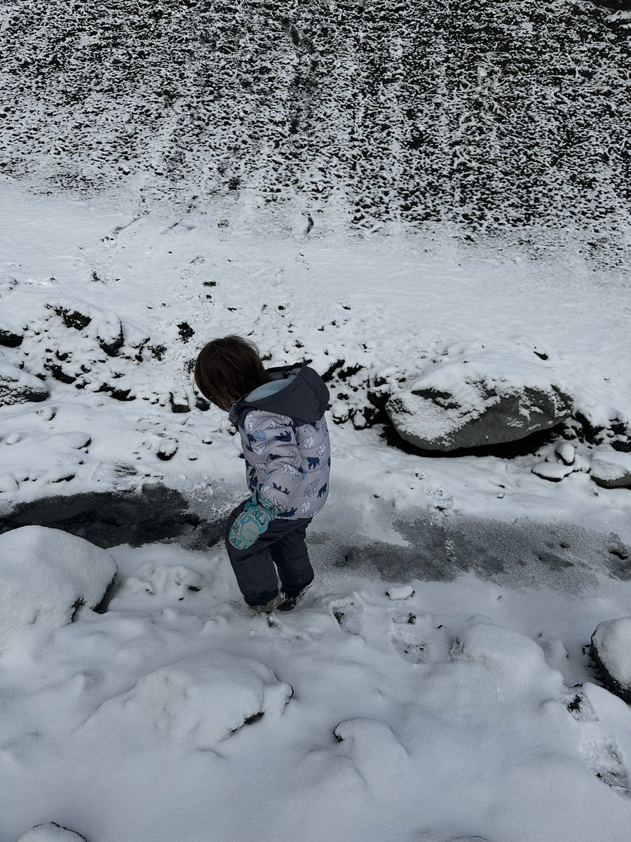
Also not getting any rain after the Bridge Fire, followed by snow in early January and a cold storm now, was oddly also incredible luck for Wrightwood, since the snow will slowly melt in spring and reduce the chance of mud flows.
How often had I cursed the dead calm of summer in Wrightwood when it just refuses to cool off at night? I don’t think I’ll ever look at a perfectly still tree on a summer evening the same way again.
Snowing in downtown Wrightwood & clear starry skies just 1 mile east where we’re in the shadow of Baldy, Dawson, and Pine Mtns for these storms with south flow. The south flow that’s a perfect winter setup for Mtn High is a disastrous alignment for a fire burning down by Heaton…
We were lucky that night back in September. But we also had wind patterns controlled by topography on our side, as evidenced by the crooked timber of Table Mtn and the straight and true timber of Wrightwood.
This storm has decent south winds and low snow levels which favors the Ontario/Cucamonga ridge and Crystal Lake area. The small storm we had before favored the north facing desert slopes. All of that suggests… Islip to Hawkins, assuming the 39 opens up.
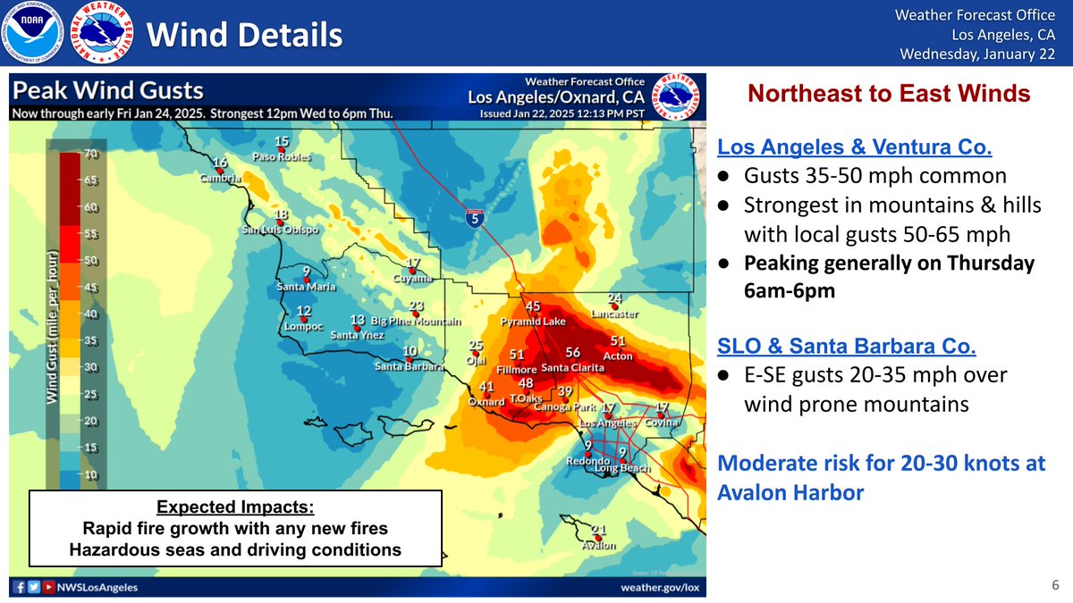
DANGEROUS FIRE WEATHER environment thru Friday, peaking on Thursday. Any new fires can grow fast and out of control. Stay aware of your surroundings. Heed any evacuation orders. Have a plan, especially if you are in a high fire risk area. Push through, relief coming this weekend!