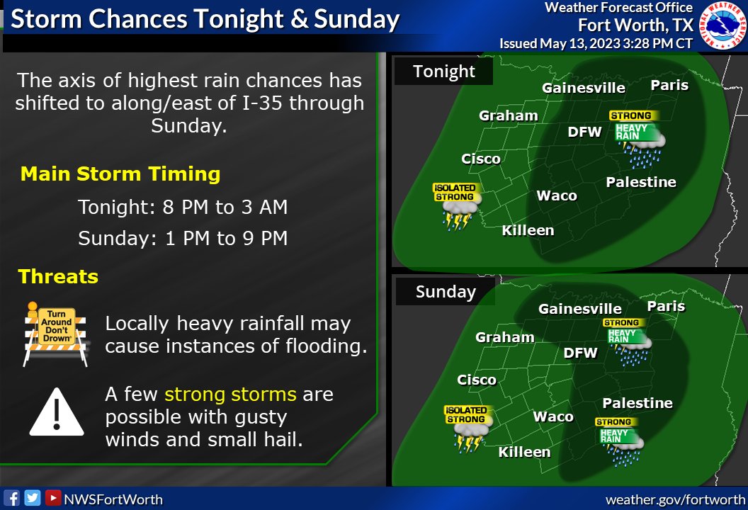
After much of the area has seen a lull in activity today, storm chances will increase later this evening & tonight especially along/east of I-35. Heavy rainfall and instances of flooding remain the primary threat, with additional storms expected Sunday. #dfwwx#ctxwx#txwx
Classic “comma” low pressure system over the central United States is leaving us with quite the satellite image.
Storms are in full swing across Nebraska and Iowa with a Particularly Dangerous Tornado in progress now.
@MyRadarWX
930pm - Winds of 40-50 mph currently possible with the line of storms moving into North Texas. Should continue to weaken some while moving east, but heavy rain/flooding will still be of concern overnight. #dfwwx