Official weather account of Parker Yount, weather enthusiast providing forecasts, news and alerts for central NC. Weather rocks. UNC Chapel Hill '20 #stayclassy
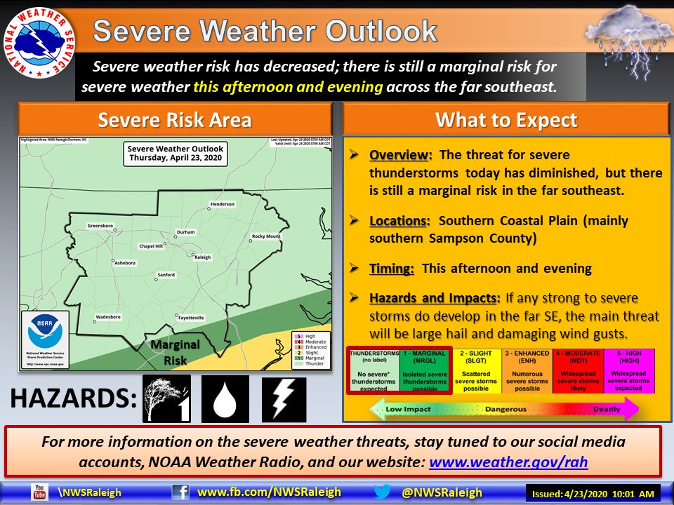
The severe weather threat has further decreased today across central NC, with only far southeastern parts of the area under a marginal risk. Elsewhere, there is a general threat for thunder, with scattered showers and possibly a few storms this afternoon and evening. #ncwx
An Enhanced risk is in place across parts of the Southeast tomorrow, Thursday April 23rd, with severe storms capable of producing damaging gusts, large hail, and tornadoes (a couple potentially strong). Please check back periodically for future updates. https://t.co/cM2G0CVMc7
My unofficial data has 141 Tornado Warnings issued by the @NWS for the 12z to 12z (7 AM CDT) period ending this morning (13 April 2020). This is the largest number of warnings since 285 on 2-3 March 2012. 27-28 Apr 2011 is largest on record at 450.
We just witnessed the largest single-day number of tornado warnings in nearly a decade in the US. Just goes to show just how impressive this tornado outbreak was in the southeastern US. #mswx#alwx#gawx#scwx#ncwx
Good news! Won’t be long before we are out of the neck of the woods. Praying that the eastern part of the state doesn’t feel this as badly as the rest of us.
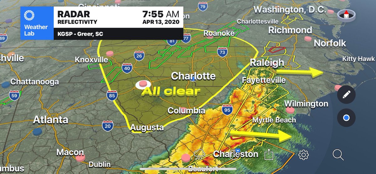
Giving the all clear sign for the western Carolinas. Strong to severe storms will continue in the eastern Carolinas for the remainder of the morning. #cltwx#ncwx#scwx
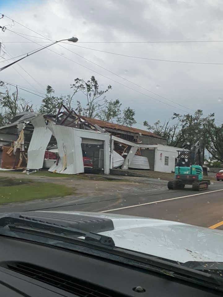
At least 18 people were killed and hundreds of homes were damaged as severe storms swept across the South. The National Weather Service says the storm front is expected to bring potential tornadoes, wind and hail to the mid-Atlantic states. https://t.co/pk3ADdQZZL
The #Soso, MS fire station sustained major damage from the catastrophic tornado that moved through northeastern Jones County on Easter. The Storm Prediction Center estimated at the time that this had peak winds of 170-205 mph. 📷: Stacy H. @WJTV@NWSJacksonMS#MSwx
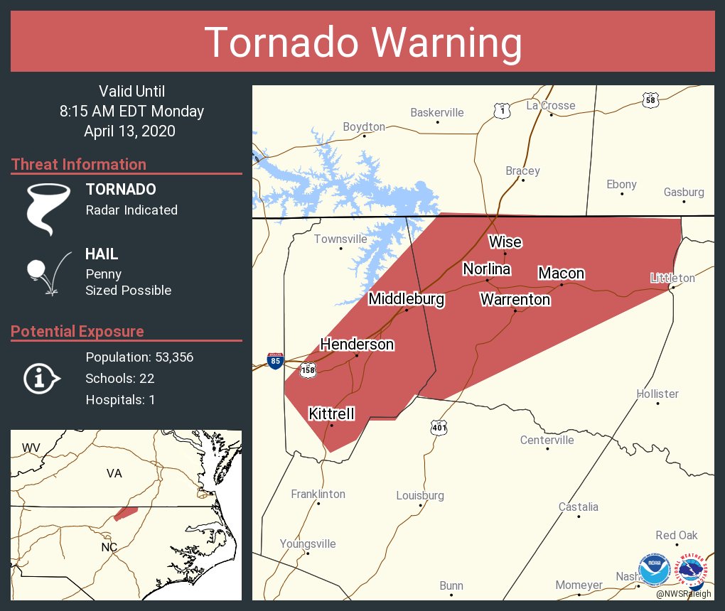
There’s lots of mid level rotation on this line segment between Southern Pines and Laurinburg, NC. My peeps in the Sandhills of NC need to keep an especially close eye on this over the next few hours because it wouldn’t take much for these to produce isolated tornadoes #ncwx
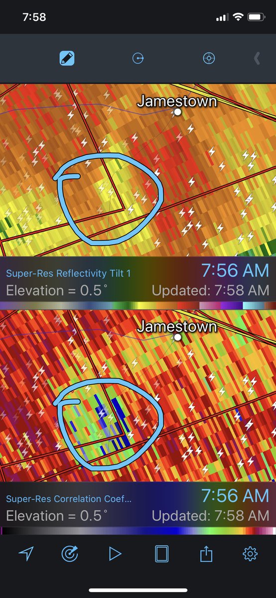
Yet another obvious large & dangerous tornado on the ground in SC just passing to the north of the KCLX radar. This one is completely rain wrapped. You just don't see these types of signatures at 630am in SC. #SCwx