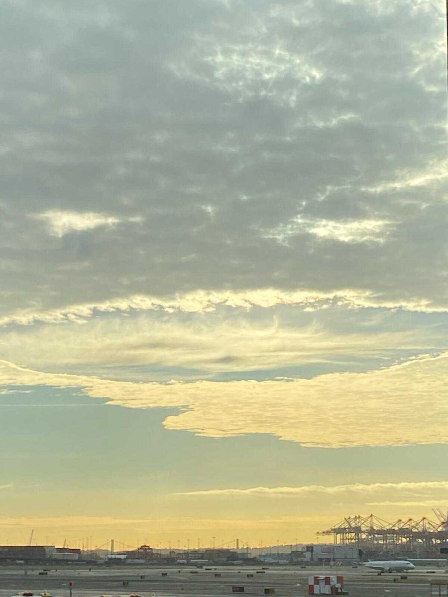
It’s a beautiful day in Pendleton, OR for the @APWA_Oregon conference ☀️ but winter is just around the corner! Stop by our booth to hear about how our weather decision support services can help you prepare for inclement winter weather ❄️
**UPDATE** We just hit 116 degrees in Downtown Sacramento. That is the new All-Time highest temperature for Downtown Sacramento. Old record was 114 on July 17, 1925. #cawx
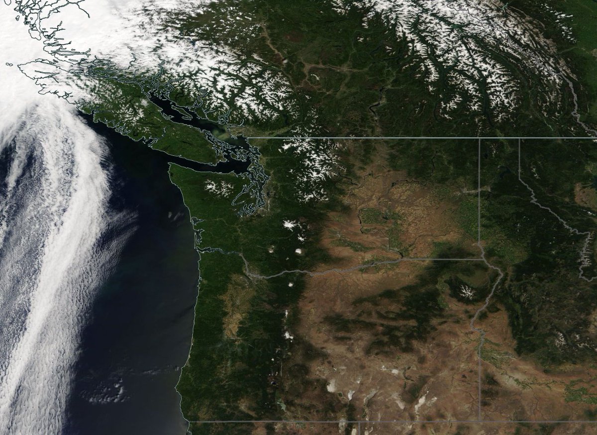
Barely a cloud in the sky over the PNW today! Mainly dry weather is expected through the week with the next shower threat holding off until the weekend. Plus, check out the high mountain snowpack along with sediment from snowmelt flowing out of the Fraser River!
Happy #CanadaDay from all of us at Weathernet! 🇨🇦 We're keeping an eye on a few showers and storms developing over the interior mountains, but otherwise it's shaping up to be a beautiful day with temperatures in the 20s across much of BC!
The persistent pattern of cool and wet weather that we have seen for much of this spring in the northwest will finally shift this weekend as a ridge builds over the region, bringing above average temperatures just in time for the start of the summer! #WAwx#ORwx#BCstorm
Showers and t-storms are starting to develop from the Cascades eastward and will continue though this evening. Water runoff and drainage issues from heavy rain will be possible under any storms in the Cascades as well as North Central WA. #WAwx#ORwx#BCstorm
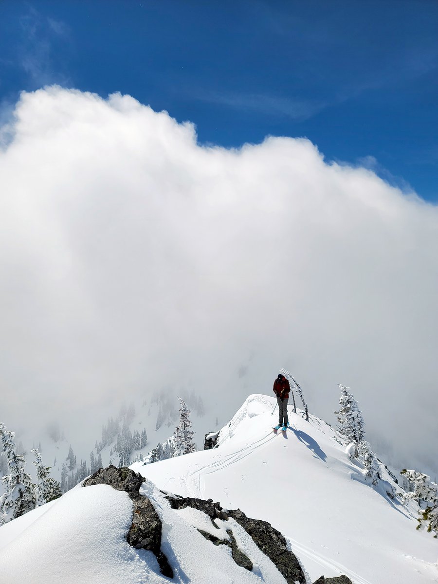
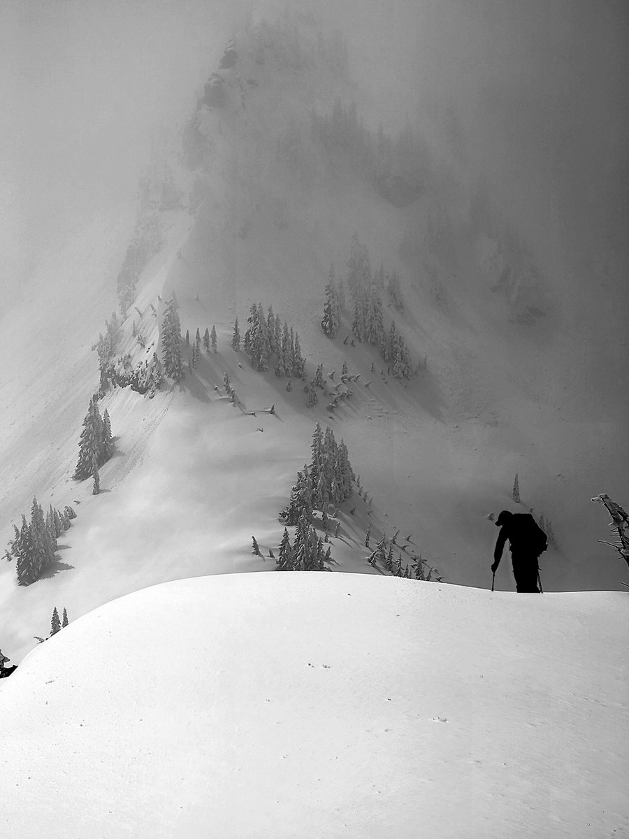
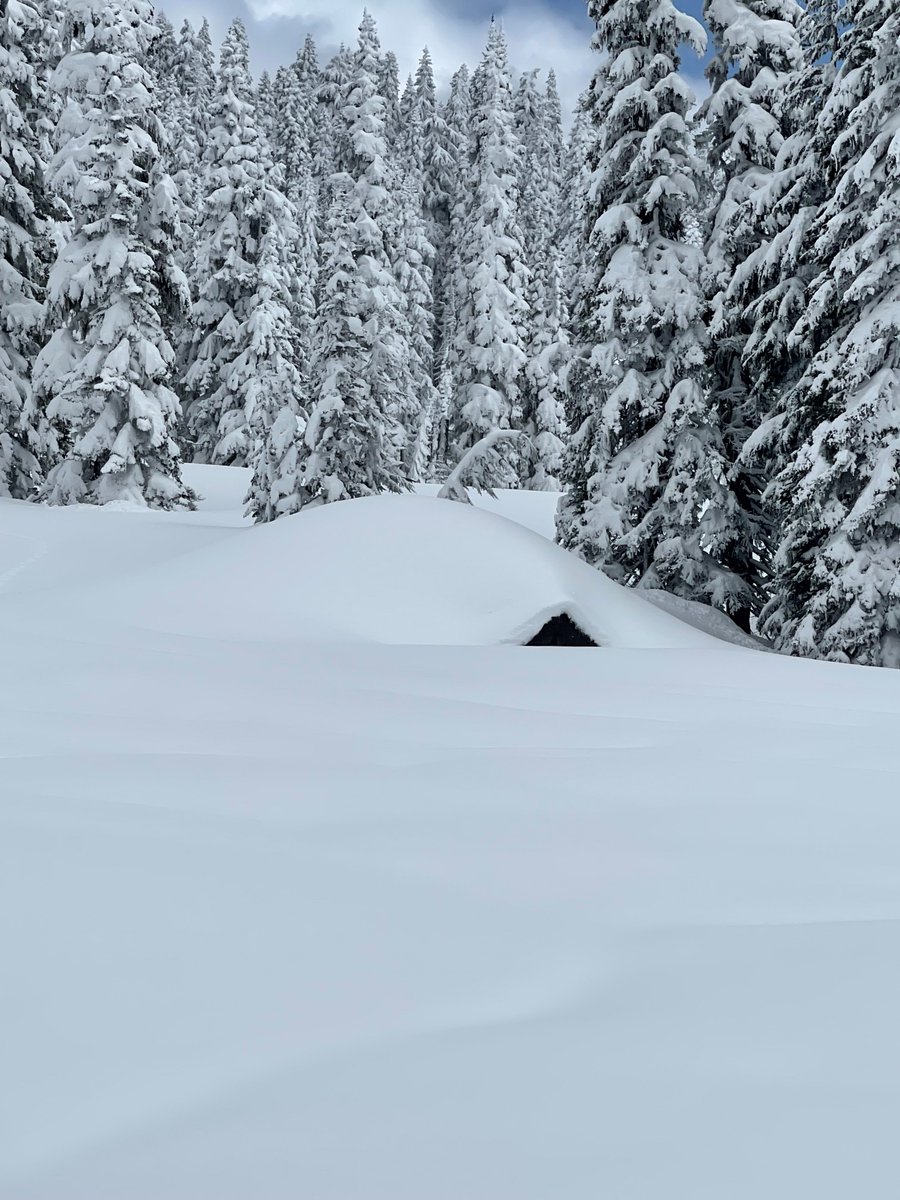
While the persistent winter-like road conditions this spring may not be great, the pictures sure are nice! We're expecting light snow for the higher elevations tonight before snow levels rise tomorrow, but cooler air and more mountain snow returns next week. #WAwx#ORwx#BCStorm
SR 410/Chinook & SR 123/Cayuse update
➡️Another cool & snowy week.
➡️The avalanche crew (finally) got a break in the weather to knock some slides down.
➡️MORE snow is in the forecast now through next week.
➡️150 inches of NEW SNOW since April 1.
New 📸: https://t.co/hS5xtdra7J
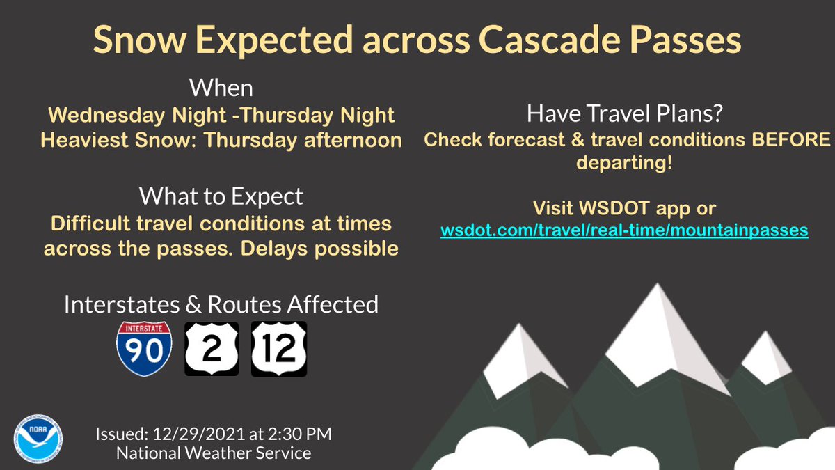
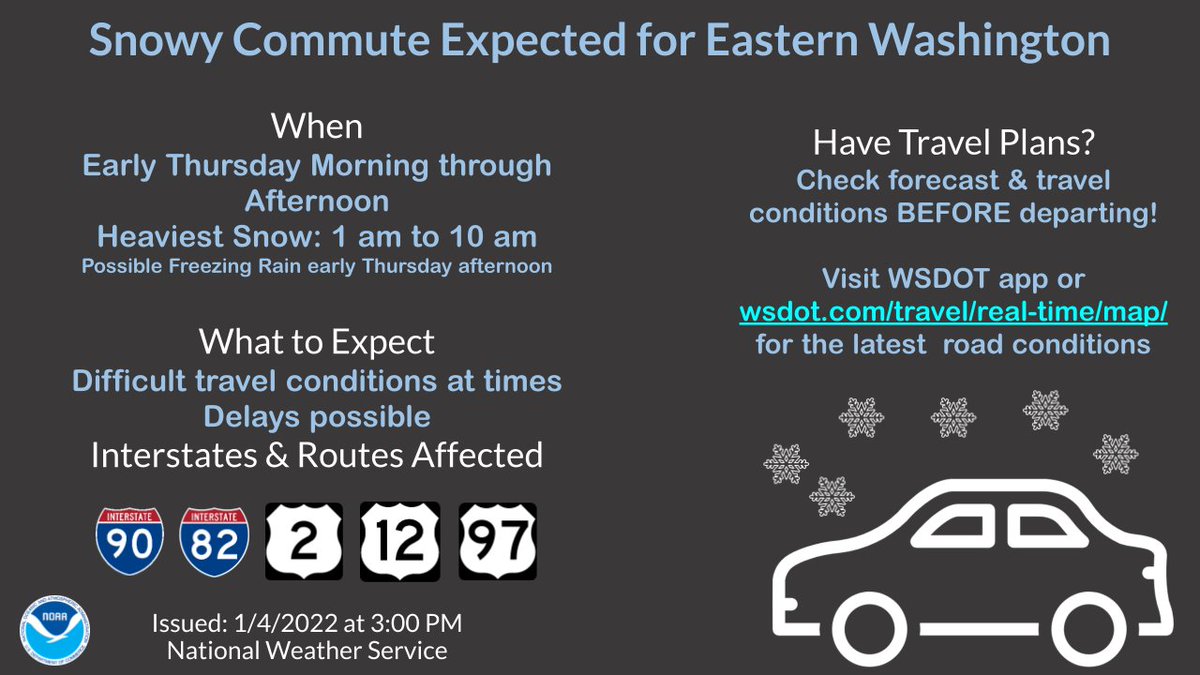
Snow will bring travels delays and impacts to all Cascade passes and I-5 from northern Skagit through Whatcom county Wednesday night and Thursday. @wsdot@wsdot_passes@wsdot_north#wawx
The next widespread snow event for the Inland northwest Wednesday night, Thursday and even Friday (Passes). Heavy snow, mixed rain and snow will impact Pass travel and lowland roads @WSDOT@WSDOT_east#wawx#idwx
SNOWY TRAVEL
🗓️ WED Night - THU
📈 Difficult travel conditions at times. Delays possible. Freezing conditions will continue through FRI
🛣️ All major interstates & routes in western WA
ℹ️ Check the forecast & @wsdot road conditions before departing https://t.co/C4hH1VayPq…
#wawx
Is forecasting a white Xmas at the office any different than when I was a kid? The last 3 weeks have flown by, but I’m so excited to announce that I have joined Weathernet as an operational meteorologist! It’s a dream come true to continue forecasting the PNW weather I love!
⚠️🌨️🚗🚙🚌🚐🌨️⚠️
TRAVEL CONDITIONS
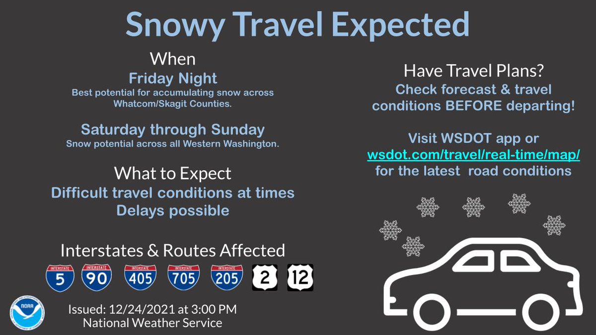
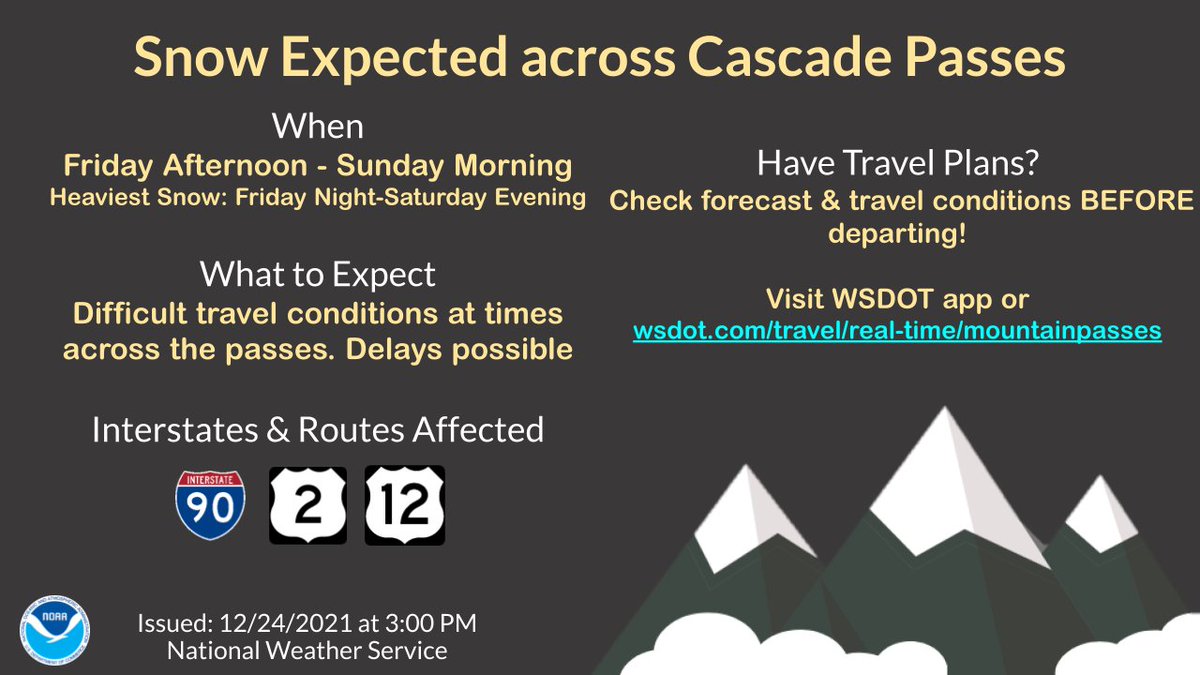
Snowy, difficult travel is expected at times this weekend. Be sure to follow our partners at @wsdot for the latest road conditions: https://t.co/vftbgwcfz0
#wawx
You may have heard we’re expecting a storm. 🌨 At UDOT the work begins well before the first snowfall. ❄️
Check out the video to see the “calm” before the storm and how our teams work together to maximize our efforts in the most efficient way possible.