Meteorologist/Cloud Wizard @EarthNetworks & @WeatherBug | Penn State Alum | Instagram/Facebook: WxDan24 | I stare at clouds and try to predict their next mood
Violent wind and rain battered parts of southwest Florida on Wednesday, October 9, ahead of Hurricane Milton's landfall.
Footage shows a possible tornado outside a home in Fort Myers.
Credit: Dylan Boehm via Storyful
The final data has confirmed that #Helene's moisture plume was the most intense on record for parts of six states: Florida, Georgia, South Carolina, North Carolina, Tennessee, and Virginia.
The integrated vapor transport (IVT) associated with Helene was up to around 1.5 times higher than any previous system in this region since at least 1940.
IVT measures atmospheric moisture transport, such as with hurricanes and atmospheric rivers.
The map below highlights the record-breaking swath and quantifies how much more intense Helene's plume was than the previous record.
Morning Waterspout!
This waterspout off of Zákynthos, Greece on August 20 makes it in our top 10 waterspouts of 2024. 📸Αβρααμ Τσομπανιδης-Μακης Σεκερλης See where waterspouts are occurring around the world at: https://t.co/WPioHG02Jy
VIDEO: 🌞 Did you see the northern lights last night? There were many reports they could be seen as far south as #Florida and #Texas and it was all thanks to a CME or Coronal Mass Ejection on the Sun May 8th and 9th.
Credit: NOAA via Storyful
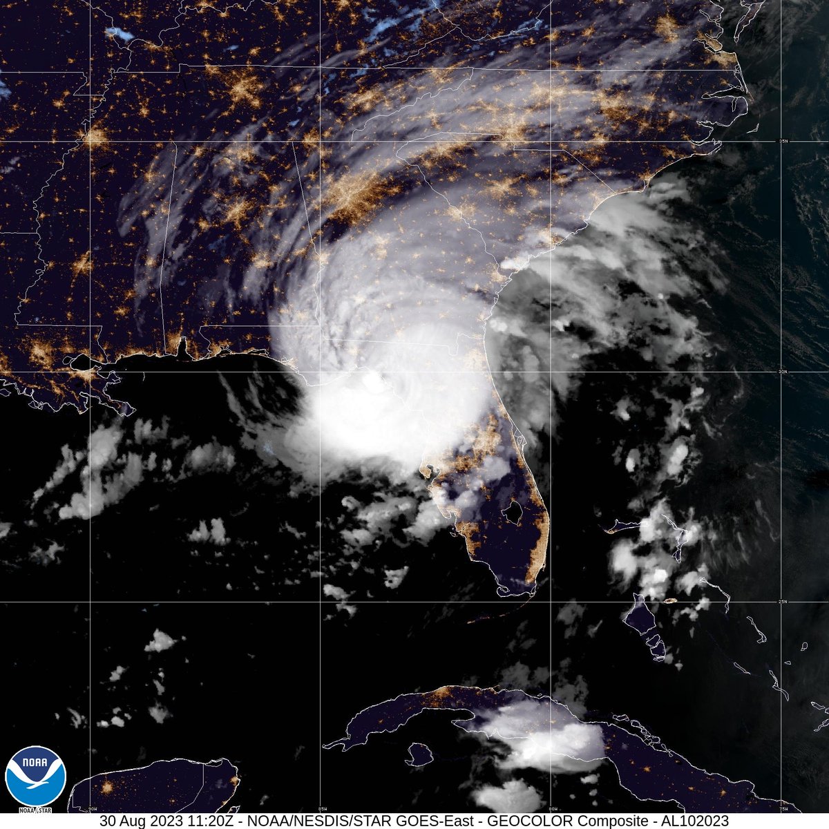
7:45 AM EDT update: Extremely dangerous Category 3 Hurricane #Idalia makes landfall in the Florida Big Bend. Maximum sustained winds were estimated to be 125 mph. Catastrophic storm surge and damaging winds ongoing.
#Franklin and #Idalia are forecast to be #hurricanes simultaneously on Tuesday, August 29. The last time that the Atlantic had 2+ hurricanes simultaneously in August was in 2010 (Danielle and Earl). The record for simultaneous hurricanes in August is a whopping 4 set in 1893.
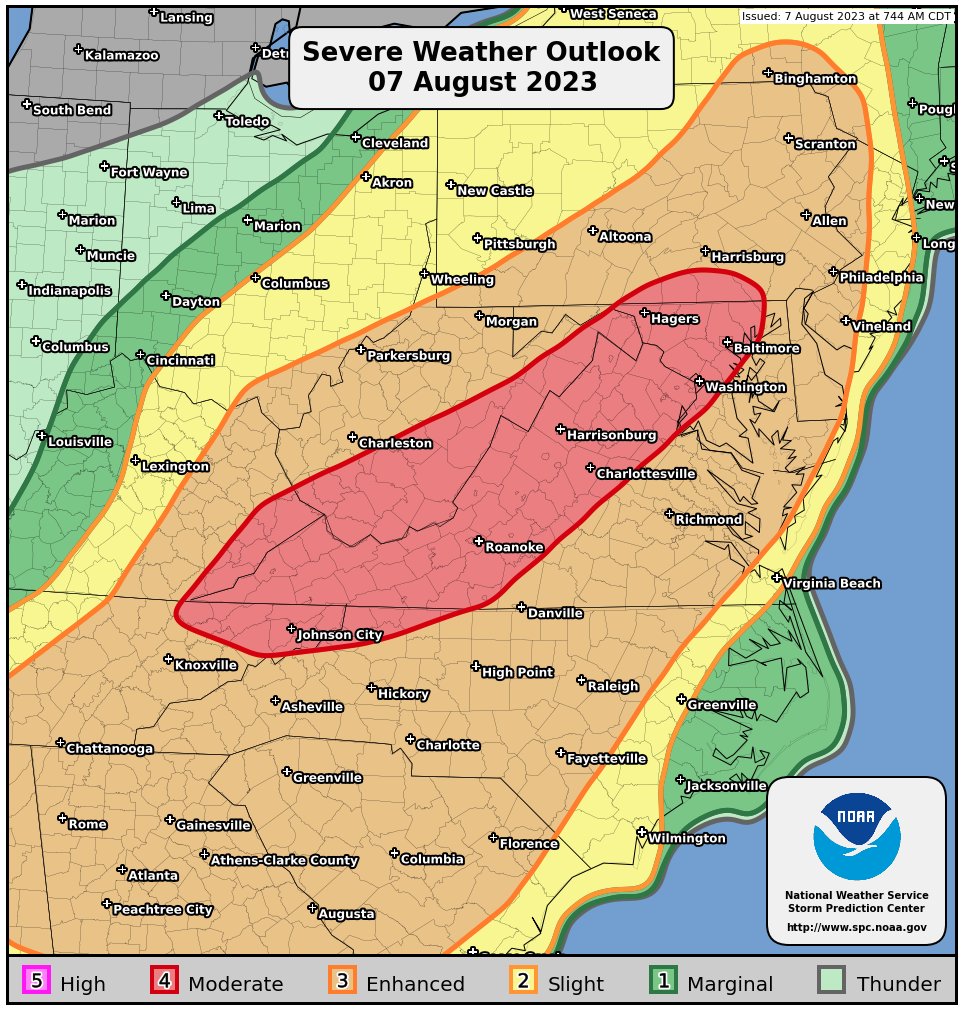
⚠️Breaking Weather News⚠️ Severe T'Storm Watch coming out soon for all of northern Ohio and NW Pennsylvania! Stay weather aware tonight for damaging winds, large hail, isolated tornadoes, and heavy rainfall with flash flooding threat! #OHwx#PAwx
https://t.co/Gs8T5A4XHw
This event a bit concerning for NW PA. High winds are the main threat but I’m seeing a tornado and hail risk as well. Storms potentially occurring overnight. Keep those weather alerts on ! 🚨
The Gulf of Mexico this week is the hottest it's been at any point in any year on record by a wide margin. Weekly averaged Gulf sea surface temperatures have never broken 87°F but this week topped 88°F, an astonishing 1.4°C (2.6°F) above the 1991-2020 average.