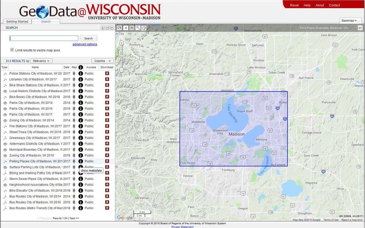
Big News! For the first time since it's initial launch in 2014, ALL geospatial data (over 2,500 datasets!) in the GeoData@Wisconsin portal are PUBLIC and freely downloadable by anyone. No restrictions on access is a WIN for data consumers everywhere! https://t.co/Ys4d5TRQwH
[NEW] Announcing Trimble Ag Software's Yield Data Cleaning tool, free with Farmer Fit and Pro accounts! Automatically fix grain flow delays, GPS errors, sensor errors, & overlaps, saving you countless hours manually fixing them field-by-field. Watch more: https://t.co/UyBcUFDAXE
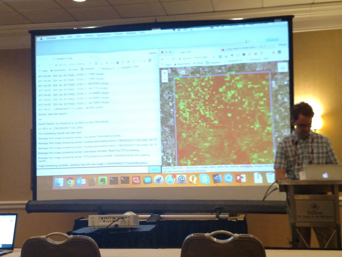
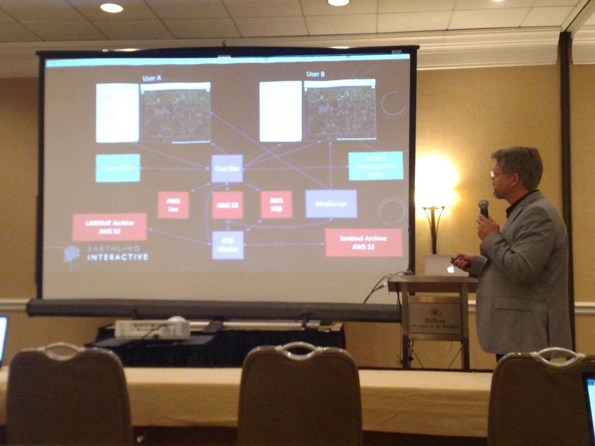
"Earthling Interactive, a local online app developer, has organized the inaugural 'Wisconsin Ag Innovation Forum,' a showcase of entrepreneurs and researchers working on technology geared toward farmers"
https://t.co/mDE32iL3sM
Ever since I first tried Juypter notebooks at Boston foss4g, I loved the idea of notebooks for data science, but wanted to use javascript. With pixiedust we get easy data visualization in Jupyter and now with pixiedust_node, we finally get JS!
Thank you @rajrsingh!
#foss4gna
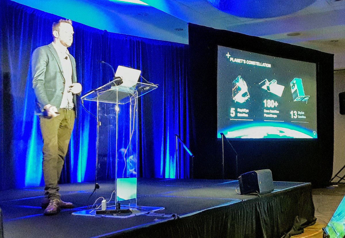
#FOSS4GNA Keynote @opencholmes has rapt audience looking at him, not their devices, w/ superb talk linking micro satellites, micro rockets, machine vision, deep learning & open software & standards to tackle the planet's biggest problems. @planetlabs
https://t.co/mNl6xB4n3M The gdalbarn SRS initiative just reached their fundraising goal for roadmapped improvements to coordinate system interoperability and stability across open source libs. #foss4gna
Great tutorial on print mapping using a purely #OpenSource stack: @QGIS + @inkscape, by Morgan Hite at #VanCartoDay. Just one of many examples from his blog: https://t.co/xFuwGKNpSI